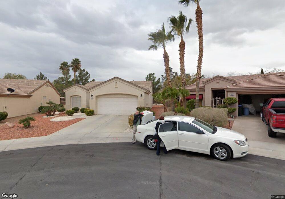
495 Pine Trace Ct Henderson, NV 89012
MacDonald Ranch NeighborhoodEstimated Value: $432,083 - $468,000
2
Beds
2
Baths
1,418
Sq Ft
$317/Sq Ft
Est. Value
About This Home
This home is located at 495 Pine Trace Ct, Henderson, NV 89012 and is currently estimated at $449,271, approximately $316 per square foot. 495 Pine Trace Ct is a home located in Clark County with nearby schools including John Vanderburg Elementary School, Neil C. Twitchell Elementary School, and Bob Miller Middle School.
Ownership History
Date
Name
Owned For
Owner Type
Purchase Details
Closed on
Jun 20, 2016
Sold by
Bond Barbara
Bought by
Bond Barbara L and The Barbara L Bond Revocable Living Trus
Current Estimated Value
Purchase Details
Closed on
Sep 12, 2008
Sold by
Hopkins Dixie Lynn
Bought by
Bond Barbara and Bond Barbara L
Home Financials for this Owner
Home Financials are based on the most recent Mortgage that was taken out on this home.
Original Mortgage
$192,000
Outstanding Balance
$125,539
Interest Rate
6.51%
Mortgage Type
Unknown
Estimated Equity
$323,732
Purchase Details
Closed on
Aug 3, 1998
Sold by
Perry James R
Bought by
Perry James R and The James R Perry Living Trust
Purchase Details
Closed on
Jun 3, 1996
Sold by
Del Webb Communities Inc
Bought by
Perry James R
Create a Home Valuation Report for This Property
The Home Valuation Report is an in-depth analysis detailing your home's value as well as a comparison with similar homes in the area
Home Values in the Area
Average Home Value in this Area
Purchase History
| Date | Buyer | Sale Price | Title Company |
|---|---|---|---|
| Bond Barbara L | -- | None Available | |
| Bond Barbara | $240,000 | Landamerica Green Valley | |
| Perry James R | -- | -- | |
| Perry James R | $134,500 | First American Title Co |
Source: Public Records
Mortgage History
| Date | Status | Borrower | Loan Amount |
|---|---|---|---|
| Open | Bond Barbara | $192,000 |
Source: Public Records
Tax History
| Year | Tax Paid | Tax Assessment Tax Assessment Total Assessment is a certain percentage of the fair market value that is determined by local assessors to be the total taxable value of land and additions on the property. | Land | Improvement |
|---|---|---|---|---|
| 2026 | $2,031 | $95,978 | $38,500 | $57,478 |
| 2025 | $1,971 | $97,155 | $38,500 | $58,655 |
| 2024 | $1,914 | $97,155 | $38,500 | $58,655 |
| 2023 | $1,914 | $90,216 | $34,300 | $55,916 |
| 2022 | $1,859 | $80,608 | $29,400 | $51,208 |
| 2021 | $1,805 | $75,132 | $26,250 | $48,882 |
| 2020 | $1,749 | $74,858 | $26,250 | $48,608 |
| 2019 | $1,698 | $72,185 | $24,255 | $47,930 |
| 2018 | $1,649 | $69,507 | $23,153 | $46,354 |
| 2017 | $2,006 | $69,180 | $22,050 | $47,130 |
| 2016 | $1,562 | $62,537 | $14,700 | $47,837 |
| 2015 | $1,558 | $59,745 | $12,495 | $47,250 |
| 2014 | $1,513 | $50,650 | $9,923 | $40,727 |
Source: Public Records
Map
Nearby Homes
- 2188 Eagle Watch Dr
- 493 Pine Trace Ct
- 2209 High Mesa Dr
- 493 Lace Haven Ct
- 2221 High Mesa Dr
- 2154 Eagle Watch Dr
- 2153 High Mesa Dr
- 545 Mossy Cup St Unit 623
- 2172 Picture Rock Ave
- 498 Melrose Heights St
- 415 Golden State St
- 2165 Chapman Ranch Dr
- 2188 Chapman Ranch Dr
- 2183 Point Mallard Dr
- 2200 Indigo Creek Ave
- 2232 Alanhurst Dr
- 2148 Point Mallard Dr Unit 3
- 2110 Eagle Watch Dr
- 2107 High Mesa Dr
- 2108 Eagle Watch Dr
- 497 Pine Trace Ct
- 494 Lace Haven Ct
- 496 Lace Haven Ct
- 491 Pine Trace Ct
- 492 Lace Haven Ct
- 2190 Eagle Watch Dr
- 2201 High Mesa Dr
- 494 Pine Trace Ct
- 492 Pine Trace Ct
- 496 Pine Trace Ct
- 2203 High Mesa Dr
- 491 Lace Haven Ct
- 2189 High Mesa Dr
- 2207 High Mesa Dr
- 2189 Eagle Watch Dr
- 461 Golden State St
- 2186 Eagle Watch Dr
- 497 Lace Haven Ct
- 459 Golden State St
- 495 Lace Haven Ct
Your Personal Tour Guide
Ask me questions while you tour the home.