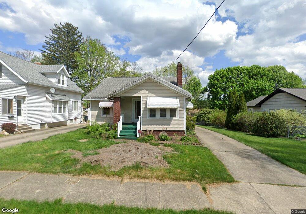
495 Wirth Ave Akron, OH 44312
Ellet NeighborhoodEstimated Value: $107,000 - $139,000
2
Beds
1
Bath
895
Sq Ft
$138/Sq Ft
Est. Value
About This Home
This home is located at 495 Wirth Ave, Akron, OH 44312 and is currently estimated at $123,883, approximately $138 per square foot. 495 Wirth Ave is a home located in Summit County with nearby schools including Ellet High School, Summit Academy Akron Elementary School, and Hatton Community Learning Center.
Ownership History
Date
Name
Owned For
Owner Type
Purchase Details
Closed on
Mar 15, 2022
Sold by
Buchanan David D
Bought by
Felts Katie L and Buchanan Katie L
Current Estimated Value
Purchase Details
Closed on
Jul 15, 2009
Sold by
Hagarty Karen A
Bought by
Buchanan David D and Buchanan Katie L
Home Financials for this Owner
Home Financials are based on the most recent Mortgage that was taken out on this home.
Original Mortgage
$65,786
Interest Rate
5.32%
Mortgage Type
FHA
Purchase Details
Closed on
Oct 2, 2006
Sold by
Hagarty Karen A and Hagarty Donald J
Bought by
Hagarty Karen A and Karen A Hagarty Trust
Purchase Details
Closed on
Sep 29, 2005
Sold by
Hughes Kenneth H and Hughes Margaret H
Bought by
Hagarty Karen A
Create a Home Valuation Report for This Property
The Home Valuation Report is an in-depth analysis detailing your home's value as well as a comparison with similar homes in the area
Home Values in the Area
Average Home Value in this Area
Purchase History
| Date | Buyer | Sale Price | Title Company |
|---|---|---|---|
| Felts Katie L | -- | None Listed On Document | |
| Buchanan David D | $67,000 | Attorney | |
| Hagarty Karen A | -- | None Available | |
| Hagarty Karen A | -- | -- |
Source: Public Records
Mortgage History
| Date | Status | Borrower | Loan Amount |
|---|---|---|---|
| Previous Owner | Buchanan David D | $65,786 |
Source: Public Records
Tax History
| Year | Tax Paid | Tax Assessment Tax Assessment Total Assessment is a certain percentage of the fair market value that is determined by local assessors to be the total taxable value of land and additions on the property. | Land | Improvement |
|---|---|---|---|---|
| 2025 | $2,041 | $38,410 | $7,361 | $31,049 |
| 2024 | $2,041 | $38,410 | $7,361 | $31,049 |
| 2023 | $2,041 | $38,410 | $7,361 | $31,049 |
| 2022 | $1,891 | $27,882 | $5,296 | $22,586 |
| 2021 | $1,893 | $27,882 | $5,296 | $22,586 |
| 2020 | $1,864 | $27,890 | $5,300 | $22,590 |
| 2019 | $1,511 | $20,330 | $5,300 | $15,030 |
| 2018 | $1,491 | $20,330 | $5,300 | $15,030 |
| 2017 | $1,347 | $20,330 | $5,300 | $15,030 |
| 2016 | $1,348 | $17,960 | $5,300 | $12,660 |
| 2015 | $1,347 | $17,960 | $5,300 | $12,660 |
| 2014 | $1,336 | $17,960 | $5,300 | $12,660 |
| 2013 | $1,442 | $19,900 | $5,300 | $14,600 |
Source: Public Records
Map
Nearby Homes
- 480 Wirth Ave
- 412 Stevenson Ave
- 404 Wirth Ave
- 568 Stevenson Ave
- 2616 Terrace Ave
- 295 High Grove Blvd
- 328 Stull Ave
- 674 Stevenson Ave
- 2511 Ogden Ave
- 2873 Shelburn Ave
- 189 Pocantico Ave
- 2371 Hillstock Ave
- 0 Kreiner Ave
- 479 Junior Ave
- 805 Utica Ave
- 640 Plainfield Rd
- 931 Crestline Dr
- 2380 Delaware Ave
- 410 Columbine Ave
- 961 Crestline Dr