4951 Alvin Sperry Rd Mount Juliet, TN 37122
Estimated Value: $255,000 - $670,000
--
Bed
1
Bath
900
Sq Ft
$435/Sq Ft
Est. Value
About This Home
This home is located at 4951 Alvin Sperry Rd, Mount Juliet, TN 37122 and is currently estimated at $391,769, approximately $435 per square foot. 4951 Alvin Sperry Rd is a home located in Wilson County with nearby schools including Ruby Major Elementary School, Donelson Middle School, and McGavock High School.
Ownership History
Date
Name
Owned For
Owner Type
Purchase Details
Closed on
Oct 7, 2016
Sold by
Finn Glenn Allen and Finn Ladye Elizabeth
Bought by
Rich Ryan L and Rich Shelby E
Current Estimated Value
Home Financials for this Owner
Home Financials are based on the most recent Mortgage that was taken out on this home.
Original Mortgage
$95,000
Outstanding Balance
$76,064
Interest Rate
3.42%
Mortgage Type
New Conventional
Estimated Equity
$315,705
Purchase Details
Closed on
Nov 20, 1998
Sold by
Finn Glenn A
Bought by
Finn Glenn A and Finn Ladye E
Purchase Details
Closed on
Jun 2, 1975
Bought by
Finn Bob A and Finn Beverly
Create a Home Valuation Report for This Property
The Home Valuation Report is an in-depth analysis detailing your home's value as well as a comparison with similar homes in the area
Home Values in the Area
Average Home Value in this Area
Purchase History
| Date | Buyer | Sale Price | Title Company |
|---|---|---|---|
| Rich Ryan L | $100,000 | Legends Title Services Llc | |
| Finn Glenn A | -- | -- | |
| Finn Bob A | -- | -- |
Source: Public Records
Mortgage History
| Date | Status | Borrower | Loan Amount |
|---|---|---|---|
| Open | Rich Ryan L | $95,000 |
Source: Public Records
Tax History Compared to Growth
Tax History
| Year | Tax Paid | Tax Assessment Tax Assessment Total Assessment is a certain percentage of the fair market value that is determined by local assessors to be the total taxable value of land and additions on the property. | Land | Improvement |
|---|---|---|---|---|
| 2024 | $803 | $42,050 | $15,775 | $26,275 |
| 2022 | $803 | $42,050 | $15,775 | $26,275 |
| 2021 | $803 | $42,050 | $15,775 | $26,275 |
| 2020 | $672 | $42,050 | $15,775 | $26,275 |
| 2019 | $672 | $26,675 | $10,425 | $16,250 |
| 2018 | $672 | $26,675 | $10,425 | $16,250 |
| 2017 | $672 | $26,675 | $10,425 | $16,250 |
| 2016 | $672 | $26,675 | $10,425 | $16,250 |
| 2015 | $686 | $26,675 | $10,425 | $16,250 |
| 2014 | $661 | $25,722 | $0 | $0 |
Source: Public Records
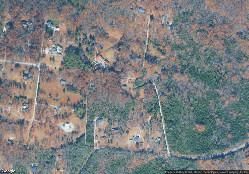
Map
Nearby Homes
- 4701 Hessey Rd
- 1048 Cherry Tree Dr
- 2740 Alvin Sperry Pass
- Wellsley Plan at Ashton Park - 62'
- Leighland Plan at Ashton Park - 62'
- Dahlia Plan at Ashton Park - 62'
- Courtland Plan at Ashton Park - 62'
- 1040 Cherry Tree
- 1001 Cherry Tree Dr
- 1005 Cherry Tree Dr
- 1348 Ashton Park Dr
- 1368 Ashton Park Dr
- Alton Plan at Ashton Park - 55'
- Paisley Plan at Ashton Park - 55'
- Roseland II Plan at Ashton Park - 55'
- Ashland Plan at Ashton Park - 55'
- Oakland Plan at Ashton Park - 55'
- 1324 Ashton Park Dr
- 1316 Ashton Park Dr
- 1317 Ashton Park Dr
- 4955 Alvin Sperry Rd
- 4961 Alvin Sperry Rd
- 4895 Alvin Sperry Rd
- 4957 Alvin Sperry Rd
- 4723 Hessey Rd
- 4907 Alvin Sperry Rd
- 4846 Hessey Rd
- 4915 Alvin Sperry Rd
- 4903 Alvin Sperry Rd
- 4927 Alvin Sperry Rd
- 4720 Hessey Rd
- 4712 Hessey Rd
- 4711 Hessey Rd
- 5003 Alvin Sperry Rd
- 5005 Alvin Sperry Rd
- 4715 Hessey Rd
- 4700 Hessey Rd
- 4857 Alvin Sperry Rd
- 4708 Alvin Sperry Rd
- 4855 Alvin Sperry Rd