4953 Donlar Ave Cincinnati, OH 45238
Central Delhi NeighborhoodEstimated Value: $237,000 - $292,741
3
Beds
3
Baths
1,307
Sq Ft
$197/Sq Ft
Est. Value
About This Home
This home is located at 4953 Donlar Ave, Cincinnati, OH 45238 and is currently estimated at $257,185, approximately $196 per square foot. 4953 Donlar Ave is a home located in Hamilton County with nearby schools including C.O. Harrison Elementary School, Delhi Middle School, and Oak Hills High School.
Ownership History
Date
Name
Owned For
Owner Type
Purchase Details
Closed on
Nov 27, 2024
Sold by
Katt Family Revocable Living Trust and Katt Daniel A
Bought by
Jedding Zachary and Jedding Angela
Current Estimated Value
Home Financials for this Owner
Home Financials are based on the most recent Mortgage that was taken out on this home.
Original Mortgage
$220,400
Outstanding Balance
$218,581
Interest Rate
6.54%
Mortgage Type
New Conventional
Estimated Equity
$38,604
Purchase Details
Closed on
Sep 11, 2004
Sold by
Katt Arthur F and Katt Jean L
Bought by
Katt Arthur F and Katt Jean L
Create a Home Valuation Report for This Property
The Home Valuation Report is an in-depth analysis detailing your home's value as well as a comparison with similar homes in the area
Home Values in the Area
Average Home Value in this Area
Purchase History
| Date | Buyer | Sale Price | Title Company |
|---|---|---|---|
| Jedding Zachary | $232,000 | Mattingly Ford Title | |
| Jedding Zachary | $232,000 | Mattingly Ford Title | |
| Katt Arthur F | -- | -- |
Source: Public Records
Mortgage History
| Date | Status | Borrower | Loan Amount |
|---|---|---|---|
| Open | Jedding Zachary | $220,400 | |
| Closed | Jedding Zachary | $220,400 |
Source: Public Records
Tax History Compared to Growth
Tax History
| Year | Tax Paid | Tax Assessment Tax Assessment Total Assessment is a certain percentage of the fair market value that is determined by local assessors to be the total taxable value of land and additions on the property. | Land | Improvement |
|---|---|---|---|---|
| 2024 | $3,960 | $78,051 | $27,864 | $50,187 |
| 2023 | $4,013 | $78,051 | $27,864 | $50,187 |
| 2022 | $3,217 | $57,828 | $25,848 | $31,980 |
| 2021 | $3,146 | $57,828 | $25,848 | $31,980 |
| 2020 | $3,197 | $57,828 | $25,848 | $31,980 |
| 2019 | $2,979 | $49,851 | $22,281 | $27,570 |
| 2018 | $2,982 | $49,851 | $22,281 | $27,570 |
| 2017 | $2,690 | $49,851 | $22,281 | $27,570 |
| 2016 | $2,439 | $46,116 | $21,168 | $24,948 |
| 2015 | $2,446 | $46,116 | $21,168 | $24,948 |
| 2014 | $2,450 | $46,116 | $21,168 | $24,948 |
| 2013 | $2,455 | $48,542 | $22,281 | $26,261 |
Source: Public Records
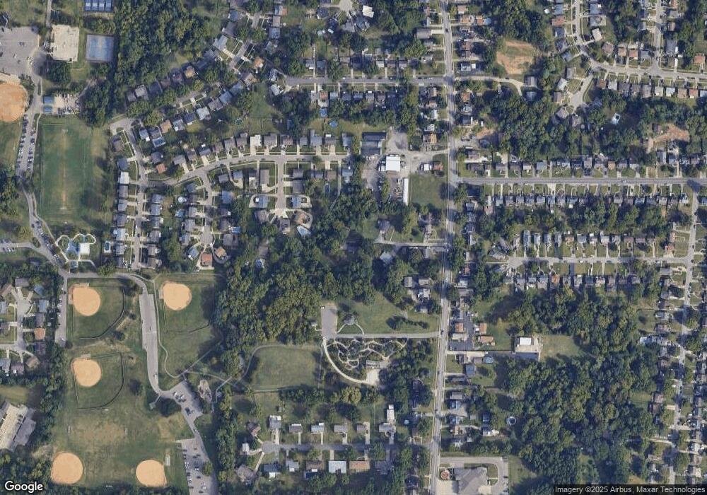
Map
Nearby Homes
- 551 Greenwell Ave
- 575 Greenwell Ave
- 4747 Basil Ln
- 510 Angelnook Dr
- 4667 Shadylawn Terrace
- 5010 Garden Grove Ln
- 5153 Kincardine Dr
- 5086 Garden Grove Ln
- 5140 Old Oak Trail
- 5140 Old Oak Trail Unit 34
- 407 Elm St
- 5199 Foley Rd
- 385 Don Ln
- 5232 Farm House Ln
- 440 Pedretti Ave
- 451 Kitty Ln
- 578 Picuda Ct
- 4511 Carnation Ave
- 4445 Delhi Rd
- 309 Greenwell Ave
- 485 Greenwell Ave
- 487 Greenwell Ave
- 506 Woodhurst Ct
- 510 Woodhurst Ct
- 4949 Donlar Ave
- 483 Greenwell Ave
- 4957 Donlar Ave
- 467 Greenwell Ave
- 502 Woodhurst Ct
- 489 Greenwell Ave
- 477 Greenwell Ave
- 4965 Donlar Ave
- 493 Greenwell Ave
- 514 Woodhurst Ct
- 469 Greenwell Ave
- 501 Woodhurst Ct
- 507 Woodhurst Ct
- 511 Woodhurst Ct
- 517 Woodhurst Ct
- 484 Greenwell Ave