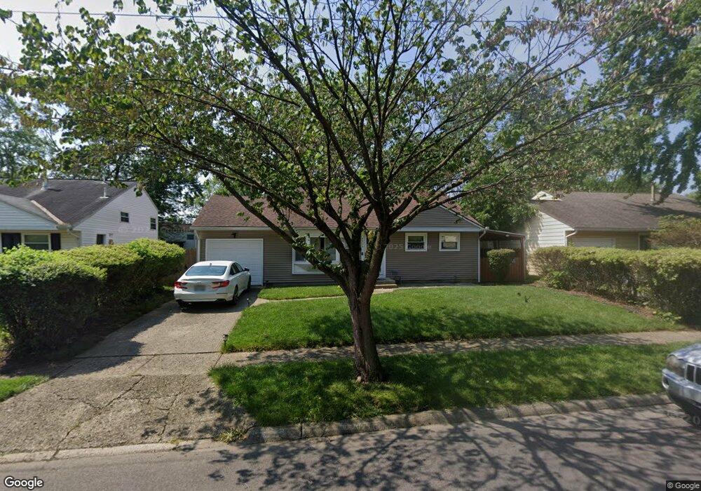
4953 Mcallister Ave Columbus, OH 43227
Shady Lane NeighborhoodEstimated Value: $214,498 - $272,000
3
Beds
2
Baths
1,358
Sq Ft
$177/Sq Ft
Est. Value
About This Home
This home is located at 4953 Mcallister Ave, Columbus, OH 43227 and is currently estimated at $240,375, approximately $177 per square foot. 4953 Mcallister Ave is a home located in Franklin County with nearby schools including Shady Lane Elementary School, Sherwood Middle School, and Walnut Ridge High School.
Ownership History
Date
Name
Owned For
Owner Type
Purchase Details
Closed on
May 29, 2002
Sold by
Talerico Mary E and Talerico Mary Elizabeth
Bought by
Powell Falicia N
Current Estimated Value
Home Financials for this Owner
Home Financials are based on the most recent Mortgage that was taken out on this home.
Original Mortgage
$102,146
Outstanding Balance
$43,373
Interest Rate
6.87%
Mortgage Type
FHA
Estimated Equity
$197,002
Purchase Details
Closed on
Aug 11, 1986
Bought by
Talerico Mary E
Create a Home Valuation Report for This Property
The Home Valuation Report is an in-depth analysis detailing your home's value as well as a comparison with similar homes in the area
Home Values in the Area
Average Home Value in this Area
Purchase History
| Date | Buyer | Sale Price | Title Company |
|---|---|---|---|
| Powell Falicia N | $103,800 | Lawyers Title | |
| Talerico Mary E | -- | -- |
Source: Public Records
Mortgage History
| Date | Status | Borrower | Loan Amount |
|---|---|---|---|
| Open | Powell Falicia N | $102,146 |
Source: Public Records
Tax History Compared to Growth
Tax History
| Year | Tax Paid | Tax Assessment Tax Assessment Total Assessment is a certain percentage of the fair market value that is determined by local assessors to be the total taxable value of land and additions on the property. | Land | Improvement |
|---|---|---|---|---|
| 2024 | $2,906 | $64,760 | $16,140 | $48,620 |
| 2023 | $2,869 | $64,750 | $16,135 | $48,615 |
| 2022 | $1,754 | $33,820 | $6,060 | $27,760 |
| 2021 | $1,757 | $33,820 | $6,060 | $27,760 |
| 2020 | $1,759 | $33,820 | $6,060 | $27,760 |
| 2019 | $1,669 | $27,510 | $4,830 | $22,680 |
| 2018 | $1,574 | $27,510 | $4,830 | $22,680 |
| 2017 | $1,668 | $27,510 | $4,830 | $22,680 |
| 2016 | $1,633 | $24,650 | $5,010 | $19,640 |
| 2015 | $1,482 | $24,650 | $5,010 | $19,640 |
| 2014 | $1,486 | $24,650 | $5,010 | $19,640 |
| 2013 | $862 | $28,980 | $5,880 | $23,100 |
Source: Public Records
Map
Nearby Homes
- 4991 Justin Rd
- 1130 Little Plum Ln
- 1320 Nancy Ln
- 931 Antwerp Rd
- 1120 Fairway Blvd
- 1486 Efner Dr
- 855 Dimson Dr E
- 1085 S Hamilton Rd
- 4677 E Livingston Ave
- 4501 Amesbury Rd
- 1281 Maetzel Dr
- 4662 Jae Ave
- 4484 Grimsby Rd
- 4467 Grimsby Rd
- 4571 Aragon Ave
- 1616 Coppertree Rd Unit 1615
- 1607 Shady Lane Rd
- 4701 Janis Dr
- 4653 Kae Ave
- 1563 Genoa Place
- 4945 Mcallister Ave
- 4961 Mcallister Ave
- 1179 Manfeld Dr
- 4937 Mcallister Ave
- 4969 Mcallister Ave
- 1181 Manfeld Dr
- 1177 Manfeld Dr
- 4958 Mcallister Ave
- 4950 Mcallister Ave
- 1175 Manfeld Dr
- 4929 Mcallister Ave
- 4977 Mcallister Ave
- 4966 Mcallister Ave
- 4942 Mcallister Ave
- 4974 Mcallister Ave
- 4934 Mcallister Ave
- 1173 Manfeld Dr
- 4921 Mcallister Ave
- 1185 Manfeld Dr
- 4985 Mcallister Ave