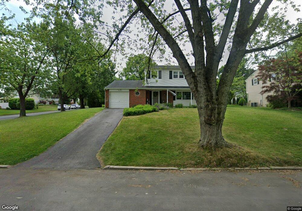
4958 Cypress St Allentown, PA 18106
Estimated Value: $412,496 - $435,000
4
Beds
3
Baths
1,800
Sq Ft
$235/Sq Ft
Est. Value
About This Home
This home is located at 4958 Cypress St, Allentown, PA 18106 and is currently estimated at $423,374, approximately $235 per square foot. 4958 Cypress St is a home located in Lehigh County with nearby schools including Wescosville Elementary School, Lower Macungie Middle School, and Emmaus High School.
Ownership History
Date
Name
Owned For
Owner Type
Purchase Details
Closed on
Jul 30, 2009
Sold by
Mudrick Jean Marie
Bought by
James Daniel
Current Estimated Value
Home Financials for this Owner
Home Financials are based on the most recent Mortgage that was taken out on this home.
Original Mortgage
$214,700
Outstanding Balance
$141,053
Interest Rate
5.36%
Mortgage Type
Purchase Money Mortgage
Estimated Equity
$282,321
Create a Home Valuation Report for This Property
The Home Valuation Report is an in-depth analysis detailing your home's value as well as a comparison with similar homes in the area
Home Values in the Area
Average Home Value in this Area
Purchase History
| Date | Buyer | Sale Price | Title Company |
|---|---|---|---|
| James Daniel | $226,000 | -- |
Source: Public Records
Mortgage History
| Date | Status | Borrower | Loan Amount |
|---|---|---|---|
| Open | James Daniel | $214,700 |
Source: Public Records
Tax History Compared to Growth
Tax History
| Year | Tax Paid | Tax Assessment Tax Assessment Total Assessment is a certain percentage of the fair market value that is determined by local assessors to be the total taxable value of land and additions on the property. | Land | Improvement |
|---|---|---|---|---|
| 2025 | $5,017 | $196,500 | $30,800 | $165,700 |
| 2024 | $4,854 | $196,500 | $30,800 | $165,700 |
| 2023 | $4,757 | $196,500 | $30,800 | $165,700 |
| 2022 | $4,644 | $196,500 | $165,700 | $30,800 |
| 2021 | $4,545 | $196,500 | $30,800 | $165,700 |
| 2020 | $4,502 | $196,500 | $30,800 | $165,700 |
| 2019 | $4,425 | $196,500 | $30,800 | $165,700 |
| 2018 | $4,367 | $196,500 | $30,800 | $165,700 |
| 2017 | $4,291 | $196,500 | $30,800 | $165,700 |
| 2016 | -- | $196,500 | $30,800 | $165,700 |
| 2015 | -- | $196,500 | $30,800 | $165,700 |
| 2014 | -- | $196,500 | $30,800 | $165,700 |
Source: Public Records
Map
Nearby Homes
- 4881 Spruce Rd
- 1385 Brookside Rd
- 1270 Minesite Rd
- 4626 N Hedgerow Dr
- 5300 Hanover Dr
- 1045 Barnside Rd
- 997 Village Round Unit K
- 997K Village Round Unit 104K
- 1037 Village Round Unit L
- 5133 Meadow Ln
- 5280 Townsquare Dr
- 5475 Hamilton Blvd Unit 7
- 5524 Stonecroft Ln
- 1675 Hamlet Dr
- 5619 Stonecroft Ln
- 5673 Wedge Ln
- 5736 Greens Dr
- 5175 Meadowview Dr
- 1991 Autumn Ridge Rd
- 2173 Brookside Rd
- 4972 Cypress St
- 4905 Hemlock Ct
- 4921 Hemlock Ct
- 4928 Spruce Rd
- 4961 Cypress St
- 4975 Cypress St
- 4877 Spruce Rd
- 4978 Cypress St
- 4937 Hemlock Ct
- 1011 Liberty Ln Unit Suite 122 A,B,C
- 4985 Cypress St
- 4914 Cypress St
- 4865 Hemlock St
- 4902 Spruce Rd
- 5000 Cypress St
- 4917 Cypress St
- 4922 Hemlock Ct
- 4926 Liberty Ln
- 4924 Liberty Ln
- 4951 Hemlock Ct