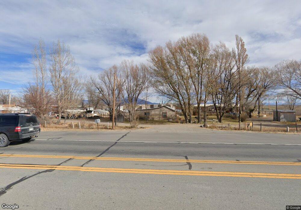
4958 State Highway 17 Alamosa, CO 81101
Estimated Value: $206,000 - $315,000
2
Beds
2
Baths
1,818
Sq Ft
$143/Sq Ft
Est. Value
About This Home
This home is located at 4958 State Highway 17, Alamosa, CO 81101 and is currently estimated at $260,500, approximately $143 per square foot. 4958 State Highway 17 is a home located in Alamosa County with nearby schools including Alamosa Elementary School, Ortega Middle School, and Alamosa High School.
Ownership History
Date
Name
Owned For
Owner Type
Purchase Details
Closed on
Jan 23, 2006
Sold by
Kaka Trust
Bought by
Hobbs Nick J and Hobbs Karen
Current Estimated Value
Purchase Details
Closed on
May 20, 2005
Sold by
Myers Andrew V and Myers Edwina L
Bought by
Hobbs Nicholas J and Hobbs Karen E
Purchase Details
Closed on
Sep 28, 1992
Sold by
Myers Andrew V and Myers Edwina L
Bought by
K
Purchase Details
Closed on
Dec 12, 1985
Sold by
Myers Karen
Bought by
Myers Andrew
Create a Home Valuation Report for This Property
The Home Valuation Report is an in-depth analysis detailing your home's value as well as a comparison with similar homes in the area
Home Values in the Area
Average Home Value in this Area
Purchase History
| Date | Buyer | Sale Price | Title Company |
|---|---|---|---|
| Hobbs Nick J | -- | None Available | |
| Hobbs Nicholas J | -- | None Available | |
| K | -- | -- | |
| Myers Andrew | $14,000 | -- |
Source: Public Records
Tax History Compared to Growth
Tax History
| Year | Tax Paid | Tax Assessment Tax Assessment Total Assessment is a certain percentage of the fair market value that is determined by local assessors to be the total taxable value of land and additions on the property. | Land | Improvement |
|---|---|---|---|---|
| 2024 | $73 | $4,205 | $670 | $3,535 |
| 2023 | $75 | $4,246 | $677 | $3,569 |
| 2022 | $241 | $3,183 | $536 | $2,647 |
| 2021 | $248 | $3,183 | $536 | $2,647 |
| 2020 | $203 | $3,183 | $536 | $2,647 |
| 2019 | $204 | $2,567 | $358 | $2,209 |
| 2018 | $209 | $2,586 | $360 | $2,226 |
| 2017 | $209 | $2,586 | $360 | $2,226 |
| 2016 | $574 | $7,117 | $398 | $6,719 |
| 2015 | $573 | $7,117 | $398 | $6,719 |
| 2014 | -- | $7,449 | $398 | $7,051 |
| 2013 | -- | $7,449 | $398 | $7,051 |
Source: Public Records
Map
Nearby Homes
- TBD County Road 6 S
- 0 McKinney White Pine Unit REC1813333
- TBD Oxbow Loop
- 15 Sunnybrook Place Unit B
- 6755 Trinchera Ln
- 5148 Road 112 S
- 5148 County Road 112 S
- 10 Sunnybrook Place
- 911 Duke Dr
- 6 Bellwood Dr
- 00 E Us Highway 160
- 0 Douglas Dr
- 6 Mountain View Place
- 125 Lots Cottonwoods Phase II
- 735 First St
- 0 Mountain View Blvd Unit 23881373
- 80 El Rio Dr
- 7857 Oxbow Loop
- 808 Weber Dr
- 2611 Park Ave
- 5 MBVR County Road 5 S
- 5341 S Road 5 45
- 9933 Pioneer Way
- 0 Pioneer Way Unit 727521
- 4892 State Highway 17 Unit 25
- 4892 State Highway 17 Unit 18
- 4892 State Highway 17 Unit 23
- 4892 State Highway 17 Unit 20
- 4892 State Highway 17 Unit 14
- 4892 State Highway 17 Unit 19
- 4892 State Highway 17 Unit 16
- 4892 State Highway 17 Unit 4
- 4892 State Highway 17 Unit 26
- 4892 State Highway 17 Unit 5
- 4892 State Highway 17 Unit 22
- 4892 State Highway 17 Unit 1
- 4892 State Highway 17 Unit 24
- 4892 State Highway 17 Unit 27
- 4892 State Highway 17 Unit 13
- 4892 State Highway 17 Unit 21