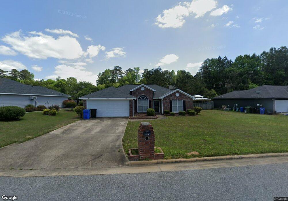
4959 Aaron Dr Columbus, GA 31907
Eastern Columbus NeighborhoodEstimated Value: $209,450 - $229,000
4
Beds
3
Baths
1,711
Sq Ft
$130/Sq Ft
Est. Value
About This Home
This home is located at 4959 Aaron Dr, Columbus, GA 31907 and is currently estimated at $221,863, approximately $129 per square foot. 4959 Aaron Dr is a home located in Muscogee County with nearby schools including Dawson Elementary School, East Columbus Magnet Academy, and Spencer High School.
Ownership History
Date
Name
Owned For
Owner Type
Purchase Details
Closed on
Oct 15, 2007
Sold by
Lewis Jackielyn and Whitfield Jackielyn
Bought by
Willis Jeffery
Current Estimated Value
Home Financials for this Owner
Home Financials are based on the most recent Mortgage that was taken out on this home.
Original Mortgage
$150,900
Outstanding Balance
$95,337
Interest Rate
6.44%
Mortgage Type
Purchase Money Mortgage
Estimated Equity
$126,526
Create a Home Valuation Report for This Property
The Home Valuation Report is an in-depth analysis detailing your home's value as well as a comparison with similar homes in the area
Home Values in the Area
Average Home Value in this Area
Purchase History
| Date | Buyer | Sale Price | Title Company |
|---|---|---|---|
| Willis Jeffery | $150,900 | None Available |
Source: Public Records
Mortgage History
| Date | Status | Borrower | Loan Amount |
|---|---|---|---|
| Open | Willis Jeffery | $150,900 |
Source: Public Records
Tax History Compared to Growth
Tax History
| Year | Tax Paid | Tax Assessment Tax Assessment Total Assessment is a certain percentage of the fair market value that is determined by local assessors to be the total taxable value of land and additions on the property. | Land | Improvement |
|---|---|---|---|---|
| 2025 | $2,056 | $66,680 | $9,476 | $57,204 |
| 2024 | $2,055 | $66,680 | $9,476 | $57,204 |
| 2023 | $1,373 | $66,680 | $9,476 | $57,204 |
| 2022 | $2,143 | $47,060 | $9,476 | $37,584 |
| 2021 | $2,136 | $47,580 | $9,476 | $38,104 |
| 2020 | $2,137 | $47,580 | $9,476 | $38,104 |
| 2019 | $2,145 | $47,580 | $9,476 | $38,104 |
| 2018 | $2,145 | $47,580 | $9,476 | $38,104 |
| 2017 | $2,154 | $47,580 | $9,476 | $38,104 |
| 2016 | $2,163 | $65,702 | $9,600 | $56,102 |
| 2015 | $2,166 | $65,702 | $9,600 | $56,102 |
| 2014 | $2,169 | $65,702 | $9,600 | $56,102 |
| 2013 | -- | $65,702 | $9,600 | $56,102 |
Source: Public Records
Map
Nearby Homes
- 4939 Aaron Dr
- 849 Bunker Hill Rd
- 811 Pheasant Loop
- 4201 Valley Crest Dr
- 5219 Argonne Dr
- 1025 Belmar St
- 4718 Velpoe Dr
- 780 Honey Do Ct
- 4965 Brightstar Ln
- 5336 Gettysburg Way
- 1210 Bunker Hill Rd
- 1513 Alamo Dr
- 4917 Brightstar Ln
- 1225 Rowell St
- 1238 Brandywine Dr
- 4408 Walking Stick Way
- 4462 Walking Stick Way
- 5116 Magazine Ln
- 4422 Debolt Ct
- 59 Apollo Dr