Estimated Value: $214,000 - $1,350,678
Studio
1
Bath
1,410
Sq Ft
$629/Sq Ft
Est. Value
About This Home
This home is located at 4959 Hodges Rd, Dixie, GA 31629 and is currently estimated at $887,226, approximately $629 per square foot. 4959 Hodges Rd is a home located in Brooks County with nearby schools including North Brooks Elementary School.
Ownership History
Date
Name
Owned For
Owner Type
Purchase Details
Closed on
Sep 1, 2017
Sold by
Faucette Jeffrey M
Bought by
Dowdy Land Co Llc
Current Estimated Value
Purchase Details
Closed on
Jun 1, 2014
Sold by
Faucette Louise M Estate
Bought by
Conservation Use Covenant Recording
Purchase Details
Closed on
Feb 10, 2014
Sold by
Faucette Jeffrey M
Bought by
Faucette Jeffrey M and Kennedy Evanne F
Purchase Details
Closed on
Feb 23, 1998
Sold by
Moore Ernest and Evie Lee T
Bought by
Faucette Louise M and Nellie Frank S
Create a Home Valuation Report for This Property
The Home Valuation Report is an in-depth analysis detailing your home's value as well as a comparison with similar homes in the area
Purchase History
| Date | Buyer | Sale Price | Title Company |
|---|---|---|---|
| Dowdy Land Co Llc | $563,000 | -- | |
| Dowdy Land Co Llc | -- | -- | |
| Conservation Use Covenant Recording | -- | -- | |
| Faucette Jeffrey M | -- | -- | |
| Faucette Louise M | -- | -- |
Source: Public Records
Tax History
| Year | Tax Paid | Tax Assessment Tax Assessment Total Assessment is a certain percentage of the fair market value that is determined by local assessors to be the total taxable value of land and additions on the property. | Land | Improvement |
|---|---|---|---|---|
| 2025 | $2,704 | $336,680 | $309,160 | $27,520 |
| 2024 | $2,660 | $336,680 | $309,160 | $27,520 |
| 2023 | $2,512 | $295,680 | $270,960 | $24,720 |
| 2022 | $2,505 | $276,880 | $258,080 | $18,800 |
| 2021 | $2,349 | $225,800 | $209,480 | $16,320 |
| 2020 | $6,273 | $225,880 | $209,480 | $16,400 |
| 2019 | $2,182 | $200,120 | $184,640 | $15,480 |
| 2018 | $5,948 | $203,640 | $188,160 | $15,480 |
| 2017 | $2,086 | $199,360 | $184,680 | $14,680 |
| 2016 | $2,083 | $199,720 | $184,680 | $15,040 |
| 2015 | -- | $199,560 | $184,680 | $14,880 |
| 2014 | -- | $199,560 | $184,680 | $14,880 |
| 2013 | -- | $199,960 | $184,360 | $15,600 |
Source: Public Records
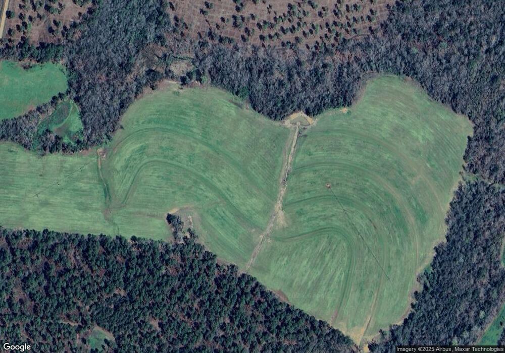
Map
Nearby Homes
- 4497 Howard Rd
- 4265 Howard Rd
- 1038-BA Church St
- 3898 Beaty Rd Unit 4.50
- 9283 Tallokas Rd Unit 54/13
- 9283 Tallokas Rd
- 2195 Coffee Rd
- 581 Harris St
- 7402 Coffee Rd
- 2661 Dewberry Rd
- 1065 W Harris St
- 17077 Georgia 122
- 9900 Ozell Rd
- 1197 Vonier Rd
- 813 Vonier Rd
- 1521 Mount Carmel Chuch Rx
- 2430 Spain Rd
- 2773 Georgia 33
- Dixie Rd
- 0000 0000 Ozell Road (15+ - Acres)
Your Personal Tour Guide
Ask me questions while you tour the home.