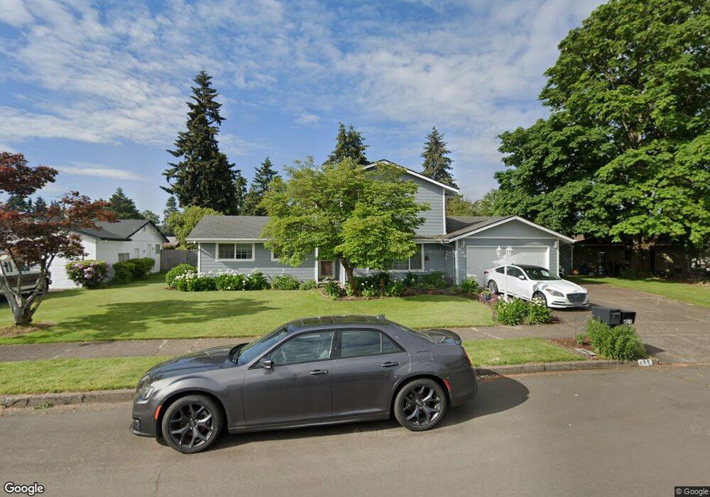
496 Durham Ave Eugene, OR 97404
Santa Clara NeighborhoodEstimated Value: $574,935 - $644,000
4
Beds
4
Baths
2,425
Sq Ft
$255/Sq Ft
Est. Value
About This Home
This home is located at 496 Durham Ave, Eugene, OR 97404 and is currently estimated at $617,734, approximately $254 per square foot. 496 Durham Ave is a home located in Lane County with nearby schools including Spring Creek Elementary School, Madison Middle School, and North Eugene High School.
Ownership History
Date
Name
Owned For
Owner Type
Purchase Details
Closed on
Nov 14, 2003
Sold by
Williams Thomas F and Williams Linda S
Bought by
Bay Kenneth E and Bay Shari L
Current Estimated Value
Home Financials for this Owner
Home Financials are based on the most recent Mortgage that was taken out on this home.
Original Mortgage
$183,920
Outstanding Balance
$82,932
Interest Rate
5.72%
Mortgage Type
Purchase Money Mortgage
Estimated Equity
$534,802
Create a Home Valuation Report for This Property
The Home Valuation Report is an in-depth analysis detailing your home's value as well as a comparison with similar homes in the area
Home Values in the Area
Average Home Value in this Area
Purchase History
| Date | Buyer | Sale Price | Title Company |
|---|---|---|---|
| Bay Kenneth E | $229,900 | Evergreen Land Title Co |
Source: Public Records
Mortgage History
| Date | Status | Borrower | Loan Amount |
|---|---|---|---|
| Open | Bay Kenneth E | $183,920 |
Source: Public Records
Tax History
| Year | Tax Paid | Tax Assessment Tax Assessment Total Assessment is a certain percentage of the fair market value that is determined by local assessors to be the total taxable value of land and additions on the property. | Land | Improvement |
|---|---|---|---|---|
| 2025 | $4,766 | $372,417 | -- | -- |
| 2024 | $4,742 | $361,570 | -- | -- |
| 2023 | $4,742 | $351,039 | $0 | $0 |
| 2022 | $4,457 | $340,815 | $0 | $0 |
| 2021 | $4,089 | $330,889 | $0 | $0 |
| 2020 | $4,113 | $321,252 | $0 | $0 |
| 2019 | $3,929 | $311,896 | $0 | $0 |
| 2018 | $3,585 | $293,992 | $0 | $0 |
| 2017 | $3,306 | $293,992 | $0 | $0 |
| 2016 | $3,166 | $285,429 | $0 | $0 |
| 2015 | $3,030 | $277,116 | $0 | $0 |
| 2014 | $2,869 | $269,045 | $0 | $0 |
Source: Public Records
Map
Nearby Homes
- 2563 York St
- 303 Lenore Loop
- 2721 La Darrah St
- 349 Irving Rd
- 401 Sterling Dr
- 2439 Quince St
- 200 Irving Rd
- 215 Jonquil Ave
- 193 Santa Clara Ave
- 2740 Stark St
- 2937 Stark St
- 1755 Brentwood Ave
- 2488 Northampton
- 2923 Maranta St
- 1880 Manihi Dr
- 835 Bobolink Ave
- 1682 Hemlock St
- 3007 River Rd
- 190 Hunsaker Ln
- 1384 David Ave
- 522 Durham Ave
- 484 Durham Ave
- 481 Heywood Ave
- 467 Heywood Ave
- 495 Heywood Ave
- 485 Durham Ave
- 468 Durham Ave
- 530 Durham Ave
- 499 Durham Ave
- 473 Durham Ave
- 523 Durham Ave
- 511 Heywood Ave
- 453 Heywood Ave
- 536 Durham Ave
- 452 Durham Ave
- 472 Santa Clara Ave
- 488 Santa Clara Ave
- 2472 Hastings St
- 527 Heywood Ave
- 2472 Hasting St
Your Personal Tour Guide
Ask me questions while you tour the home.