496 N Avion Dr Crested Butte, CO 81224
Estimated Value: $511,000 - $597,352
--
Bed
--
Bath
--
Sq Ft
1.25
Acres
About This Home
This home is located at 496 N Avion Dr, Crested Butte, CO 81224 and is currently estimated at $554,176. 496 N Avion Dr is a home located in Gunnison County with nearby schools including Gunnison Elementary School, Crested Butte Community School, and Gunnison Middle School.
Ownership History
Date
Name
Owned For
Owner Type
Purchase Details
Closed on
Sep 5, 2025
Sold by
Mollo Mike
Bought by
Hunter Family Real Estate Ltd
Current Estimated Value
Purchase Details
Closed on
Feb 1, 2022
Sold by
Cb Mountainview Properties Llc
Bought by
Mollo Mike
Create a Home Valuation Report for This Property
The Home Valuation Report is an in-depth analysis detailing your home's value as well as a comparison with similar homes in the area
Home Values in the Area
Average Home Value in this Area
Purchase History
| Date | Buyer | Sale Price | Title Company |
|---|---|---|---|
| Hunter Family Real Estate Ltd | $575,000 | Land Title | |
| Mollo Mike | $566,000 | None Listed On Document |
Source: Public Records
Tax History Compared to Growth
Tax History
| Year | Tax Paid | Tax Assessment Tax Assessment Total Assessment is a certain percentage of the fair market value that is determined by local assessors to be the total taxable value of land and additions on the property. | Land | Improvement |
|---|---|---|---|---|
| 2024 | $9,183 | $148,840 | $148,840 | $0 |
| 2023 | $9,183 | $148,840 | $148,840 | $0 |
| 2022 | $2,962 | $42,400 | $42,400 | $0 |
| 2021 | $2,564 | $42,400 | $42,400 | $0 |
| 2020 | $2,047 | $34,220 | $34,220 | $0 |
| 2019 | $700 | $11,940 | $11,940 | $0 |
| 2018 | $1,022 | $16,690 | $16,690 | $0 |
Source: Public Records
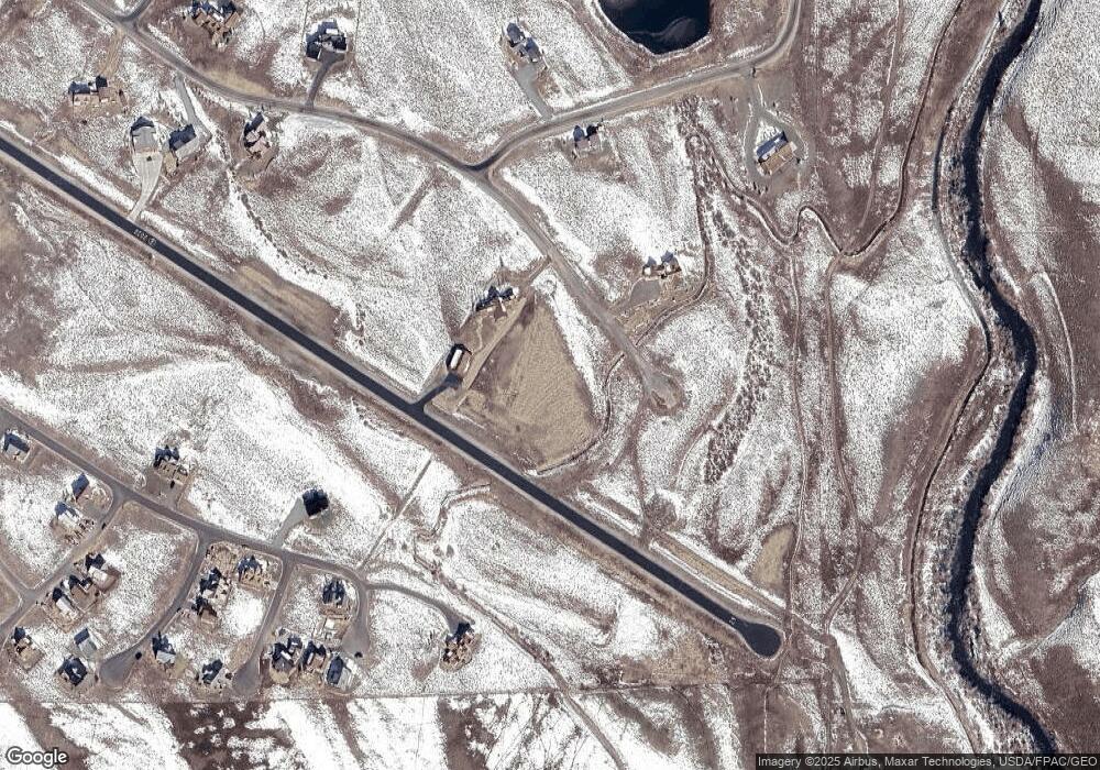
Map
Nearby Homes
- 509 N Avion Dr
- 679 S Avion Dr
- 196 Lake Ridge Dr
- 34 Appaloosa Ln
- 720 S Avion Dr
- 35 Appaloosa Ln
- 527 S Avion Dr
- 56 Bridle Spur Way
- 103 Buckhorn Way
- 84 Chestnut Ln
- 97 Chestnut Ln
- 96 Chestnut Ln
- 77 Coyote Ridge Rd
- 114 Chestnut Ln
- 14 Buckhorn Way
- 64 Buckhorn Way
- 554 White Stallion Cir
- 333 S Avion Dr
- 379 S Avion Dr
- 528 White Stallion Cir
- 496 N Avion Dr
- 472 N Avion Dr
- 0 N Avion Dr Unit 2638
- 540 N Avion Dr
- 448 N Avion Dr
- 424 N Avion Dr
- 563 N Avion Dr
- N Avion Way
- 0 Avion Dr Unit 729505
- 0 Avion Dr Unit 731104
- N Avion Dr Dr
- 537 N Avion Dr
- 396 N Avion Dr
- 70 Ridge Rd
- 651 S Avion Dr
- 368 N Avion Dr
- 102 Lake Dr
- 102 Lake Ridge Dr
- 705 S Avion Dr
- S Avion Way