4961 E Shady Ln Morris, IL 60450
Estimated Value: $484,000 - $745,769
Studio
--
Bath
2,100
Sq Ft
$282/Sq Ft
Est. Value
About This Home
This home is located at 4961 E Shady Ln, Morris, IL 60450 and is currently estimated at $591,692, approximately $281 per square foot. 4961 E Shady Ln is a home with nearby schools including Coal City Elementary School, Coal City Intermediate School, and Coal City Middle School.
Ownership History
Date
Name
Owned For
Owner Type
Purchase Details
Closed on
Dec 2, 2022
Sold by
Picard Brian B and Picard Kimberly J
Bought by
Brian And Kimberly Picard Joint Tenancy Trust and Picard
Current Estimated Value
Purchase Details
Closed on
Jul 27, 2012
Sold by
Sylvia S Sylvia S
Bought by
Picard Brian B and Picard Kimberly J
Create a Home Valuation Report for This Property
The Home Valuation Report is an in-depth analysis detailing your home's value as well as a comparison with similar homes in the area
Home Values in the Area
Average Home Value in this Area
Purchase History
| Date | Buyer | Sale Price | Title Company |
|---|---|---|---|
| Brian And Kimberly Picard Joint Tenancy Trust | -- | None Listed On Document | |
| Picard Brian B | $445,000 | First American Title |
Source: Public Records
Tax History
| Year | Tax Paid | Tax Assessment Tax Assessment Total Assessment is a certain percentage of the fair market value that is determined by local assessors to be the total taxable value of land and additions on the property. | Land | Improvement |
|---|---|---|---|---|
| 2024 | $10,619 | $208,285 | $44,739 | $163,546 |
| 2023 | $9,896 | $194,114 | $41,695 | $152,419 |
| 2022 | $8,789 | $178,397 | $38,319 | $140,078 |
| 2021 | $8,059 | $165,183 | $35,481 | $129,702 |
| 2020 | $7,774 | $158,845 | $34,120 | $124,725 |
| 2019 | $7,277 | $150,279 | $32,280 | $117,999 |
| 2018 | $7,131 | $146,734 | $30,389 | $116,345 |
| 2017 | $6,943 | $142,102 | $29,430 | $112,672 |
| 2016 | $6,365 | $132,164 | $32,722 | $99,442 |
| 2015 | $6,103 | $131,324 | $32,514 | $98,810 |
| 2014 | $5,967 | $129,947 | $32,173 | $97,774 |
| 2013 | -- | $134,660 | $33,340 | $101,320 |
Source: Public Records
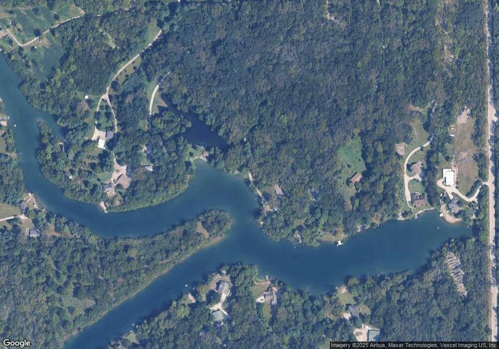
Map
Nearby Homes
- 3420 Cardinal Ln
- 3440 Cardinal Ln
- 5405 Deerfield Dr
- 0 Winterbottom Rd
- 3520 Catfish Ct
- 0 S Prairie Dr
- 0000 Wahoo Ct
- 6035 Northern Dr
- 1065 N Gorman Rd
- 1065 Lot 1 N Gorman Rd
- 1065 Lot 4 N Gorman Rd
- 5180 E Mcardle Rd
- 7750 Pine Bluff Rd
- 1950 E Old Pine Bluff Rd
- Lot 4 Mcardle Rd
- 230 E Big Timber Dr
- 390 N Washington St
- 0000 N Dresden Rd
- 0001 N Dresden Rd
- 420 S Virginia St
- 3285 N Jugtown Rd
- 4855 Shady Ln
- 3280 N Jugtown Rd
- 4785 Shady Ln
- 3320 N Jugtown Rd
- 3140 N Jugtown Rd
- 3330 N Jugtown Rd
- 4675 Shady Ln
- 3170 N Jugtown Rd
- 3030 N Jugtown Rd
- 3470 N Jugtown Rd
- 0000 Shady Ln
- 3340 N Jugtown Rd
- 3460 N Jugtown Rd
- 3150 N Jugtown Rd
- 4595 Shady Ln
- 2970 N Jugtown Rd
- 3580 N Jugtown Rd
- 3350 N Jugtown Rd
- 4800 Shady Ln
Your Personal Tour Guide
Ask me questions while you tour the home.