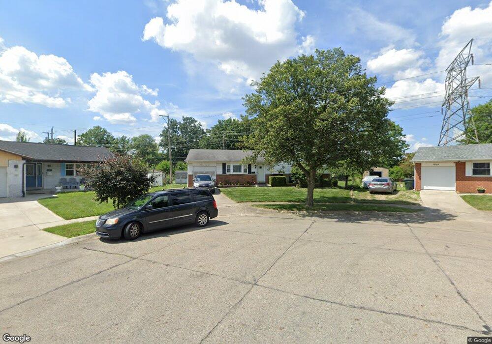
4963 Brittany Ct W Columbus, OH 43229
Forest Park East NeighborhoodEstimated Value: $260,000 - $284,000
4
Beds
2
Baths
1,400
Sq Ft
$196/Sq Ft
Est. Value
About This Home
This home is located at 4963 Brittany Ct W, Columbus, OH 43229 and is currently estimated at $274,225, approximately $195 per square foot. 4963 Brittany Ct W is a home located in Franklin County with nearby schools including Northtowne Elementary School, Woodward Park Middle School, and Northland High School.
Ownership History
Date
Name
Owned For
Owner Type
Purchase Details
Closed on
Mar 31, 2004
Sold by
Rogers Carol
Bought by
Glasco Carole L
Current Estimated Value
Home Financials for this Owner
Home Financials are based on the most recent Mortgage that was taken out on this home.
Original Mortgage
$125,900
Outstanding Balance
$59,247
Interest Rate
5.66%
Mortgage Type
Purchase Money Mortgage
Estimated Equity
$214,978
Purchase Details
Closed on
Mar 8, 2001
Sold by
Estate Of Marlene D Wissman
Bought by
Rogers Carol
Purchase Details
Closed on
May 2, 1984
Bought by
Wissman Marlene D
Create a Home Valuation Report for This Property
The Home Valuation Report is an in-depth analysis detailing your home's value as well as a comparison with similar homes in the area
Home Values in the Area
Average Home Value in this Area
Purchase History
| Date | Buyer | Sale Price | Title Company |
|---|---|---|---|
| Glasco Carole L | $125,900 | Chicago Title | |
| Rogers Carol | -- | -- | |
| Wissman Marlene D | $60,000 | -- |
Source: Public Records
Mortgage History
| Date | Status | Borrower | Loan Amount |
|---|---|---|---|
| Open | Glasco Carole L | $125,900 |
Source: Public Records
Tax History Compared to Growth
Tax History
| Year | Tax Paid | Tax Assessment Tax Assessment Total Assessment is a certain percentage of the fair market value that is determined by local assessors to be the total taxable value of land and additions on the property. | Land | Improvement |
|---|---|---|---|---|
| 2024 | $3,098 | $69,030 | $25,380 | $43,650 |
| 2023 | $3,058 | $69,030 | $25,380 | $43,650 |
| 2022 | $2,258 | $43,540 | $12,040 | $31,500 |
| 2021 | $2,262 | $43,540 | $12,040 | $31,500 |
| 2020 | $2,265 | $43,540 | $12,040 | $31,500 |
| 2019 | $2,100 | $34,620 | $9,630 | $24,990 |
| 2018 | $2,043 | $34,620 | $9,630 | $24,990 |
| 2017 | $2,146 | $34,620 | $9,630 | $24,990 |
| 2016 | $2,193 | $33,110 | $8,470 | $24,640 |
| 2015 | $1,991 | $33,110 | $8,470 | $24,640 |
| 2014 | $1,996 | $33,110 | $8,470 | $24,640 |
| 2013 | $1,037 | $34,860 | $8,925 | $25,935 |
Source: Public Records
Map
Nearby Homes
- 2033 Brittany Rd
- 2058 Northcliff Dr
- 2158 Kilbourne Ave
- 4849 Heatherton Dr
- 5056 Northtowne Blvd Unit 5054
- 2134 Trent Rd
- 4885 Northtowne Blvd
- 2166 Waldorf Rd
- 5124 Northcliff Loop W
- 5204 Honeytree Loop W
- 4714 Ascot Dr
- 1704 Riverbirch Dr
- 2244 Balmoral Rd
- 5022 Sienna Ln
- 2550 Minerva Ave
- 5231 Arrowood Ct
- 4923 Karl Rd Unit 4925
- 4852 Colonel Perry Dr
- 1485 Norma Rd
- 5485 Tamarack Blvd
- 4959 Brittany Ct W
- 4964 Brittany Ct W
- 4953 Brittany Ct W
- 4958 Brittany Ct W
- 4945 Brittany Ct W
- 4952 Brittany Ct W
- 4950 Dunlap Rd
- 1966 Denise Dr
- 1960 Denise Dr
- 1960 Denise Dr Unit L43
- 4944 Brittany Ct W
- 4937 Brittany Ct W
- 4955 Brittany Ct E
- 4944 Dunlap Rd
- 1948 Denise Dr
- 4936 Brittany Ct W
- 4947 Brittany Ct E
- 4929 Brittany Ct W
- 4939 Brittany Ct E
- 4928 Brittany Ct W