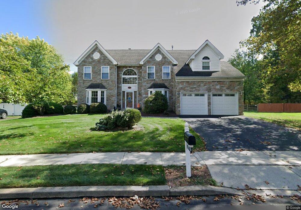
4963 Crosspoint Dr Doylestown, PA 18902
Estimated Value: $842,226 - $919,000
4
Beds
3
Baths
3,300
Sq Ft
$270/Sq Ft
Est. Value
About This Home
This home is located at 4963 Crosspoint Dr, Doylestown, PA 18902 and is currently estimated at $890,307, approximately $269 per square foot. 4963 Crosspoint Dr is a home located in Bucks County with nearby schools including Cold Spring Elementary School, Holicong Middle School, and Central Bucks High School - East.
Ownership History
Date
Name
Owned For
Owner Type
Purchase Details
Closed on
Feb 27, 1995
Sold by
Barnside Development Company Lp
Bought by
Filips John J and Filips Judith P
Current Estimated Value
Home Financials for this Owner
Home Financials are based on the most recent Mortgage that was taken out on this home.
Original Mortgage
$178,000
Interest Rate
9.09%
Create a Home Valuation Report for This Property
The Home Valuation Report is an in-depth analysis detailing your home's value as well as a comparison with similar homes in the area
Home Values in the Area
Average Home Value in this Area
Purchase History
| Date | Buyer | Sale Price | Title Company |
|---|---|---|---|
| Filips John J | $231,470 | -- |
Source: Public Records
Mortgage History
| Date | Status | Borrower | Loan Amount |
|---|---|---|---|
| Closed | Filips John J | $178,000 |
Source: Public Records
Tax History
| Year | Tax Paid | Tax Assessment Tax Assessment Total Assessment is a certain percentage of the fair market value that is determined by local assessors to be the total taxable value of land and additions on the property. | Land | Improvement |
|---|---|---|---|---|
| 2025 | $7,587 | $46,600 | $11,440 | $35,160 |
| 2024 | $7,587 | $46,600 | $11,440 | $35,160 |
| 2023 | $7,330 | $46,600 | $11,440 | $35,160 |
| 2022 | $7,242 | $46,600 | $11,440 | $35,160 |
| 2021 | $7,155 | $46,600 | $11,440 | $35,160 |
| 2020 | $7,155 | $46,600 | $11,440 | $35,160 |
| 2019 | $7,109 | $46,600 | $11,440 | $35,160 |
| 2018 | $7,109 | $46,600 | $11,440 | $35,160 |
| 2017 | $7,051 | $46,600 | $11,440 | $35,160 |
| 2016 | $7,120 | $46,600 | $11,440 | $35,160 |
| 2015 | -- | $46,600 | $11,440 | $35,160 |
| 2014 | -- | $46,600 | $11,440 | $35,160 |
Source: Public Records
Map
Nearby Homes
- 3689 Hancock Ln
- 3468 Holicong Rd
- 4925 Redfield Rd
- 3960 S Mallard Ln
- 5491 Long Ln
- 4533 Deep Creek Way
- 3039 Durham Rd
- 6185 Mechanicsville Rd
- 2798 Forge Place
- 2918 Snake Hill Rd
- 3660 Buttonwood Dr
- 4964 Point Pleasant Pike
- 5182 Point Pleasant Pike
- 6680 Point Pleasant Pike
- 5829 Ridgeview Dr
- 5025 Anderson Rd
- 5380 Point Pleasant Pike
- 5805 Ridgeview Dr
- 4525 Deep Glen Way
- 5358 York Rd
- 4953 Crosspoint Dr
- 4973 Crosspoint Dr
- 4958 Crosspoint Dr
- 4968 Crosspoint Dr
- 4956 W Oakview Ct
- 4966 W Oakview Ct
- 4948 Crosspoint Dr
- 4972 W Oakview Ct
- 4975 Melissa Ct
- 4980 W Oakview Ct
- 3711 Daystar Dr
- 4963 Melissa Ct
- 3721 Daystar Dr
- 3701 Daystar Dr
- 3731 Daystar Dr
- 4940 Crosspoint Dr
- 4965 W Oakview Ct
- 4973 W Oakview Ct
- 4969 Melissa Ct
- 4957 W Oakview Ct
Your Personal Tour Guide
Ask me questions while you tour the home.