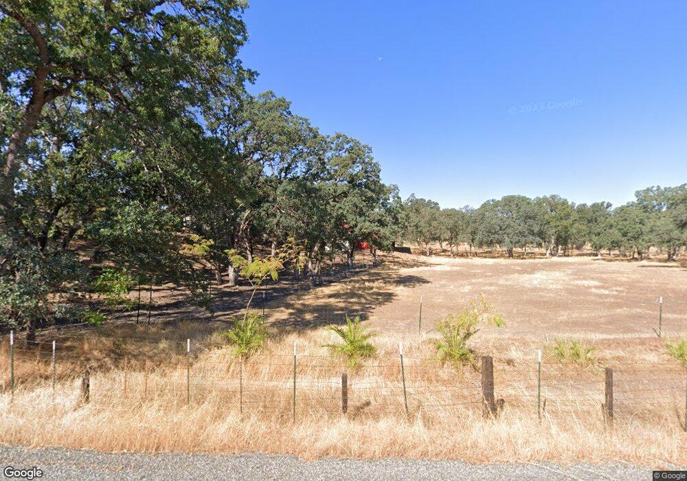
4965 Boggs-Champlin Rd Corning, CA 96021
Estimated Value: $152,000 - $575,000
About This Home
This home is located at 4965 Boggs-Champlin Rd, Corning, CA 96021 and is currently estimated at $395,582, approximately $343 per square foot. 4965 Boggs-Champlin Rd is a home located in Tehama County with nearby schools including Flournoy Elementary School and Corning High School.
Ownership History
We collect this data history from publicly available records. To have your information removed, we recommend requesting removal directly through your county’s website.
Purchase Details
Purchase Details
Home Financials for this Owner
Home Financials are based on the most recent Mortgage that was taken out on this home.Purchase Details
Purchase Details
Home Financials for this Owner
Home Financials are based on the most recent Mortgage that was taken out on this home.Purchase Details
Home Financials for this Owner
Home Financials are based on the most recent Mortgage that was taken out on this home.Purchase History
We collect this data history from publicly available records. To have your information removed, we recommend requesting removal directly through your county’s website.
| Date | Buyer | Sale Price | Title Company |
|---|---|---|---|
| $249,000 | Fidelity Natl Title Co Of Ca | ||
| $385,000 | Placer Title Company | ||
| $225,000 | Northern California Title Co | ||
| $125,000 | Northern California Title Co | ||
| -- | Fidelity National Title Co |
Mortgage History
We collect this data history from publicly available records. To have your information removed, we recommend requesting removal directly through your county’s website.
| Date | Status | Borrower | Loan Amount |
|---|---|---|---|
| Previous Owner | $175,000 | ||
| Previous Owner | $106,000 | ||
| Previous Owner | $82,000 |
Tax History
We collect this data history from publicly available records. To have your information removed, we recommend requesting removal directly through your county’s website.
| Year | Tax Paid | Tax Assessment Tax Assessment Total Assessment is a certain percentage of the fair market value that is determined by local assessors to be the total taxable value of land and additions on the property. | Land | Improvement |
|---|---|---|---|---|
| 2025 | $1,407 | $144,042 | $40,782 | $103,260 |
| 2023 | $1,384 | $137,915 | $38,664 | $99,251 |
| 2022 | $1,373 | $135,374 | $38,069 | $97,305 |
| 2021 | $1,330 | $132,927 | $37,529 | $95,398 |
| 2020 | $1,333 | $131,266 | $36,846 | $94,420 |
| 2019 | $1,356 | $128,457 | $35,888 | $92,569 |
| 2018 | $1,344 | $126,060 | $35,306 | $90,754 |
| 2017 | $1,326 | $123,086 | $34,111 | $88,975 |
| 2016 | $1,239 | $120,053 | $32,822 | $87,231 |
| 2015 | $1,217 | $118,086 | $32,165 | $85,921 |
| 2014 | $1,198 | $115,646 | $31,408 | $84,238 |
Map
- 5475 Rachelle Way
- 16065 Paskenta Rd
- 4250 Osborn Rd Unit Osborn Road
- 4250 Osborn Rd
- 4210 Osborn Rd
- 5535 Janine Way
- 17087 Laramie Point
- 6915 Remunda Rd
- 16368 Lariat Loop
- 16164 Nugget Rd
- 6960 Cougar Dr
- 16298 Lariat Loop
- 16298 Lariat Loop Unit Lot 127
- 6917 Earpe Ct
- 7095 Cougar Dr Unit Lot 630
- 7095 Cougar Dr
- 16438 Longhorn Ln
- 6962 Roundup Dr
- 7030 Oxyoke Bend
- 16318 Longhorn Ln
Ask me questions while you tour the home.