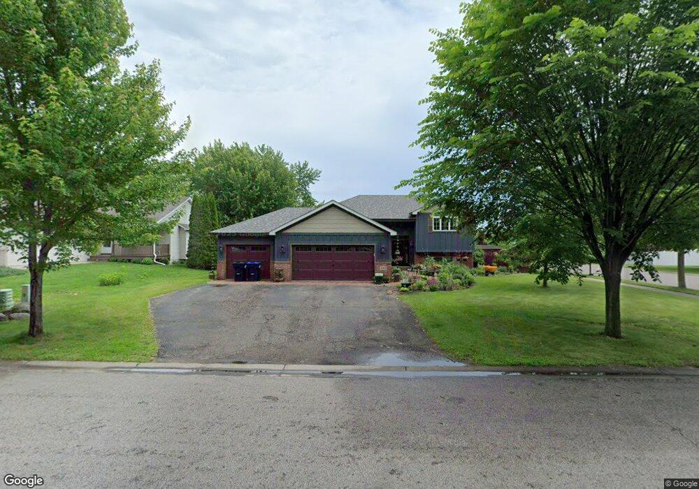
4965 Park Dr Monticello, MN 55362
Estimated Value: $348,000 - $369,000
4
Beds
2
Baths
1,072
Sq Ft
$334/Sq Ft
Est. Value
About This Home
This home is located at 4965 Park Dr, Monticello, MN 55362 and is currently estimated at $358,423, approximately $334 per square foot. 4965 Park Dr is a home located in Wright County with nearby schools including Little Mountain Elementary School, Monticello Middle School, and Monticello Senior High School.
Ownership History
Date
Name
Owned For
Owner Type
Purchase Details
Closed on
May 13, 2016
Sold by
Brooks Matthew P and Brooks Michelle L
Bought by
Ropal Kenneth and Caspers Catherine
Current Estimated Value
Purchase Details
Closed on
Jun 19, 2006
Sold by
Fischbach Dale A and Fischbach Kelli A
Bought by
Brooks Matthew P and Brooks Michelle L
Purchase Details
Closed on
Jun 21, 2002
Sold by
D Klein Construction Inc
Bought by
Fischbach Dale A and Fischbach Kelli A
Create a Home Valuation Report for This Property
The Home Valuation Report is an in-depth analysis detailing your home's value as well as a comparison with similar homes in the area
Home Values in the Area
Average Home Value in this Area
Purchase History
| Date | Buyer | Sale Price | Title Company |
|---|---|---|---|
| Ropal Kenneth | $225,000 | Title Recording Services Inc | |
| Brooks Matthew P | $218,000 | -- | |
| Fischbach Dale A | $174,000 | -- |
Source: Public Records
Tax History Compared to Growth
Tax History
| Year | Tax Paid | Tax Assessment Tax Assessment Total Assessment is a certain percentage of the fair market value that is determined by local assessors to be the total taxable value of land and additions on the property. | Land | Improvement |
|---|---|---|---|---|
| 2025 | $3,268 | $333,400 | $95,000 | $238,400 |
| 2024 | $3,242 | $324,500 | $95,000 | $229,500 |
| 2023 | $3,030 | $328,100 | $95,000 | $233,100 |
| 2022 | $2,680 | $295,800 | $85,000 | $210,800 |
| 2021 | $2,582 | $246,000 | $55,000 | $191,000 |
| 2020 | $2,546 | $237,000 | $55,000 | $182,000 |
| 2019 | $2,388 | $232,800 | $0 | $0 |
| 2018 | $2,062 | $198,100 | $0 | $0 |
| 2017 | $1,900 | $184,500 | $0 | $0 |
| 2016 | $2,730 | $0 | $0 | $0 |
| 2015 | $2,532 | $0 | $0 | $0 |
| 2014 | -- | $0 | $0 | $0 |
Source: Public Records
Map
Nearby Homes
- Vanderbilt Plan at Haven Ridge
- Courtland Plan at Haven Ridge
- Courtland ii Plan at Haven Ridge
- at Haven Ridge
- at Haven Ridge
- Walker Plan at Haven Ridge
- Springfield Plan at Haven Ridge
- Emily Plan at Haven Ridge
- at Haven Ridge
- Bristol Plan at Haven Ridge
- at Haven Ridge
- at Haven Ridge
- 5170 87th St NE
- 8420 Farmstead Cir NE
- XXX Edmonson Ave NE
- 9033 Orchard Cir
- 8420 Farmstead Ave NE
- 4526 86th St NE
- The Brookview Plan at Edmonson Ridge
- The Augusta Villa Plan at Edmonson Ridge
- 4963 Park Dr
- 8846 Farmstead Ave
- 8838 Farmstead Ct
- 4961 Park Dr
- 4946 Park Dr
- 8839 Farmstead Ct
- 8848 Farmstead Ave
- 8830 Farmstead Ave
- 8822 Farmstead Ct
- 4959 Park Dr
- 4930 Park Dr
- 8827 Farmstead Ave
- 8823 Farmstead Ct
- 8828 Farmstead Ave
- 8849 Farmstead Ave
- 4955 Park Dr
- 8850 Farmstead Ave
- 8808 Farmstead Ct
- 4916 Park Dr
- 8809 Farmstead Ct