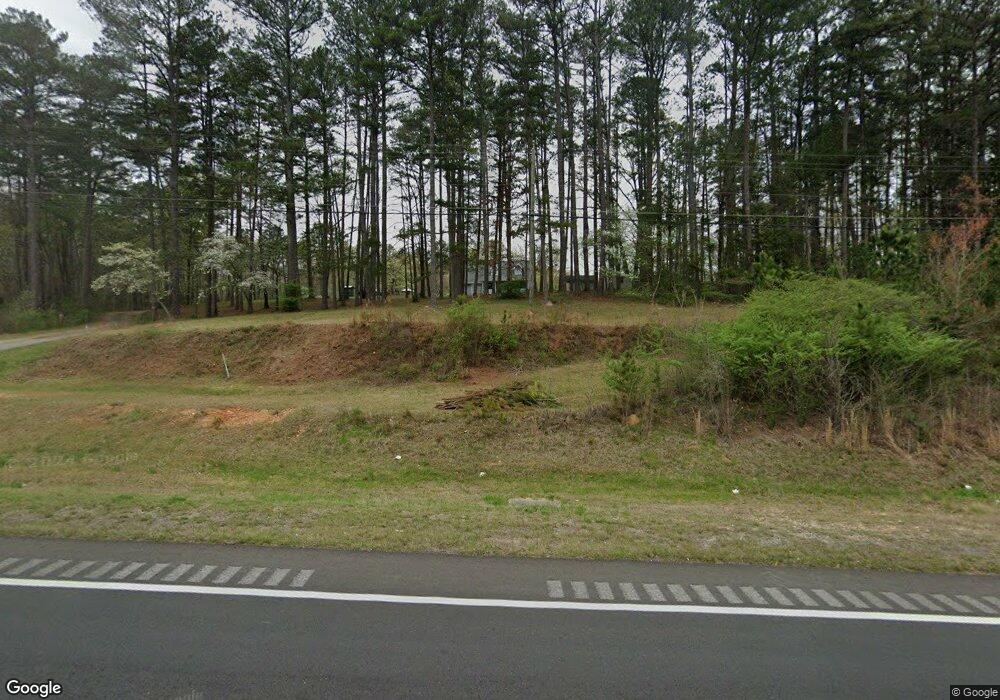
4966 Cedartown Hwy SW Lindale, GA 30147
Estimated Value: $287,000 - $348,382
--
Bed
--
Bath
1,944
Sq Ft
$163/Sq Ft
Est. Value
About This Home
This home is located at 4966 Cedartown Hwy SW, Lindale, GA 30147 and is currently estimated at $317,461, approximately $163 per square foot. 4966 Cedartown Hwy SW is a home located in Floyd County with nearby schools including Pepperell Middle School and Pepperell High School.
Ownership History
Date
Name
Owned For
Owner Type
Purchase Details
Closed on
Aug 2, 1980
Sold by
Smallwood Michael
Bought by
Simms Joe Robert and Janice Faye
Current Estimated Value
Purchase Details
Closed on
Aug 9, 1979
Sold by
Marion J B Exec Of Mrs J B Marion Est
Bought by
Smallwood Michael
Purchase Details
Closed on
Apr 3, 1979
Sold by
Beard Patricia R
Bought by
Marion J B Exec Of Mrs J B Marion Est
Purchase Details
Closed on
Dec 8, 1976
Sold by
Beard Ned
Bought by
Beard Patricia R
Purchase Details
Closed on
Jan 9, 1976
Sold by
Marion Mrs J B
Bought by
Beard Ned
Purchase Details
Closed on
Aug 30, 1975
Sold by
Ronhamles Enterprises Inc
Bought by
Marion Mrs J B
Purchase Details
Closed on
May 20, 1974
Bought by
Ronhamles Enterprises Inc
Create a Home Valuation Report for This Property
The Home Valuation Report is an in-depth analysis detailing your home's value as well as a comparison with similar homes in the area
Home Values in the Area
Average Home Value in this Area
Purchase History
| Date | Buyer | Sale Price | Title Company |
|---|---|---|---|
| Simms Joe Robert | $11,000 | -- | |
| Smallwood Michael | $9,900 | -- | |
| Marion J B Exec Of Mrs J B Marion Est | -- | -- | |
| Beard Patricia R | $8,000 | -- | |
| Beard Ned | -- | -- | |
| Marion Mrs J B | $8,500 | -- | |
| Ronhamles Enterprises Inc | $9,500 | -- |
Source: Public Records
Tax History Compared to Growth
Tax History
| Year | Tax Paid | Tax Assessment Tax Assessment Total Assessment is a certain percentage of the fair market value that is determined by local assessors to be the total taxable value of land and additions on the property. | Land | Improvement |
|---|---|---|---|---|
| 2024 | $2,278 | $134,797 | $31,771 | $103,026 |
| 2023 | $1,671 | $129,190 | $28,883 | $100,307 |
| 2022 | $1,804 | $105,960 | $23,920 | $82,040 |
| 2021 | $1,374 | $81,332 | $21,959 | $59,373 |
| 2020 | $1,266 | $75,711 | $19,095 | $56,616 |
| 2019 | $1,195 | $72,919 | $19,095 | $53,824 |
| 2018 | $1,121 | $69,044 | $18,189 | $50,855 |
| 2017 | $1,029 | $64,403 | $16,842 | $47,561 |
| 2016 | $952 | $59,569 | $16,840 | $42,729 |
| 2015 | $911 | $59,569 | $16,840 | $42,729 |
| 2014 | $911 | $59,569 | $16,840 | $42,729 |
Source: Public Records
Map
Nearby Homes
- 0 Booger Hollow Rd SW Unit 17969096
- 0 Booger Hollow Rd
- 34 + - Acres On Pullen Rd
- 0 Pullen Rd SE Unit LotWP003 24764379
- 110 Mulberry Ln
- 120 Mulberry Ln
- 185 Marion Dairy Rd SE
- 1250 Adams Rd
- 573 Relay Rd SE
- 514 Booze Mountain Rd SE
- 1380 Old Cedartown Rd SE
- 5165 Cave Spring Rd SW
- 184 Conns Lake Extension
- 3667 Cave Spring Rd SW
- 81 Hughes Dairy Rd
- 850 Bethel Church Rd SE
- 4365 Cave Spring Rd SW
- 900 Chubb Rd
- 0 Puckett Rd Unit 7636069
- 0 Puckett Rd Unit 10588322
- 4894 Cedartown Hwy SW
- 5058 Cedartown Hwy SW
- 56 Shorthorn Rd SE
- 56 Shorthorn Rd SE
- 4868 Cedartown Hwy SW
- 4852 Cedartown Hwy SW
- 29 Shorthorn Rd SE
- 4820 Cedartown Hwy SW
- 5125 Cedartown Hwy SE
- 4800 Cedartown Hwy SW
- 260 Shorthorn Rd SE
- 47 Shorthorn Rd SE
- 4829 Cedartown Hwy SE
- 210 Shorthorn Rd SE
- 210 Shorthorn Rd SE
- 4803 Cedartown Hwy SE
- 4774 Cedartown Hwy SW
- 5134 Cedartown Hwy SW
- 5129 Cedartown Hwy SE
- 4779 Cedartown Hwy SE
