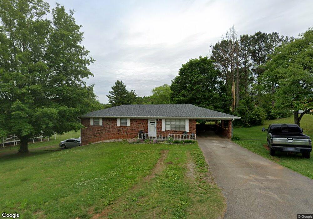
4966 Lori Ln Morristown, TN 37814
Estimated Value: $197,000 - $307,000
--
Bed
2
Baths
1,269
Sq Ft
$193/Sq Ft
Est. Value
About This Home
This home is located at 4966 Lori Ln, Morristown, TN 37814 and is currently estimated at $244,919, approximately $193 per square foot. 4966 Lori Ln is a home located in Hamblen County with nearby schools including Russellville Elementary School, East Ridge Middle School, and Morristown East High School.
Ownership History
Date
Name
Owned For
Owner Type
Purchase Details
Closed on
Jul 12, 2005
Sold by
Cobble Jackie L
Bought by
Johnson Richard A
Current Estimated Value
Home Financials for this Owner
Home Financials are based on the most recent Mortgage that was taken out on this home.
Original Mortgage
$72,000
Outstanding Balance
$37,098
Interest Rate
5.46%
Estimated Equity
$207,821
Purchase Details
Closed on
Feb 3, 2000
Sold by
Henard Sam E and Henard Della G
Bought by
Cobble Jackie L
Purchase Details
Closed on
Jun 20, 1979
Bought by
Henard Sam E and Henard Della G
Create a Home Valuation Report for This Property
The Home Valuation Report is an in-depth analysis detailing your home's value as well as a comparison with similar homes in the area
Home Values in the Area
Average Home Value in this Area
Purchase History
| Date | Buyer | Sale Price | Title Company |
|---|---|---|---|
| Johnson Richard A | $85,000 | -- | |
| Cobble Jackie L | $70,500 | -- | |
| Henard Sam E | $30,000 | -- |
Source: Public Records
Mortgage History
| Date | Status | Borrower | Loan Amount |
|---|---|---|---|
| Open | Henard Sam E | $72,000 |
Source: Public Records
Tax History Compared to Growth
Tax History
| Year | Tax Paid | Tax Assessment Tax Assessment Total Assessment is a certain percentage of the fair market value that is determined by local assessors to be the total taxable value of land and additions on the property. | Land | Improvement |
|---|---|---|---|---|
| 2024 | $597 | $30,325 | $4,300 | $26,025 |
| 2023 | $597 | $30,325 | $0 | $0 |
| 2022 | $597 | $30,325 | $4,300 | $26,025 |
| 2021 | $597 | $30,325 | $4,300 | $26,025 |
| 2020 | $597 | $30,325 | $4,300 | $26,025 |
| 2019 | $565 | $26,525 | $4,075 | $22,450 |
| 2018 | $565 | $26,525 | $4,075 | $22,450 |
| 2017 | $565 | $26,525 | $4,075 | $22,450 |
| 2016 | $528 | $26,525 | $4,075 | $22,450 |
| 2015 | $491 | $26,525 | $4,075 | $22,450 |
| 2014 | -- | $26,525 | $4,075 | $22,450 |
| 2013 | -- | $29,950 | $0 | $0 |
Source: Public Records
Map
Nearby Homes
- 5110 Anne Cir
- 4959 Brights Pike
- 2551 Cedar Creek Rd
- 3800 Dan Dr
- 4119 Azalea Ct
- 4475 Copeland Dr
- 5556 Denton Dr
- 4547 Brights Pike
- 4146 Leslie Dr
- 1708 Boardwalk Cir
- Lot 17 Waters Edge Dr
- 3835 High Oak Dr
- 4801 Harbor Dr
- 5601 Brights Pike
- 5659 Browning Way
- 5085 Old Kentucky Rd
- 4110 Harbor View Dr
- 354 Volunteer Dr