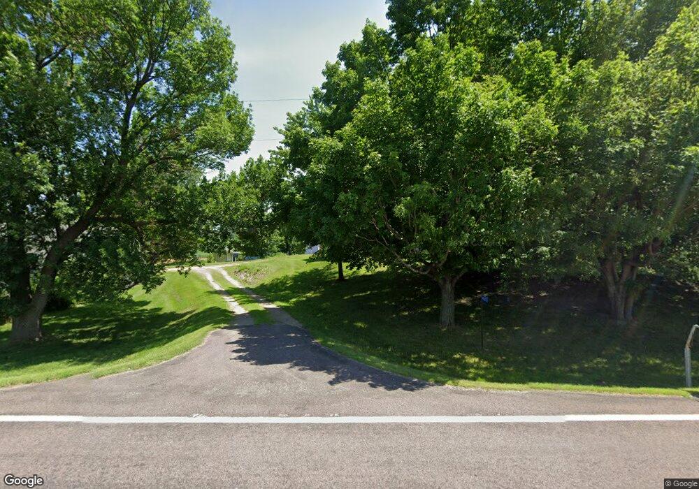
49673 211th Ave Elysian, MN 56028
Estimated Value: $274,000 - $491,000
3
Beds
2
Baths
1,006
Sq Ft
$366/Sq Ft
Est. Value
About This Home
This home is located at 49673 211th Ave, Elysian, MN 56028 and is currently estimated at $368,176, approximately $365 per square foot. 49673 211th Ave is a home located in Le Sueur County with nearby schools including Waterville Elementary School, Morristown Elementary School, and Waterville-Elysian-Morristown Junior High School.
Ownership History
Date
Name
Owned For
Owner Type
Purchase Details
Closed on
Sep 25, 2019
Sold by
Nash Brenda L
Bought by
Quiram Melvin A and Quiram Nancy L
Current Estimated Value
Purchase Details
Closed on
Mar 6, 2015
Sold by
Brenda L Brenda L
Bought by
Nash Brenda L and Nash Revocable Trust Ua 10 10 Brenda L
Purchase Details
Closed on
Feb 19, 2015
Sold by
Brenda L Brenda L and L Nash Revocable Trust Ua 1010 Bredna
Bought by
Nash Brenda L
Purchase Details
Closed on
Oct 10, 2014
Sold by
Brenda L Brenda L
Bought by
Nash Brenda L and Nash Revocable Trust Ua 10 10 Brenda L
Create a Home Valuation Report for This Property
The Home Valuation Report is an in-depth analysis detailing your home's value as well as a comparison with similar homes in the area
Purchase History
| Date | Buyer | Sale Price | Title Company |
|---|---|---|---|
| Quiram Melvin A | $226,000 | -- | |
| Nash Brenda L | -- | -- | |
| Nash Brenda L | -- | -- | |
| Nash Brenda L | -- | -- |
Source: Public Records
Tax History
| Year | Tax Paid | Tax Assessment Tax Assessment Total Assessment is a certain percentage of the fair market value that is determined by local assessors to be the total taxable value of land and additions on the property. | Land | Improvement |
|---|---|---|---|---|
| 2025 | $2,132 | $263,200 | $121,900 | $141,300 |
| 2024 | $2,130 | $259,300 | $121,900 | $137,400 |
| 2023 | $2,100 | $262,500 | $116,900 | $145,600 |
| 2022 | $1,896 | $247,300 | $106,900 | $140,400 |
| 2021 | $2,122 | $196,300 | $91,600 | $104,700 |
| 2020 | $1,648 | $196,300 | $91,600 | $104,700 |
| 2019 | $1,676 | $145,900 | $70,866 | $75,034 |
| 2018 | $1,661 | $141,600 | $70,412 | $71,188 |
| 2017 | $1,183 | $113,600 | $64,844 | $48,756 |
| 2016 | $1,216 | $113,600 | $64,844 | $48,756 |
| 2015 | $1,201 | $113,600 | $64,844 | $48,756 |
| 2014 | $995 | $108,400 | $64,099 | $44,301 |
| 2013 | $1,020 | $108,400 | $64,099 | $44,301 |
Source: Public Records
Map
Nearby Homes
- 125 Willow Point Dr
- 4 Egret Ln
- 20232 Tetonka Lake Rd
- 49279 Sportsmans Ln
- 49189 Sportsmans Ln
- 0 Xx Lewis Ln Unit 7025397
- 0 Xx Lewis Ln Unit 7025381
- xx Lewis Ln
- xxxxxx Lewis Ln
- -XX Jason Dr
- 48901 N Shore Rd
- 0 N Shore Rd
- 24352 474th Ln
- 24352 474 Ln
- 24444 & 24462 Arrowhead Trail
- 0 Arrowhead Trail
- 810 N Shore Dr
- 921 Lillian St
- 46617 Cape Horn Rd
- 46549 Cape Horn Rd
- 49590 211th Ave
- 49861 211th Ave
- 49421 211th Ave
- 49314 211th Ave
- Blk 1 Lot 3 Jaidens Path
- 21645 496th St
- 21354 Steele Lake Ln
- 50313 Elysian Rd
- 1972 N 1st St
- 1953 N 1st St
- 50273 Elysian Rd
- 1 Cedar Point Dr NW
- 1 Cedar Point Ln NW
- 49985 Elysian Rd
- 2 Cedar Point Dr
- 2 Cedar Point Dr NW
- Unit #2 Kaplans Cedar Pointe
- 21527 Wagner Bay Ln
- 20642 490th St
- 20642 490th St
