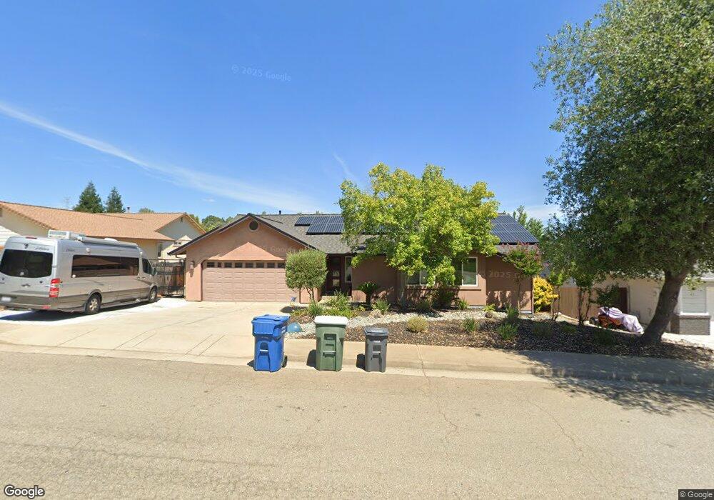
4969 Tralee Ln Redding, CA 96001
Mary Lake NeighborhoodEstimated Value: $364,140 - $457,000
3
Beds
2
Baths
1,513
Sq Ft
$266/Sq Ft
Est. Value
About This Home
This home is located at 4969 Tralee Ln, Redding, CA 96001 and is currently estimated at $402,535, approximately $266 per square foot. 4969 Tralee Ln is a home located in Shasta County with nearby schools including Manzanita Elementary School, Sequoia Middle School, and Shasta High School.
Ownership History
Date
Name
Owned For
Owner Type
Purchase Details
Closed on
May 28, 1998
Sold by
Sue Ward Melinda
Bought by
Green Joshua E and Green Rita M
Current Estimated Value
Home Financials for this Owner
Home Financials are based on the most recent Mortgage that was taken out on this home.
Original Mortgage
$117,700
Outstanding Balance
$23,649
Interest Rate
7.1%
Mortgage Type
Purchase Money Mortgage
Estimated Equity
$378,886
Create a Home Valuation Report for This Property
The Home Valuation Report is an in-depth analysis detailing your home's value as well as a comparison with similar homes in the area
Home Values in the Area
Average Home Value in this Area
Purchase History
| Date | Buyer | Sale Price | Title Company |
|---|---|---|---|
| Green Joshua E | $124,000 | Fidelity National Title Co |
Source: Public Records
Mortgage History
| Date | Status | Borrower | Loan Amount |
|---|---|---|---|
| Open | Green Joshua E | $117,700 |
Source: Public Records
Tax History
| Year | Tax Paid | Tax Assessment Tax Assessment Total Assessment is a certain percentage of the fair market value that is determined by local assessors to be the total taxable value of land and additions on the property. | Land | Improvement |
|---|---|---|---|---|
| 2025 | $2,459 | $243,629 | $44,693 | $198,936 |
| 2024 | $2,420 | $238,853 | $43,817 | $195,036 |
| 2023 | $2,420 | $234,170 | $42,958 | $191,212 |
| 2022 | $2,378 | $229,579 | $42,116 | $187,463 |
| 2021 | $2,365 | $225,079 | $41,291 | $183,788 |
| 2020 | $2,395 | $222,772 | $40,868 | $181,904 |
| 2019 | $2,272 | $218,405 | $40,067 | $178,338 |
| 2018 | $2,291 | $214,124 | $39,282 | $174,842 |
| 2017 | $2,278 | $209,926 | $38,512 | $171,414 |
| 2016 | $2,204 | $205,810 | $37,757 | $168,053 |
| 2015 | $2,175 | $202,719 | $37,190 | $165,529 |
| 2014 | $2,159 | $198,749 | $36,462 | $162,287 |
Source: Public Records
Map
Nearby Homes
- 4519 Nantucket Dr
- 4746 Tralee Ln
- 1974 Kildare Dr
- 1783 Record Ln
- 1756 Mary Lake Dr
- 4395 Carlow Way
- 1846 Kildare Dr
- 4125 Oro St
- 1695 Kildare Dr
- 1692 Kildare Dr
- 4160 Travona Ct
- 4065 Meander Dr
- 1513 Brinn Dr
- 16928 Campo Calle
- 0 Thompson Ln
- 3882 Fujiyama Way
- 4648 Kilkee Dr
- 2242 Everest Dr
- 16520 Blarney Ln
- 1426 Gladstone Ct
- 4975 Tralee Ln
- 4963 Tralee Ln
- 4961 Tralee Ln
- 2243 Wicklow St
- 2235 Wicklow St
- 4979 Tralee Ln
- 4957 Tralee Ln
- 2247 Wicklow St
- 4972 Tralee Ln
- 4966 Tralee Ln
- 2227 Wicklow St
- 4976 Tralee Ln
- 4960 Tralee Ln
- 2255 Wicklow St
- 4985 Tralee Ln
- 4951 Tralee Ln
- 4954 Tralee Ln
- 2219 Wicklow St
- 2263 Wicklow St
- 4991 Tralee Ln
Your Personal Tour Guide
Ask me questions while you tour the home.