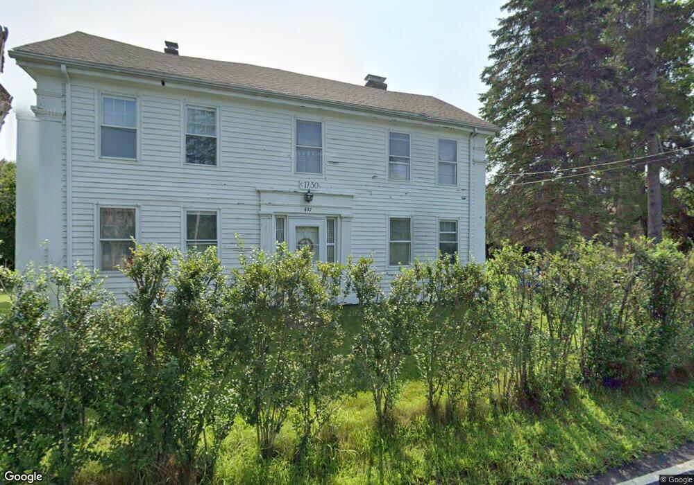
497 Boston Rd Sutton, MA 01590
Estimated Value: $541,068 - $656,000
3
Beds
2
Baths
2,076
Sq Ft
$298/Sq Ft
Est. Value
About This Home
This home is located at 497 Boston Rd, Sutton, MA 01590 and is currently estimated at $618,517, approximately $297 per square foot. 497 Boston Rd is a home located in Worcester County with nearby schools including Sutton Elementary School, Sutton Middle School, and Sutton High School.
Create a Home Valuation Report for This Property
The Home Valuation Report is an in-depth analysis detailing your home's value as well as a comparison with similar homes in the area
Home Values in the Area
Average Home Value in this Area
Tax History
| Year | Tax Paid | Tax Assessment Tax Assessment Total Assessment is a certain percentage of the fair market value that is determined by local assessors to be the total taxable value of land and additions on the property. | Land | Improvement |
|---|---|---|---|---|
| 2025 | $5,343 | $444,500 | $189,500 | $255,000 |
| 2024 | $5,236 | $412,900 | $181,100 | $231,800 |
| 2023 | $5,120 | $369,700 | $164,300 | $205,400 |
| 2022 | $5,377 | $354,200 | $125,300 | $228,900 |
| 2021 | $4,842 | $302,600 | $125,300 | $177,300 |
| 2020 | $4,799 | $302,600 | $125,300 | $177,300 |
| 2019 | $5,073 | $307,100 | $125,300 | $181,800 |
| 2018 | $9,664 | $307,100 | $125,300 | $181,800 |
| 2017 | $4,876 | $295,500 | $110,100 | $185,400 |
| 2016 | $4,929 | $295,500 | $110,100 | $185,400 |
| 2015 | $4,777 | $286,400 | $110,100 | $176,300 |
| 2014 | $4,897 | $290,100 | $115,800 | $174,300 |
Source: Public Records
Map
Nearby Homes
- 354 W Sutton Rd
- 109 Mendon Rd
- 5 Putnam Hill Rd
- 186 8 Lots Rd
- 24 Manchaug Rd
- 5 Hamlets Way
- 31 Central Turnpike
- 51 Central Turnpike
- 266 Putnam Hill Rd
- 198 Uxbridge Rd
- 1 Burbank Rd
- 99 Burbank Rd
- 99 Burbank Road Lot 182
- 303 W Main St
- 37 Sutton Rd
- 7 Tower Hill Rd
- 11 Laurel Dr
- 162 Sutton Ave
- 0 W Main St
- 168 Burbank Rd
Your Personal Tour Guide
Ask me questions while you tour the home.