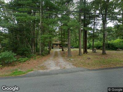
497 Fisher Rd North Dartmouth, MA 02747
Westport NeighborhoodEstimated Value: $436,000 - $544,000
2
Beds
2
Baths
1,029
Sq Ft
$470/Sq Ft
Est. Value
About This Home
This home is located at 497 Fisher Rd, North Dartmouth, MA 02747 and is currently estimated at $483,931, approximately $470 per square foot. 497 Fisher Rd is a home located in Bristol County with nearby schools including Dartmouth High School.
Ownership History
Date
Name
Owned For
Owner Type
Purchase Details
Closed on
May 7, 2018
Sold by
Correia Jean W
Bought by
Correia Jean W and Taylor Melissa L
Current Estimated Value
Purchase Details
Closed on
Aug 26, 1986
Bought by
Correia Charles and Correia Jean W
Create a Home Valuation Report for This Property
The Home Valuation Report is an in-depth analysis detailing your home's value as well as a comparison with similar homes in the area
Home Values in the Area
Average Home Value in this Area
Purchase History
| Date | Buyer | Sale Price | Title Company |
|---|---|---|---|
| Correia Jean W | -- | -- | |
| Correia Charles | -- | -- |
Source: Public Records
Mortgage History
| Date | Status | Borrower | Loan Amount |
|---|---|---|---|
| Open | Correia Jean W | $91,000 | |
| Previous Owner | Correia Charles | $139,000 | |
| Previous Owner | Correia Charles | $165,000 | |
| Previous Owner | Correia Charles | $88,000 |
Source: Public Records
Tax History Compared to Growth
Tax History
| Year | Tax Paid | Tax Assessment Tax Assessment Total Assessment is a certain percentage of the fair market value that is determined by local assessors to be the total taxable value of land and additions on the property. | Land | Improvement |
|---|---|---|---|---|
| 2025 | $3,351 | $363,500 | $180,900 | $182,600 |
| 2024 | $3,224 | $348,200 | $180,900 | $167,300 |
| 2023 | $3,275 | $330,800 | $180,900 | $149,900 |
| 2022 | $3,303 | $307,300 | $180,900 | $126,400 |
| 2021 | $0 | $293,800 | $175,800 | $118,000 |
| 2020 | $3,171 | $283,600 | $174,000 | $109,600 |
| 2019 | $2,613 | $278,000 | $167,000 | $111,000 |
| 2018 | $28,510 | $270,600 | $170,500 | $100,100 |
| 2017 | $28,212 | $255,600 | $157,400 | $98,200 |
| 2016 | $2,506 | $227,400 | $134,300 | $93,100 |
| 2015 | $2,417 | $219,700 | $125,400 | $94,300 |
| 2014 | $2,365 | $214,200 | $122,000 | $92,200 |
Source: Public Records
Map
Nearby Homes
- 597 Fisher Rd
- 426 Pine Hill Rd
- 7 Rileys Way
- 139 Donovans Ln
- 2 Fallon Dr
- 504 Chase Rd
- 392 Slades Corner Rd
- 3 Eliza Ln
- 18 Karen Ln
- 744 Drift Rd
- 0 Hidden Glen Ln
- 332 Division Rd
- 222 Beeden Rd
- 1150 Russells Mills Rd
- 0 Mark Dr
- 768 Russells Mills Rd
- 92 Horseneck Rd
- 98 Horseneck Rd
- 2 Carousel Terrace
- 3 Roller Coaster Way Unit Lot 1
- 497 Fisher Rd
- 501 Fisher Rd
- 493 Fisher Rd
- 519 Fisher Rd
- 500 Fisher Rd
- 516 Fisher Rd
- 19 White Oak Run
- 15 White Oak Run
- 508 Fisher Rd
- 489 Fisher Rd
- 23 White Oak Run
- 27 White Oak Run
- 492 Fisher Rd
- 31 White Oak Run
- 482 Fisher Rd
- 2 Windrush Ln
- 3 Windrush Ln
- 16 White Oak Run
- 541 Fisher Rd
- 35 White Oak Run