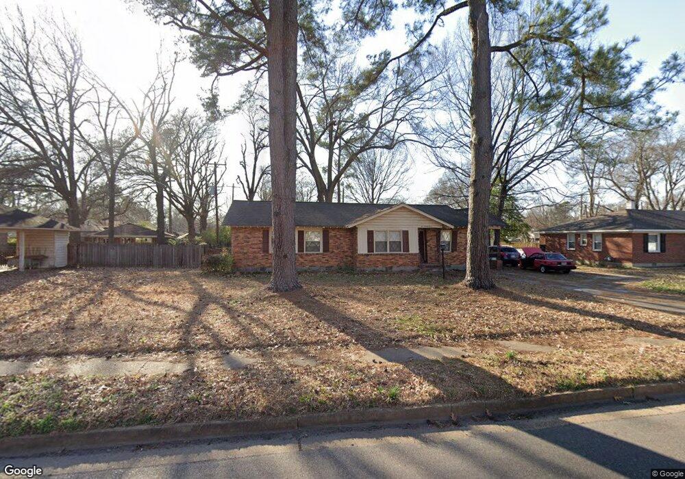
497 N White Station Rd Memphis, TN 38117
Audubon Park NeighborhoodEstimated Value: $253,000 - $290,000
3
Beds
2
Baths
1,557
Sq Ft
$177/Sq Ft
Est. Value
About This Home
This home is located at 497 N White Station Rd, Memphis, TN 38117 and is currently estimated at $276,153, approximately $177 per square foot. 497 N White Station Rd is a home located in Shelby County with nearby schools including Richland Elementary School, White Station Middle, and White Station High.
Ownership History
Date
Name
Owned For
Owner Type
Purchase Details
Closed on
May 5, 2004
Sold by
Reece Sandra I
Bought by
Karpinski David
Current Estimated Value
Purchase Details
Closed on
Nov 30, 2000
Sold by
Howard Sharon A
Bought by
Reece Sandra L
Home Financials for this Owner
Home Financials are based on the most recent Mortgage that was taken out on this home.
Original Mortgage
$124,936
Interest Rate
7.71%
Mortgage Type
FHA
Create a Home Valuation Report for This Property
The Home Valuation Report is an in-depth analysis detailing your home's value as well as a comparison with similar homes in the area
Home Values in the Area
Average Home Value in this Area
Purchase History
| Date | Buyer | Sale Price | Title Company |
|---|---|---|---|
| Karpinski David | -- | Equity Title & Escrow | |
| Reece Sandra L | $125,000 | First American Title Ins Co |
Source: Public Records
Mortgage History
| Date | Status | Borrower | Loan Amount |
|---|---|---|---|
| Previous Owner | Reece Sandra L | $124,936 |
Source: Public Records
Tax History Compared to Growth
Tax History
| Year | Tax Paid | Tax Assessment Tax Assessment Total Assessment is a certain percentage of the fair market value that is determined by local assessors to be the total taxable value of land and additions on the property. | Land | Improvement |
|---|---|---|---|---|
| 2025 | $2,057 | $67,525 | $10,750 | $56,775 |
| 2024 | $2,057 | $60,675 | $10,750 | $49,925 |
| 2023 | $3,696 | $60,675 | $10,750 | $49,925 |
| 2022 | $3,696 | $60,675 | $10,750 | $49,925 |
| 2021 | $3,739 | $60,675 | $10,750 | $49,925 |
| 2020 | $3,471 | $47,900 | $9,100 | $38,800 |
| 2019 | $3,471 | $47,900 | $9,100 | $38,800 |
| 2018 | $3,471 | $47,900 | $9,100 | $38,800 |
| 2017 | $1,969 | $47,900 | $9,100 | $38,800 |
| 2016 | $1,993 | $45,600 | $0 | $0 |
| 2014 | $1,993 | $45,600 | $0 | $0 |
Source: Public Records
Map
Nearby Homes
- 5137 Whitehall Ave
- 529 Fleda Rd
- 448 N White Station Rd
- 551 N White Station Rd
- 5119 Tarrytown Dr
- 446 Rosser Rd
- 496 Chalmers Rd
- 5176 White Cliff Dr
- 5121 Lynbar Ave
- 5033 Henry Heights Dr
- 5017 Henry Heights Dr
- 5009 Henry Heights Dr
- 5238 Peg Ln
- 430 Mcelroy Rd
- 352 Leonora Dr
- 4991 Shifri Ave
- 422 Mcelroy Rd
- 346 Leonora Dr
- 379 Mcelroy Rd
- 580 N Oak Grove Rd
- 505 N White Station Rd
- 5202 Princeton Rd
- 5190 Princeton Rd
- 5179 Tarrytown Dr
- 5173 Tarrytown Dr
- 515 N White Station Rd
- 5182 Princeton Rd
- 490 N White Station Rd
- 500 N White Station Rd
- 482 N White Station Rd
- 506 N White Station Rd
- 5187 Tarrytown Dr
- 5172 Princeton Rd
- 5167 Tarrytown Dr
- 465 N White Station Rd
- 5226 Princeton Road Extension
- 5193 Princeton Rd
- 527 N White Station Rd
- 5164 Princeton Rd
- 5219 Princeton Road Extension