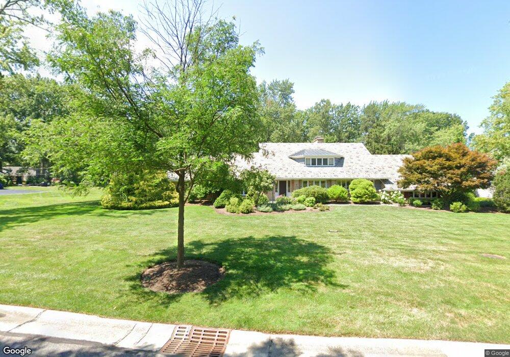
4970 Countryside Rd Cleveland, OH 44124
Estimated Value: $452,000 - $478,126
4
Beds
3
Baths
2,270
Sq Ft
$206/Sq Ft
Est. Value
About This Home
This home is located at 4970 Countryside Rd, Cleveland, OH 44124 and is currently estimated at $468,032, approximately $206 per square foot. 4970 Countryside Rd is a home located in Cuyahoga County with nearby schools including Sunview Elementary School, Greenview Upper Elementary School, and Memorial Junior High School.
Ownership History
Date
Name
Owned For
Owner Type
Purchase Details
Closed on
Sep 29, 2025
Sold by
Macewan Peter D and Macewan Kathleen A
Bought by
Kathleen And Peter Macewan Family Trust and Macewan
Current Estimated Value
Purchase Details
Closed on
Dec 21, 1992
Sold by
Rosichan Howard
Bought by
Macewan Peter D
Purchase Details
Closed on
Jun 27, 1990
Sold by
Negrelli Mark J and Negrelli V
Bought by
Rosichan Howard
Purchase Details
Closed on
Jan 1, 1975
Bought by
Negrelli Mark J and Negrelli Negrelli
Create a Home Valuation Report for This Property
The Home Valuation Report is an in-depth analysis detailing your home's value as well as a comparison with similar homes in the area
Home Values in the Area
Average Home Value in this Area
Purchase History
| Date | Buyer | Sale Price | Title Company |
|---|---|---|---|
| Kathleen And Peter Macewan Family Trust | -- | None Listed On Document | |
| Macewan Peter D | $259,000 | -- | |
| Rosichan Howard | $228,000 | -- | |
| Negrelli Mark J | -- | -- |
Source: Public Records
Tax History Compared to Growth
Tax History
| Year | Tax Paid | Tax Assessment Tax Assessment Total Assessment is a certain percentage of the fair market value that is determined by local assessors to be the total taxable value of land and additions on the property. | Land | Improvement |
|---|---|---|---|---|
| 2024 | $10,419 | $152,740 | $32,095 | $120,645 |
| 2023 | $9,067 | $107,170 | $23,800 | $83,370 |
| 2022 | $9,014 | $107,170 | $23,800 | $83,370 |
| 2021 | $8,935 | $107,170 | $23,800 | $83,370 |
| 2020 | $9,257 | $97,410 | $21,630 | $75,780 |
| 2019 | $8,338 | $278,300 | $61,800 | $216,500 |
| 2018 | $8,293 | $97,410 | $21,630 | $75,780 |
| 2017 | $9,404 | $101,650 | $19,570 | $82,080 |
| 2016 | $9,336 | $101,650 | $19,570 | $82,080 |
| 2015 | $8,668 | $101,650 | $19,570 | $82,080 |
| 2014 | $8,668 | $94,990 | $18,270 | $76,720 |
Source: Public Records
Map
Nearby Homes
- 5027 Bristol Ct
- 5079 Haverford Dr
- 1667 Richmond Rd
- 5144 Oakmont Dr
- 1512 Parkside Cir
- 5159 Haverford Dr
- 1333 Clearview Rd
- 1691 Harwich Rd
- 5103 Eastover Rd
- 5204 Haverford Dr
- 4800 Farnhurst Rd
- 4695 Mayfield Rd Unit A
- 4685 Mayfield Rd Unit F
- 5243 Oakmont Dr
- 1503 Oakmount Rd
- 5227 E Farnhurst Rd
- 1271 Dorsh Rd
- 4866 Fairlawn Rd
- 1368 Irene Rd
- 4650 Liberty Rd
- 4960 Countryside Rd
- 4943 Middledale Rd
- 4976 Countryside Rd
- 4956 Countryside Rd
- 4931 Middledale Rd
- 4971 Countryside Rd
- 4967 Countryside Rd
- 4973 Countryside Rd
- 4948 Countryside Rd
- 4965 Countryside Rd
- 4923 Middledale Rd
- 4977 Countryside Rd
- 4963 Countryside Rd
- 4940 Countryside Rd
- 4956 Middledale Rd
- 4932 Countryside Rd
- 4911 Middledale Rd
- 4955 Countryside Rd
- 4979 Countryside Rd
- 4932 Middledale Rd