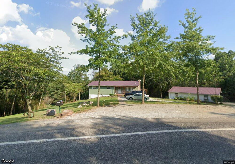
4970 State Route 26 Marietta, OH 45750
Estimated Value: $151,000 - $198,000
3
Beds
1
Bath
1,096
Sq Ft
$157/Sq Ft
Est. Value
About This Home
This home is located at 4970 State Route 26, Marietta, OH 45750 and is currently estimated at $171,667, approximately $156 per square foot. 4970 State Route 26 is a home located in Washington County with nearby schools including Marietta High School.
Ownership History
Date
Name
Owned For
Owner Type
Purchase Details
Closed on
Aug 14, 2023
Sold by
Strickler Beverly J and Strickler Shawn E
Bought by
Strickler Shawn E and Gorham Carol E
Current Estimated Value
Purchase Details
Closed on
Apr 10, 2023
Sold by
Fouss Daniel A
Bought by
Strickler Beverly J and Strickler Shawn F
Purchase Details
Closed on
Apr 3, 2023
Sold by
Strickler Beverly J
Bought by
Fouss Daniel A
Purchase Details
Closed on
Feb 17, 2011
Sold by
Strickler Beverly J
Bought by
Strickler Beverly J and Strickler Shawn E
Purchase Details
Closed on
Sep 22, 2004
Bought by
Strickler Beverly Aka St
Create a Home Valuation Report for This Property
The Home Valuation Report is an in-depth analysis detailing your home's value as well as a comparison with similar homes in the area
Home Values in the Area
Average Home Value in this Area
Purchase History
| Date | Buyer | Sale Price | Title Company |
|---|---|---|---|
| Strickler Shawn E | $125,000 | None Listed On Document | |
| Strickler Shawn E | $125,000 | None Listed On Document | |
| Strickler Beverly J | -- | None Listed On Document | |
| Strickler Beverly J | -- | None Listed On Document | |
| Fouss Daniel A | -- | None Listed On Document | |
| Fouss Daniel A | -- | None Listed On Document | |
| Strickler Beverly J | -- | Attorney | |
| Strickler Beverly Aka St | -- | -- |
Source: Public Records
Tax History Compared to Growth
Tax History
| Year | Tax Paid | Tax Assessment Tax Assessment Total Assessment is a certain percentage of the fair market value that is determined by local assessors to be the total taxable value of land and additions on the property. | Land | Improvement |
|---|---|---|---|---|
| 2024 | $46 | $1,290 | $1,290 | $0 |
| 2023 | $46 | $1,290 | $1,290 | $0 |
| 2022 | $1,508 | $1,290 | $1,290 | $0 |
| 2021 | $1,242 | $42,440 | $12,160 | $30,280 |
| 2020 | $1,248 | $42,440 | $12,160 | $30,280 |
| 2019 | $1,246 | $42,440 | $12,160 | $30,280 |
| 2018 | $1,109 | $37,790 | $10,130 | $27,660 |
| 2017 | $1,106 | $37,790 | $10,130 | $27,660 |
| 2016 | $2,561 | $37,790 | $10,130 | $27,660 |
| 2015 | $1,312 | $32,820 | $9,710 | $23,110 |
| 2014 | $2,228 | $32,820 | $9,710 | $23,110 |
| 2013 | $657 | $32,820 | $9,710 | $23,110 |
Source: Public Records
Map
Nearby Homes
- 4940 State Route 26 Unit 589
- 3205 Ohio 26
- 1320 Caywood Rd
- 470 County House Ln
- 470 & 480 County House Ln
- 169 Morris Loop Rd
- 0 Ohio 26 Unit LotWP001 23010810
- 0 0 State Route 26 Rear Oh
- 149 Rauch Dr
- 1585 County Road 9
- 106 Briargate Dr
- 102 Skyvue Cir
- 904 Pike St
- 902 Pike St
- 145 Cornerstone Dr
- 150 Wells Ave
- 3740 Ohio 26
- 15999 Ohio 26
- 161 Woodland Ave
- 1005 Greene St
- 4940 State Route 26
- 5035 State Route 26
- 5035 State Route 26 Unit PLEAS
- 25 Long Rd
- 11 Morris Rd
- 12 Morris Rd
- 5250 State Route 26
- 40 Morris Rd
- 60 Morris Rd
- 5185 State Route 26
- 105 Long Rd
- 5195 State Route 26
- 5215 State Route 26
- 230 Long Rd
- 170 Long Rd
- 240 Long Rd
- 325 Long Rd
- 5245 State Route 26
- 160 Long Rd
- 320 Long Rd