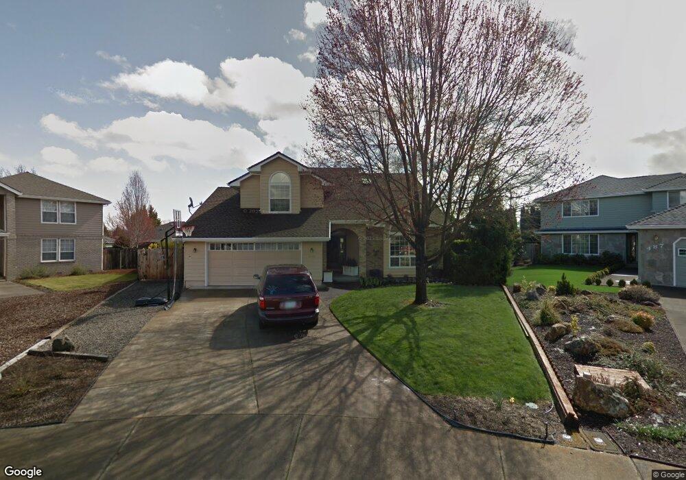
498 Creekside Cir Central Point, OR 97502
Estimated Value: $585,000 - $689,000
4
Beds
3
Baths
2,910
Sq Ft
$214/Sq Ft
Est. Value
About This Home
This home is located at 498 Creekside Cir, Central Point, OR 97502 and is currently estimated at $621,649, approximately $213 per square foot. 498 Creekside Cir is a home located in Jackson County with nearby schools including Richardson Elementary School, Scenic Middle School, and Crater High School.
Ownership History
Date
Name
Owned For
Owner Type
Purchase Details
Closed on
Jun 15, 2005
Sold by
Mcchesney James Glenn and Mcchesney Janet Ellen Cooley
Bought by
Bolen Charles E and Bolen Kimberly S T
Current Estimated Value
Home Financials for this Owner
Home Financials are based on the most recent Mortgage that was taken out on this home.
Original Mortgage
$340,000
Outstanding Balance
$173,626
Interest Rate
5.72%
Mortgage Type
Purchase Money Mortgage
Estimated Equity
$448,023
Purchase Details
Closed on
Apr 11, 2002
Sold by
Tarnawa Thomas A and Tarnawa Sharon A
Bought by
Mcchesney James Glenn and Mcchesney Janet Ellen Cooley
Home Financials for this Owner
Home Financials are based on the most recent Mortgage that was taken out on this home.
Original Mortgage
$180,000
Interest Rate
6.78%
Create a Home Valuation Report for This Property
The Home Valuation Report is an in-depth analysis detailing your home's value as well as a comparison with similar homes in the area
Purchase History
| Date | Buyer | Sale Price | Title Company |
|---|---|---|---|
| Bolen Charles E | $440,000 | Amerititle | |
| Mcchesney James Glenn | $265,000 | Amerititle Inc |
Source: Public Records
Mortgage History
| Date | Status | Borrower | Loan Amount |
|---|---|---|---|
| Open | Bolen Charles E | $340,000 | |
| Previous Owner | Mcchesney James Glenn | $180,000 | |
| Closed | Mcchesney James Glenn | $58,500 |
Source: Public Records
Tax History
| Year | Tax Paid | Tax Assessment Tax Assessment Total Assessment is a certain percentage of the fair market value that is determined by local assessors to be the total taxable value of land and additions on the property. | Land | Improvement |
|---|---|---|---|---|
| 2026 | $6,654 | $401,730 | $146,000 | $255,730 |
| 2025 | $6,491 | $390,410 | $119,280 | $271,130 |
| 2024 | $6,491 | $379,040 | $115,810 | $263,230 |
| 2023 | $6,282 | $368,000 | $112,440 | $255,560 |
| 2022 | $6,135 | $368,000 | $112,440 | $255,560 |
| 2021 | $5,960 | $357,290 | $109,170 | $248,120 |
| 2020 | $5,786 | $346,890 | $105,990 | $240,900 |
| 2019 | $5,644 | $326,990 | $99,910 | $227,080 |
| 2018 | $5,472 | $317,470 | $97,000 | $220,470 |
| 2017 | $5,334 | $317,470 | $97,000 | $220,470 |
| 2016 | $5,178 | $299,260 | $91,430 | $207,830 |
| 2015 | $4,961 | $299,260 | $91,430 | $207,830 |
| 2014 | $4,835 | $282,090 | $86,180 | $195,910 |
Source: Public Records
Map
Nearby Homes
- 209 Corcoran Ln
- 3288 Grant Rd
- 871 Holley Way
- 895 Holley Way
- 349 W Pine St
- 884 Mendolia Way
- 166 Nadine Ln
- 420 Mayberry Ln
- 185 Logan Ave
- 436 Cheney Loop
- 1189 Lindsey Ct
- 404 Silver Creek Dr
- 407 Silver Creek Dr
- 827 Isherwood Dr
- 114 Cedar St
- 3220 Freeland Rd
- 3371 Freeland Rd
- 626 Griffin Oaks Dr
- 3307 Freeland Rd
- 220 S 3rd St
- 487 Creekside Cir
- 486 Creekside Cir
- 274 Vincent Ct
- 270 Vincent Ct
- 462 Creekside Cir
- 276 Vincent Ct
- 268 Vincent Ct
- 449 Creekside Cir Unit 1
- 448 Creekside Cir
- 524 Brandon St
- 501 Vincent Ave
- 500 Brandon St
- 489 Vincent Ave
- 536 Brandon St
- 280 Vincent Ct
- 496 Brandon St
- 264 Vincent Ct
- 558 Brandon St
- 317 Brandon St
- 467 Vincent Ave
Your Personal Tour Guide
Ask me questions while you tour the home.