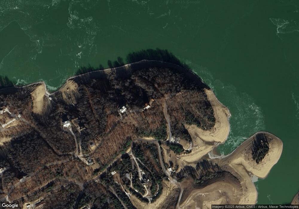
498 Jack Potts Dr Unit 31+7 Dandridge, TN 37725
Estimated Value: $849,000 - $1,192,000
4
Beds
5
Baths
3,888
Sq Ft
$270/Sq Ft
Est. Value
About This Home
This home is located at 498 Jack Potts Dr Unit 31+7, Dandridge, TN 37725 and is currently estimated at $1,049,963, approximately $270 per square foot. 498 Jack Potts Dr Unit 31+7 is a home located in Jefferson County.
Ownership History
Date
Name
Owned For
Owner Type
Purchase Details
Closed on
Aug 28, 2019
Sold by
Gallucci Steven D and Gallucci Lori A
Bought by
Mauro Vincent and Mauro Karen
Current Estimated Value
Home Financials for this Owner
Home Financials are based on the most recent Mortgage that was taken out on this home.
Original Mortgage
$524,000
Outstanding Balance
$460,849
Interest Rate
3.8%
Mortgage Type
New Conventional
Estimated Equity
$589,114
Purchase Details
Closed on
Nov 5, 1997
Bought by
Rogers Gary L & Stacy A Co-Trustees
Purchase Details
Closed on
Feb 26, 1993
Bought by
Potts Jack H and Barton James M
Create a Home Valuation Report for This Property
The Home Valuation Report is an in-depth analysis detailing your home's value as well as a comparison with similar homes in the area
Home Values in the Area
Average Home Value in this Area
Purchase History
| Date | Buyer | Sale Price | Title Company |
|---|---|---|---|
| Mauro Vincent | $655,000 | Heritage Title Agency Inc | |
| Rogers Gary L & Stacy A Co-Trustees | $75,000 | -- | |
| Potts Jack H | -- | -- |
Source: Public Records
Mortgage History
| Date | Status | Borrower | Loan Amount |
|---|---|---|---|
| Open | Mauro Vincent | $524,000 |
Source: Public Records
Tax History Compared to Growth
Tax History
| Year | Tax Paid | Tax Assessment Tax Assessment Total Assessment is a certain percentage of the fair market value that is determined by local assessors to be the total taxable value of land and additions on the property. | Land | Improvement |
|---|---|---|---|---|
| 2025 | $2,767 | $215,675 | $33,750 | $181,925 |
| 2023 | $2,767 | $120,300 | $0 | $0 |
| 2022 | $2,635 | $120,300 | $15,000 | $105,300 |
| 2021 | $2,635 | $120,300 | $15,000 | $105,300 |
| 2020 | $2,635 | $120,300 | $15,000 | $105,300 |
| 2019 | $2,635 | $120,300 | $15,000 | $105,300 |
| 2018 | $2,461 | $104,725 | $12,500 | $92,225 |
| 2017 | $2,461 | $104,725 | $12,500 | $92,225 |
| 2016 | $2,461 | $104,725 | $12,500 | $92,225 |
| 2015 | $2,461 | $104,725 | $12,500 | $92,225 |
| 2014 | $2,461 | $104,725 | $12,500 | $92,225 |
Source: Public Records
Map
Nearby Homes
- 0 Very Old Barton Trail
- 320 Hance Way
- 1917 Bootbluff Trail
- 1901 Bootbluff Trail
- 1648 Canal Ln
- 1680 Canal Ln
- 1960 Indian Creek Rd
- 1662 Canal Ln
- 1618 Omaha Trail
- 1601 Ponderosa Dr
- 1553 Millstone Beach Rd
- 1551 Millstone Beach Rd
- 1547 Millstone
- 1542 Millstone Beach Rd
- 1801 Bootbluff Trail
- 1553 Mayflower Ln
- 1120 Blazer Point
- 498 Jack Potts Dr
- 498 Jack Potts Dr Unit 31
- Lot 6 Very Old Barton Tr
- 495 Jack Potts Dr
- 296 Very Old Barton Trail
- 284 Very Old Barton Trail
- Lots 3 4 5 Very Old Barton Tr
- 445 Jack Potts Dr
- 0 Blue Herron Way
- 705 Blue Herron Way
- 477 Jack Potts Dr
- 272 Very Old Barton Trail
- 470 Jack Potts Dr
- Lot 27 Angel Point Way Jack Potts Dr
- Lot 29 Jack Potts Dr
- Lot 22 Jack Potts Dr
- Lot 16 Jack Potts Dr
- Lot 20 Jack Potts Dr
- Lot 21 Jack Potts Dr
- Lot 23 Jack Potts Dr
