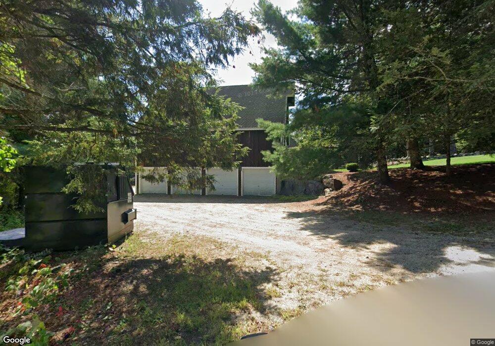
498 Route 13 S Milford, NH 03055
Estimated Value: $909,743 - $1,133,000
4
Beds
5
Baths
4,003
Sq Ft
$257/Sq Ft
Est. Value
About This Home
This home is located at 498 Route 13 S, Milford, NH 03055 and is currently estimated at $1,027,936, approximately $256 per square foot. 498 Route 13 S is a home with nearby schools including Jacques Memorial Elementary School, Heron Pond Elementary School, and Milford Middle School.
Ownership History
Date
Name
Owned For
Owner Type
Purchase Details
Closed on
Apr 28, 2016
Sold by
Chappell Roger G and Chappell Bonnie L
Bought by
Chappell Duane and Chappell Andrea K
Current Estimated Value
Home Financials for this Owner
Home Financials are based on the most recent Mortgage that was taken out on this home.
Original Mortgage
$360,000
Outstanding Balance
$287,237
Interest Rate
3.73%
Mortgage Type
Purchase Money Mortgage
Estimated Equity
$740,699
Create a Home Valuation Report for This Property
The Home Valuation Report is an in-depth analysis detailing your home's value as well as a comparison with similar homes in the area
Home Values in the Area
Average Home Value in this Area
Purchase History
| Date | Buyer | Sale Price | Title Company |
|---|---|---|---|
| Chappell Duane | $450,000 | -- |
Source: Public Records
Mortgage History
| Date | Status | Borrower | Loan Amount |
|---|---|---|---|
| Open | Chappell Duane | $360,000 |
Source: Public Records
Tax History Compared to Growth
Tax History
| Year | Tax Paid | Tax Assessment Tax Assessment Total Assessment is a certain percentage of the fair market value that is determined by local assessors to be the total taxable value of land and additions on the property. | Land | Improvement |
|---|---|---|---|---|
| 2024 | $19,097 | $806,800 | $117,200 | $689,600 |
| 2023 | $17,887 | $806,800 | $117,200 | $689,600 |
| 2022 | $16,773 | $806,800 | $117,200 | $689,600 |
| 2021 | $16,257 | $806,800 | $117,200 | $689,600 |
| 2020 | $16,676 | $657,300 | $83,900 | $573,400 |
| 2019 | $17,070 | $657,300 | $83,900 | $573,400 |
| 2018 | $15,641 | $535,100 | $83,900 | $451,200 |
| 2017 | $15,727 | $535,100 | $83,900 | $451,200 |
| 2016 | $15,496 | $535,100 | $83,900 | $451,200 |
| 2015 | $16,145 | $565,300 | $59,000 | $506,300 |
| 2014 | $15,433 | $565,300 | $59,000 | $506,300 |
| 2013 | $15,246 | $565,300 | $59,000 | $506,300 |
Source: Public Records
Map
Nearby Homes
- 14 Reserve Way
- 36 Berkeley Place
- 33 David Dr
- 26 Melendy Rd Unit 97
- 00 Ruonala Rd
- 44 Osgood Rd
- 28 Christine Dr
- 112 Union St
- 88 Noons Quarry Rd
- 377 Nashua St
- 339 Nashua St
- 8 Carriage Ln
- 0 Ball Hill Rd
- 254 Nashua St
- 24 Spaulding St
- 0 Claude Rd
- 30 Perkins St Unit 1
- 18 Adams St
- 40 North St
- 0 Briar Cliff Dr
- 500 Route 13 S
- 484 Route 13 S
- 468 South St
- 468 Route 13 S
- 468 Route 13 S
- 77 Old Brookline Rd
- 85 Old Brookline Rd
- 103 Old Brookline Rd
- 105 Old Brookline Rd
- 95 Old Brookline Rd
- 109 Old Brookline Rd
- 454 Route 13 S
- 99 Old Brookline Rd
- 459 Route 13 S
- 89 Old Brookline Rd
- 115 Old Brookline Rd
- 57 Old Brookline Rd
- 13 Fairhaven Ave
- 18 Colburn Rd
- 111 Old Brookline Rd