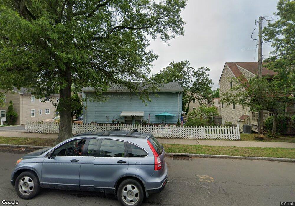
498 Woodward Ave Unit 5 New Haven, CT 06512
Annex NeighborhoodEstimated Value: $230,000 - $299,000
2
Beds
2
Baths
1,080
Sq Ft
$231/Sq Ft
Est. Value
About This Home
This home is located at 498 Woodward Ave Unit 5, New Haven, CT 06512 and is currently estimated at $249,492, approximately $231 per square foot. 498 Woodward Ave Unit 5 is a home located in New Haven County with nearby schools including St Francis & St Rose Of Lima School and Pathway School.
Ownership History
Date
Name
Owned For
Owner Type
Purchase Details
Closed on
Feb 26, 2010
Sold by
Parsons Britta
Bought by
Iskra Anna
Current Estimated Value
Home Financials for this Owner
Home Financials are based on the most recent Mortgage that was taken out on this home.
Original Mortgage
$140,400
Outstanding Balance
$93,657
Interest Rate
5.11%
Estimated Equity
$155,835
Purchase Details
Closed on
Jun 3, 2003
Sold by
Borkowski Gary J
Bought by
Parsons Britta
Home Financials for this Owner
Home Financials are based on the most recent Mortgage that was taken out on this home.
Original Mortgage
$92,000
Interest Rate
5.86%
Create a Home Valuation Report for This Property
The Home Valuation Report is an in-depth analysis detailing your home's value as well as a comparison with similar homes in the area
Home Values in the Area
Average Home Value in this Area
Purchase History
| Date | Buyer | Sale Price | Title Company |
|---|---|---|---|
| Iskra Anna | $154,000 | -- | |
| Parsons Britta | $115,000 | -- |
Source: Public Records
Mortgage History
| Date | Status | Borrower | Loan Amount |
|---|---|---|---|
| Open | Parsons Britta | $140,400 | |
| Closed | Parsons Britta | $10,000 | |
| Closed | Parsons Britta | $7,500 | |
| Previous Owner | Parsons Britta | $92,000 |
Source: Public Records
Tax History Compared to Growth
Tax History
| Year | Tax Paid | Tax Assessment Tax Assessment Total Assessment is a certain percentage of the fair market value that is determined by local assessors to be the total taxable value of land and additions on the property. | Land | Improvement |
|---|---|---|---|---|
| 2025 | $3,949 | $100,240 | $0 | $100,240 |
| 2024 | $3,859 | $100,240 | $0 | $100,240 |
| 2023 | $3,729 | $100,240 | $0 | $100,240 |
| 2022 | $3,985 | $100,240 | $0 | $100,240 |
| 2021 | $3,889 | $88,620 | $0 | $88,620 |
| 2020 | $3,889 | $88,620 | $0 | $88,620 |
| 2019 | $3,809 | $88,620 | $0 | $88,620 |
| 2018 | $3,809 | $88,620 | $0 | $88,620 |
| 2017 | $3,428 | $88,620 | $0 | $88,620 |
| 2016 | $4,116 | $99,050 | $0 | $99,050 |
| 2015 | $4,116 | $99,050 | $0 | $99,050 |
| 2014 | $4,116 | $99,050 | $0 | $99,050 |
Source: Public Records
Map
Nearby Homes
- 516 Woodward Ave
- 444 Woodward Ave
- 30 Upson Terrace
- 666 Woodward Ave Unit 666
- 1090 Townsend Ave
- 32 Huntington Ave
- 44 Huntington Ave
- 1117 Townsend Ave
- 45 Huntington Ave
- 62 Huntington Rd Unit 7
- 745 Townsend Ave Unit Lot 1
- 745 Townsend Ave Unit Lot 2
- 745 Townsend Ave Unit Lot 4
- 745 Townsend Ave Unit Lot 6
- 745 Townsend Ave Unit Lot 3
- 745 Townsend Ave Unit Lot 5
- 334 Prospect Ave Unit 334
- 66 Elizabeth Ann Dr
- 112 Harrington Ave
- 120 Harrington Ave
- 498 Woodward Ave Unit B
- 510 Woodward Ave Unit 24
- 510 Woodward Ave Unit 23
- 510 Woodward Ave Unit 22
- 498 Woodward Ave Unit 7
- 498 Woodward Ave Unit 6
- 498 Woodward Ave
- 498 Woodward Ave
- 510 Woodward Ave Unit C
- 516 Woodward Ave Unit 516 B
- 496A Woodward Ave Unit A
- 500A Woodward Ave Unit 500 A
- 516A Woodward Ave Unit 516 A
- 506B Woodward Ave Unit 506 B
- 496A Woodward Ave Unit 3
- 518 Woodward Ave Unit 21
- 518 Woodward Ave Unit 20
- 516 Woodward Ave Unit 19
- 516 Woodward Ave Unit 18
- 508 Woodward Ave Unit 15