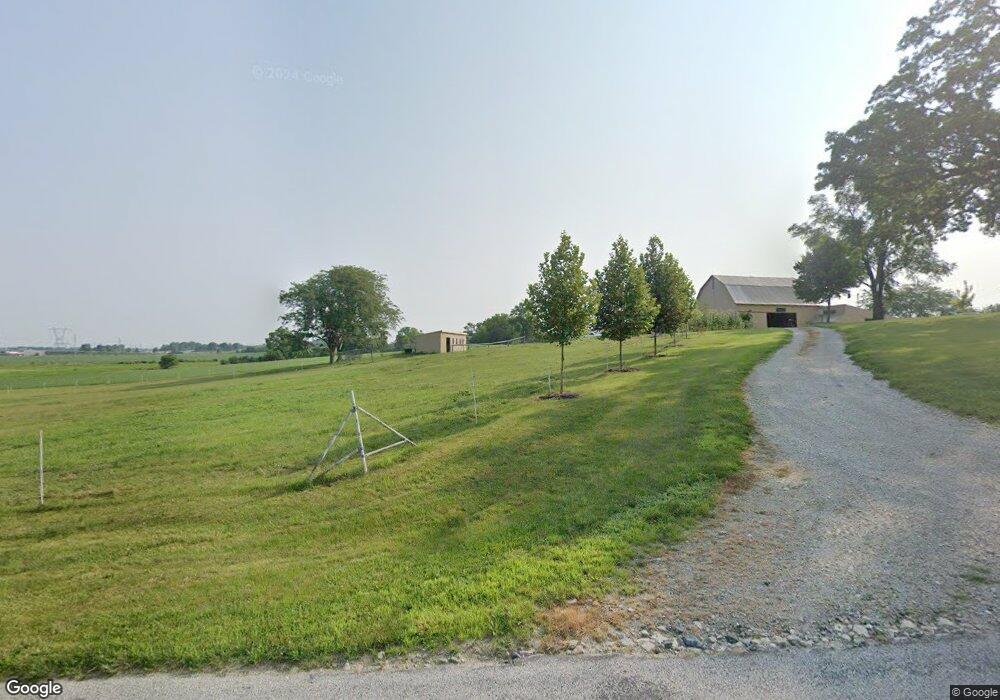
4982 E Station Rd Roanoke, IN 46783
Estimated Value: $495,000 - $549,640
3
Beds
3
Baths
2,952
Sq Ft
$177/Sq Ft
Est. Value
About This Home
This home is located at 4982 E Station Rd, Roanoke, IN 46783 and is currently estimated at $522,320, approximately $176 per square foot. 4982 E Station Rd is a home located in Huntington County with nearby schools including Roanoke Elementary School, Crestview Middle School, and Huntington North High School.
Ownership History
Date
Name
Owned For
Owner Type
Purchase Details
Closed on
Feb 10, 2005
Sold by
Malcolm Brenda S
Bought by
Malcolm Brenda Sue
Current Estimated Value
Create a Home Valuation Report for This Property
The Home Valuation Report is an in-depth analysis detailing your home's value as well as a comparison with similar homes in the area
Purchase History
| Date | Buyer | Sale Price | Title Company |
|---|---|---|---|
| Malcolm Brenda Sue | -- | None Available |
Source: Public Records
Tax History
| Year | Tax Paid | Tax Assessment Tax Assessment Total Assessment is a certain percentage of the fair market value that is determined by local assessors to be the total taxable value of land and additions on the property. | Land | Improvement |
|---|---|---|---|---|
| 2025 | $3,647 | $515,200 | $44,900 | $470,300 |
| 2024 | $3,647 | $423,800 | $45,700 | $378,100 |
| 2023 | $3,301 | $373,400 | $43,900 | $329,500 |
| 2022 | $3,281 | $364,300 | $42,000 | $322,300 |
| 2021 | $3,126 | $322,200 | $40,900 | $281,300 |
| 2020 | $3,071 | $307,000 | $40,900 | $266,100 |
| 2019 | $2,575 | $0 | $0 | $0 |
| 2018 | $2,713 | $278,400 | $42,500 | $235,900 |
| 2017 | $2,503 | $285,900 | $43,600 | $242,300 |
| 2016 | $2,288 | $284,700 | $44,200 | $240,500 |
| 2014 | $2,215 | $274,300 | $44,600 | $229,700 |
| 2013 | $2,215 | $268,200 | $43,200 | $225,000 |
Source: Public Records
Map
Nearby Homes
- 4565 E Station Rd
- 621 Nancyk Crossing
- 602 Nancyk Crossing
- 183 W Vine St
- TBD Feighner Rd
- 451 Rockwell Ave
- 686 Puttman Place
- tbd Kilsoquah
- 416 Nordyk Dr
- 775 N Seminary St
- 14277 Aboite Rd
- 3132 E 900 N
- 0 Ginger Rd
- 13011 Hamilton Rd
- 2975 E 630 N
- 5156 N Mayne Rd
- TBD W Yoder Rd
- 11132 Carob Thorn Trail
- 11099 Carob Thorn Trail
- 10937 Carob Thorn Trail
- 8250 N Mayne Rd
- 8163 N Mayne Rd
- 7803 N Mayne Rd
- 8426 N Mayne Rd
- 8428 N Mayne Rd
- 4647 E Station Rd
- 8430 N Mayne Rd
- 5225 E Station Rd
- 8461 N Mayne Rd
- 5422 E Station Rd
- 4587 E Station Rd
- 8526 N Mayne Rd
- 8490 N Mayne Rd
- 8510 N Mayne Rd
- 4539 E Station Rd
- 4548 E Station Rd
- 8534 N Mayne Rd
- 8599 N Mayne Rd
- 8556 N Mayne Rd
- 7612 N Mayne Rd
Your Personal Tour Guide
Ask me questions while you tour the home.