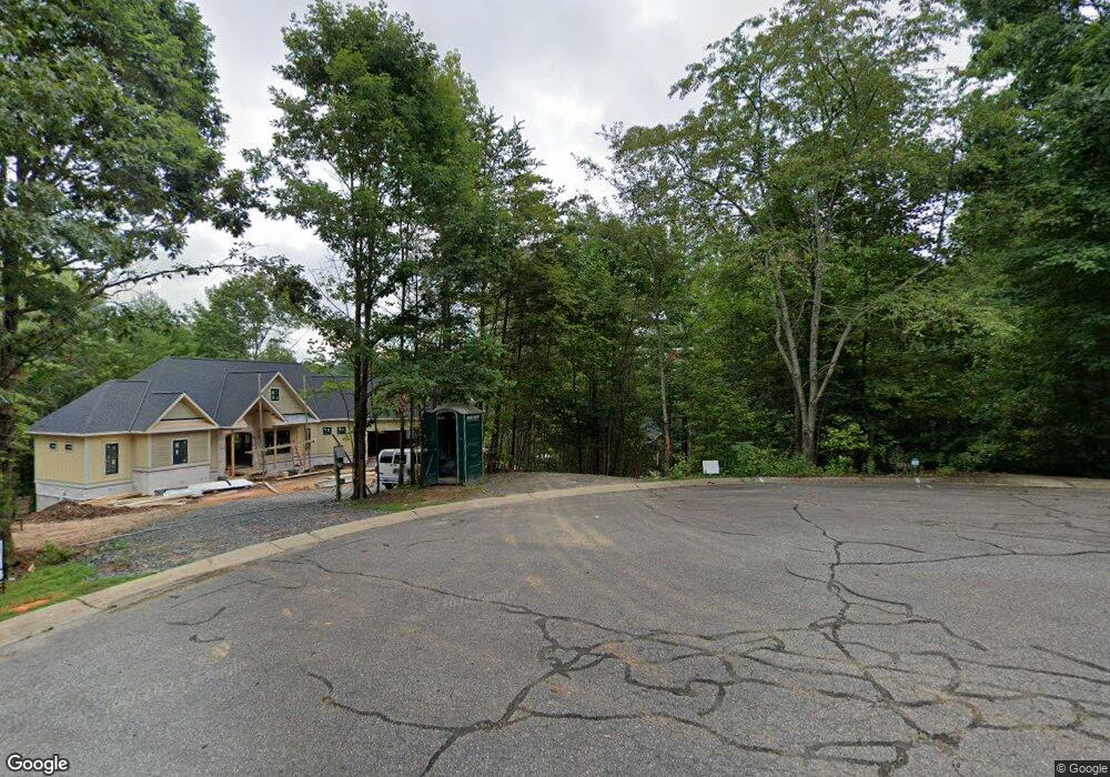
4983 Arbor Ct Morganton, NC 28655
Lake James NeighborhoodEstimated Value: $1,104,000 - $1,431,000
3
Beds
3
Baths
3,018
Sq Ft
$411/Sq Ft
Est. Value
About This Home
This home is located at 4983 Arbor Ct, Morganton, NC 28655 and is currently estimated at $1,241,570, approximately $411 per square foot. 4983 Arbor Ct is a home with nearby schools including Glen Alpine Elementary School, Table Rock Middle School, and Freedom High School.
Ownership History
Date
Name
Owned For
Owner Type
Purchase Details
Closed on
Dec 19, 2016
Sold by
Sochin Jonathan L and Frantz Nancy
Bought by
Two Sisters Of Lake James Llc
Current Estimated Value
Home Financials for this Owner
Home Financials are based on the most recent Mortgage that was taken out on this home.
Original Mortgage
$624,000
Outstanding Balance
$511,639
Interest Rate
4.03%
Mortgage Type
New Conventional
Estimated Equity
$729,931
Purchase Details
Closed on
Oct 27, 2006
Sold by
Ong John J and Ong Alexandra
Bought by
Sochin John and Frantz Nancy
Create a Home Valuation Report for This Property
The Home Valuation Report is an in-depth analysis detailing your home's value as well as a comparison with similar homes in the area
Home Values in the Area
Average Home Value in this Area
Purchase History
| Date | Buyer | Sale Price | Title Company |
|---|---|---|---|
| Two Sisters Of Lake James Llc | -- | Attorney | |
| Dunlap Wesley C | -- | Attorney | |
| Sochin John | $400,000 | None Available |
Source: Public Records
Mortgage History
| Date | Status | Borrower | Loan Amount |
|---|---|---|---|
| Open | Dunlap Wesley C | $624,000 |
Source: Public Records
Tax History
| Year | Tax Paid | Tax Assessment Tax Assessment Total Assessment is a certain percentage of the fair market value that is determined by local assessors to be the total taxable value of land and additions on the property. | Land | Improvement |
|---|---|---|---|---|
| 2025 | $6,398 | $993,113 | $295,100 | $698,013 |
| 2024 | $6,444 | $993,113 | $295,100 | $698,013 |
| 2023 | $6,444 | $993,113 | $295,100 | $698,013 |
| 2022 | $5,766 | $733,406 | $277,550 | $455,856 |
| 2021 | $5,760 | $733,406 | $277,550 | $455,856 |
| 2020 | $5,756 | $733,406 | $277,550 | $455,856 |
| 2019 | $5,756 | $733,406 | $277,550 | $455,856 |
| 2018 | $4,655 | $591,341 | $255,100 | $336,241 |
| 2017 | $1,961 | $253,060 | $253,060 | $0 |
| 2016 | $1,923 | $253,060 | $253,060 | $0 |
| 2015 | $1,923 | $253,060 | $253,060 | $0 |
| 2014 | $1,923 | $253,060 | $253,060 | $0 |
| 2013 | $1,923 | $253,060 | $253,060 | $0 |
Source: Public Records
Map
Nearby Homes
- 1416 Southpointe Dr Unit 67
- 1386 Southpointe Dr
- 2063 W Bluewater Dr
- 1277 Northview Dr
- 5619 Channel View Cove
- 5029 Winfield Ln
- 2018 Starlight Ln
- 2033 Starlight Ln Unit 111
- 1590 Hawks Pointe Ln
- 1590 Hawks Pointe Ln Unit 179
- 4634 Harbor View Terrace
- 4639 Harbor View Terrace
- 4664 Boyd Moore Ave
- 0 Boyd Moore Ave Unit CAR3848175
- 1600 Lillians Point Ct Unit 33
- 1504 Brentwood Place
- 1388 Old Dry Creek Rd
- 4617 Harbor View Terrace
- 1003 Glory Dr
- 1499 Brentwood Place
- 1421 Southpointe Dr
- 1421 Southpointe Dr Unit 251
- 1429 Southpointe Dr
- 1415 Southpointe Dr
- 1415 Southpointe Dr Unit 252
- 4991 Arbor Ct
- 4974 Arbor Ct Unit 255
- 4982 Arbor Ct Unit 256
- 4990 Arbor Ct
- 4990 Arbor Ct Unit 257
- Lot 173 the Arbor Unit 173
- 4940 Camden Pointe Dr
- 1441 Southpointe Dr Unit 249
- 1441 Southpointe Dr
- 4932 Camden Pointe Dr Unit 243
- 4950 Camden Pointe Dr Unit 245
- 4950 Camden Pointe Ln Unit 245
- 1416 Southpointe Dr
- 1440 Southpointe Dr Unit 69
- 1440 Southpointe Dr
Your Personal Tour Guide
Ask me questions while you tour the home.