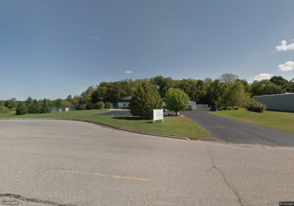
4983 Bird Dr Stockbridge, MI 49285
--
Bed
--
Bath
4,700
Sq Ft
4.75
Acres
About This Home
This home is located at 4983 Bird Dr, Stockbridge, MI 49285. 4983 Bird Dr is a home located in Ingham County with nearby schools including Emma Smith Elementary School, Heritage School, and Stockbridge High School.
Ownership History
Date
Name
Owned For
Owner Type
Purchase Details
Closed on
Feb 29, 2024
Sold by
Waters Edge Dock & Boat Hoist Mmxi Inc
Bought by
Sh & Sh Realty Llc
Purchase Details
Closed on
Feb 11, 2022
Sold by
Ata Real Estate Investments Llc
Bought by
Waters Edge Dock & Boat Hoist Mmxi Inc and Hoist Boat
Purchase Details
Closed on
Jul 31, 2020
Sold by
Loy James and Loy Rhuonda
Bought by
Ata Real Estate Investments Llpc
Home Financials for this Owner
Home Financials are based on the most recent Mortgage that was taken out on this home.
Original Mortgage
$210,000
Interest Rate
3.1%
Mortgage Type
Unknown
Purchase Details
Closed on
Jun 17, 2014
Sold by
Bird Property Llc
Bought by
Loy James and Loy Rhonda
Purchase Details
Closed on
Dec 28, 2012
Sold by
Land Holdings Llc Co
Bought by
Bird Propertty Llc Co
Purchase Details
Closed on
Sep 14, 2012
Sold by
Trianco Llc
Bought by
Land Holdings Llc
Create a Home Valuation Report for This Property
The Home Valuation Report is an in-depth analysis detailing your home's value as well as a comparison with similar homes in the area
Home Values in the Area
Average Home Value in this Area
Purchase History
| Date | Buyer | Sale Price | Title Company |
|---|---|---|---|
| Sh & Sh Realty Llc | -- | None Listed On Document | |
| Waters Edge Dock & Boat Hoist Mmxi Inc | $265,000 | Liberty Title | |
| Ata Real Estate Investments Llpc | $270,000 | Liberty Title | |
| Loy James | $130,000 | None Available | |
| Bird Propertty Llc Co | $107,000 | None Available | |
| Land Holdings Llc | -- | None Available |
Source: Public Records
Mortgage History
| Date | Status | Borrower | Loan Amount |
|---|---|---|---|
| Previous Owner | Ata Real Estate Investments Llpc | $210,000 |
Source: Public Records
Tax History Compared to Growth
Tax History
| Year | Tax Paid | Tax Assessment Tax Assessment Total Assessment is a certain percentage of the fair market value that is determined by local assessors to be the total taxable value of land and additions on the property. | Land | Improvement |
|---|---|---|---|---|
| 2025 | $8,949 | $167,100 | $55,300 | $111,800 |
| 2024 | $54 | $161,900 | $52,500 | $109,400 |
| 2023 | $11,275 | $156,600 | $52,000 | $104,600 |
| 2022 | $10,461 | $147,900 | $52,800 | $95,100 |
| 2021 | $10,307 | $150,000 | $0 | $0 |
| 2020 | $8,628 | $143,300 | $0 | $0 |
| 2019 | $6,667 | $133,600 | $43,600 | $90,000 |
| 2018 | $8,191 | $127,300 | $43,800 | $83,500 |
| 2017 | $6,756 | $127,300 | $43,800 | $83,500 |
| 2016 | $8,352 | $129,700 | $43,750 | $85,950 |
| 2015 | -- | $124,350 | $87,500 | $36,850 |
| 2014 | -- | $120,000 | $87,500 | $32,500 |
Source: Public Records
Map
Nearby Homes
- 0 M-52 Unit 291080
- Lot 7 Lucas Ln
- 4053 Eastbridge Rd
- 4057 Eastbridge Rd
- 4059 Eastbridge Rd
- 630 W Main St W
- 4012 Eastbridge Rd
- 5599 S M 52
- 4005 Eastbridge Rd
- 5695 Hinkley Rd
- 0 Green Rd Unit 25034208
- 4100 N Main St
- 4845 Moechel Rd
- 5001 Dexter Trail
- 4219 Cattle Dr
- 13201 Rockwell Rd
- 0 Adams Unit 25049387
- 4239 Adams Rd
- 4500 Chapman Rd
- 0 Tophith Rd