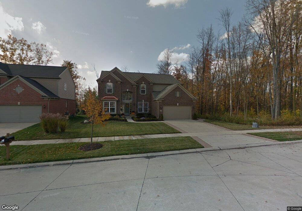
49837 Baker Ct Macomb, MI 48044
Estimated Value: $570,366 - $667,000
4
Beds
3
Baths
3,326
Sq Ft
$190/Sq Ft
Est. Value
About This Home
This home is located at 49837 Baker Ct, Macomb, MI 48044 and is currently estimated at $630,842, approximately $189 per square foot. 49837 Baker Ct is a home located in Macomb County with nearby schools including Floyd Ebeling Elementary School, Bemis Junior High School, and Henry Ford II High School.
Ownership History
Date
Name
Owned For
Owner Type
Purchase Details
Closed on
May 30, 2008
Sold by
Hornsby Jamie Lynn
Bought by
Deon Steven R and Deon Stacy J
Current Estimated Value
Purchase Details
Closed on
Sep 18, 2007
Sold by
Hornsby Gregory James
Bought by
Hornsby Jamie Lynn
Purchase Details
Closed on
Oct 9, 2006
Sold by
Pulte Land Co Llc
Bought by
Hornsby Gregory J and Hornsby Jamie L
Create a Home Valuation Report for This Property
The Home Valuation Report is an in-depth analysis detailing your home's value as well as a comparison with similar homes in the area
Home Values in the Area
Average Home Value in this Area
Purchase History
| Date | Buyer | Sale Price | Title Company |
|---|---|---|---|
| Deon Steven R | $313,000 | None Available | |
| Hornsby Jamie Lynn | -- | None Available | |
| Hornsby Gregory J | $84,000 | Metropolitan Title Company |
Source: Public Records
Tax History Compared to Growth
Tax History
| Year | Tax Paid | Tax Assessment Tax Assessment Total Assessment is a certain percentage of the fair market value that is determined by local assessors to be the total taxable value of land and additions on the property. | Land | Improvement |
|---|---|---|---|---|
| 2025 | $5,252 | $260,200 | $0 | $0 |
| 2024 | $3,408 | $249,300 | $0 | $0 |
| 2023 | $3,228 | $224,100 | $0 | $0 |
| 2022 | $4,760 | $207,600 | $0 | $0 |
| 2021 | $4,629 | $195,800 | $0 | $0 |
| 2020 | $2,972 | $189,000 | $0 | $0 |
| 2019 | $4,252 | $183,100 | $0 | $0 |
| 2018 | $4,192 | $179,100 | $0 | $0 |
| 2017 | $4,137 | $168,750 | $32,500 | $136,250 |
| 2016 | $3,897 | $168,750 | $0 | $0 |
| 2015 | $3,850 | $156,400 | $0 | $0 |
| 2014 | $3,850 | $145,650 | $21,500 | $124,150 |
| 2013 | $4,943 | $145,650 | $0 | $0 |
Source: Public Records
Map
Nearby Homes
- 15636 Sloane St
- 49470 Tottenham Ln
- 49479 Gaviota Ln
- 16308 Adelaide Dr
- 16246 Moore Park Rd
- 15430 Windmill Dr
- 50318 Greycoat Ln
- 49820 Potomac Ct Unit 122
- 48409 Presidential Dr
- 14890 Dover Ct Unit 80
- 56400 Twin Birch Blvd
- 56403 Twin Birch Blvd
- 16722 Glenhurst Dr Unit 200
- 49679 Trafalgar Ct
- 16812 Kentfield Rd Unit 167
- 14892 Carver Ct
- Village Manor II Plan at Monarch Estates
- Marisa II Plan at Monarch Estates
- Laura Plan at Monarch Estates
- Kirkwood Plan at Monarch Estates
- 49809 Baker Ct
- 49781 Baker Ct
- 49792 Baker Ct
- 49753 Baker Ct
- 49820 Baker Ct
- 49876 Baker Ct
- 49848 Baker Ct
- 49764 Baker Ct
- 49725 Watling St
- 15643 Grosvenor Ln
- 22 Mile Rd
- 49697 Watling St
- 15651 Grosvenor Ln
- 49712 Watling St
- 15650 Grosvenor Ln
- 49669 Watling St
- 15659 Grosvenor Ln
- 49656 Watling St
- 15658 Grosvenor Ln
- 49641 Watling St