4984 W 550 S Pendleton, IN 46064
Estimated Value: $305,000 - $471,000
3
Beds
1
Bath
2,360
Sq Ft
$159/Sq Ft
Est. Value
About This Home
This home is located at 4984 W 550 S, Pendleton, IN 46064 and is currently estimated at $376,267, approximately $159 per square foot. 4984 W 550 S is a home located in Madison County with nearby schools including Pendleton Elementary School and Pendleton Heights Middle School.
Ownership History
Date
Name
Owned For
Owner Type
Purchase Details
Closed on
Sep 5, 2025
Sold by
Eshelman Brad and Eshelman Kelly
Bought by
Eshelman Justin Douglas
Current Estimated Value
Home Financials for this Owner
Home Financials are based on the most recent Mortgage that was taken out on this home.
Original Mortgage
$280,000
Outstanding Balance
$280,000
Interest Rate
6.72%
Mortgage Type
Seller Take Back
Estimated Equity
$96,267
Purchase Details
Closed on
Jan 5, 2024
Sold by
Mckenney Kent D
Bought by
Eshelman Brad and Eshelman Kelly
Create a Home Valuation Report for This Property
The Home Valuation Report is an in-depth analysis detailing your home's value as well as a comparison with similar homes in the area
Home Values in the Area
Average Home Value in this Area
Purchase History
| Date | Buyer | Sale Price | Title Company |
|---|---|---|---|
| Eshelman Justin Douglas | -- | None Listed On Document | |
| Eshelman Brad | -- | Lenders Escrow & Title |
Source: Public Records
Mortgage History
| Date | Status | Borrower | Loan Amount |
|---|---|---|---|
| Open | Eshelman Justin Douglas | $280,000 |
Source: Public Records
Tax History
| Year | Tax Paid | Tax Assessment Tax Assessment Total Assessment is a certain percentage of the fair market value that is determined by local assessors to be the total taxable value of land and additions on the property. | Land | Improvement |
|---|---|---|---|---|
| 2025 | $1,925 | $229,400 | $34,800 | $194,600 |
| 2024 | $1,925 | $204,300 | $34,800 | $169,500 |
| 2023 | $1,882 | $186,800 | $33,200 | $153,600 |
| 2022 | $1,592 | $172,500 | $31,600 | $140,900 |
| 2021 | $1,372 | $155,500 | $28,700 | $126,800 |
| 2020 | $1,393 | $147,800 | $27,100 | $120,700 |
| 2019 | $1,344 | $142,200 | $27,100 | $115,100 |
| 2018 | $1,268 | $132,700 | $27,100 | $105,600 |
| 2017 | $997 | $113,300 | $22,900 | $90,400 |
| 2016 | $992 | $110,500 | $22,200 | $88,300 |
| 2014 | $652 | $89,200 | $20,600 | $68,600 |
| 2013 | $652 | $92,000 | $20,600 | $71,400 |
Source: Public Records
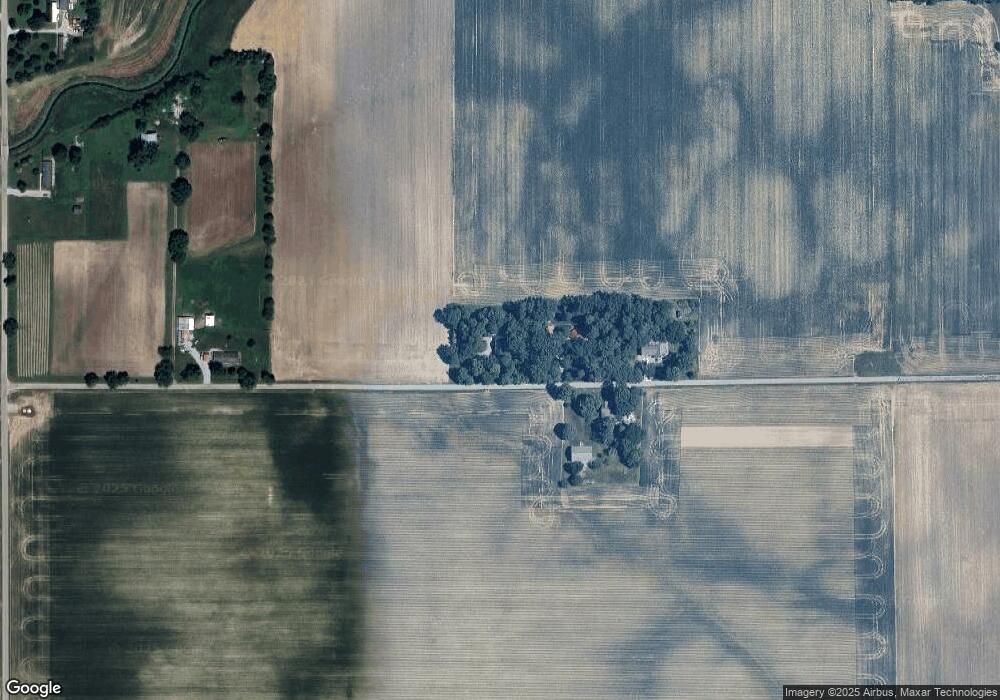
Map
Nearby Homes
- 5717 - 5721 W Sr 132
- 224 Waterford Ln
- 291 Limerick Ln
- 5734 Bancroft Dr
- 0 W State St
- 5740 Bancroft Dr
- 7129 Theo Baker Blvd
- 7153 Theo Baker Blvd
- 5746 Bancroft Dr
- 5752 Bancroft Dr
- 7145 Theo Baker Blvd
- 7105 Theo Baker Blvd
- 7121 Theo Baker Blvd
- 5758 Bancroft Dr
- 7113 Theo Baker Blvd
- 5757 Bancroft Dr
- 513 W State St
- 6049 W Foster Branch Dr
- 425 Janis Ave
- 110 W Water St
- 4936 W 550 S
- 0 County Road 550 S
- 4915 W 550 S
- 4888 W 550 S
- 4888 County Road 550 S
- 5122 W 550 S
- 5144 W 550 S
- 5392 S 525 W
- 5296 S 525 W
- 5272 S 525 W
- 5267 S 525 W
- 5299 S 475 W
- 5396 W State Road 132
- 5249 S 475 W
- 5189 W State Road 132
- 5189 W Sr 132
- 5223 W State Road 132
- 5167 W State Road 132
- 5149 W State Road 132
- 5169 S 525 W
Your Personal Tour Guide
Ask me questions while you tour the home.