4987 Red Ridge Rd Foresthill, CA 95631
Estimated Value: $399,849 - $476,000
2
Beds
2
Baths
1,355
Sq Ft
$318/Sq Ft
Est. Value
About This Home
This home is located at 4987 Red Ridge Rd, Foresthill, CA 95631 and is currently estimated at $430,462, approximately $317 per square foot. 4987 Red Ridge Rd is a home located in Placer County with nearby schools including Foresthill Elementary School and Foresthill High School.
Ownership History
Date
Name
Owned For
Owner Type
Purchase Details
Closed on
May 27, 2004
Sold by
Devries Donald D and Devries Kathleen J
Bought by
Devries Donald D and Devries Kathleen
Current Estimated Value
Home Financials for this Owner
Home Financials are based on the most recent Mortgage that was taken out on this home.
Original Mortgage
$258,000
Outstanding Balance
$125,443
Interest Rate
5.92%
Mortgage Type
Stand Alone Refi Refinance Of Original Loan
Estimated Equity
$305,019
Purchase Details
Closed on
Oct 27, 1993
Sold by
Miller Richard H and Wilson Miller Jan
Bought by
Devries Donald D and Devries Kathleen J
Home Financials for this Owner
Home Financials are based on the most recent Mortgage that was taken out on this home.
Original Mortgage
$121,849
Interest Rate
6.97%
Mortgage Type
FHA
Create a Home Valuation Report for This Property
The Home Valuation Report is an in-depth analysis detailing your home's value as well as a comparison with similar homes in the area
Home Values in the Area
Average Home Value in this Area
Purchase History
| Date | Buyer | Sale Price | Title Company |
|---|---|---|---|
| Devries Donald D | -- | Old Republic Title | |
| Devries Donald D | $122,000 | Placer Title Company |
Source: Public Records
Mortgage History
| Date | Status | Borrower | Loan Amount |
|---|---|---|---|
| Open | Devries Donald D | $258,000 | |
| Closed | Devries Donald D | $121,849 |
Source: Public Records
Tax History
| Year | Tax Paid | Tax Assessment Tax Assessment Total Assessment is a certain percentage of the fair market value that is determined by local assessors to be the total taxable value of land and additions on the property. | Land | Improvement |
|---|---|---|---|---|
| 2025 | $2,842 | $235,360 | $104,517 | $130,843 |
| 2023 | $2,842 | $226,222 | $100,459 | $125,763 |
| 2022 | $2,736 | $221,788 | $98,490 | $123,298 |
| 2021 | $2,671 | $217,440 | $96,559 | $120,881 |
| 2020 | $2,632 | $215,211 | $95,569 | $119,642 |
| 2019 | $2,577 | $210,993 | $93,696 | $117,297 |
| 2018 | $2,255 | $206,857 | $91,859 | $114,998 |
| 2017 | $2,212 | $202,802 | $90,058 | $112,744 |
| 2016 | $2,163 | $198,827 | $88,293 | $110,534 |
| 2015 | $2,110 | $195,841 | $86,967 | $108,874 |
| 2014 | $2,077 | $192,006 | $85,264 | $106,742 |
Source: Public Records
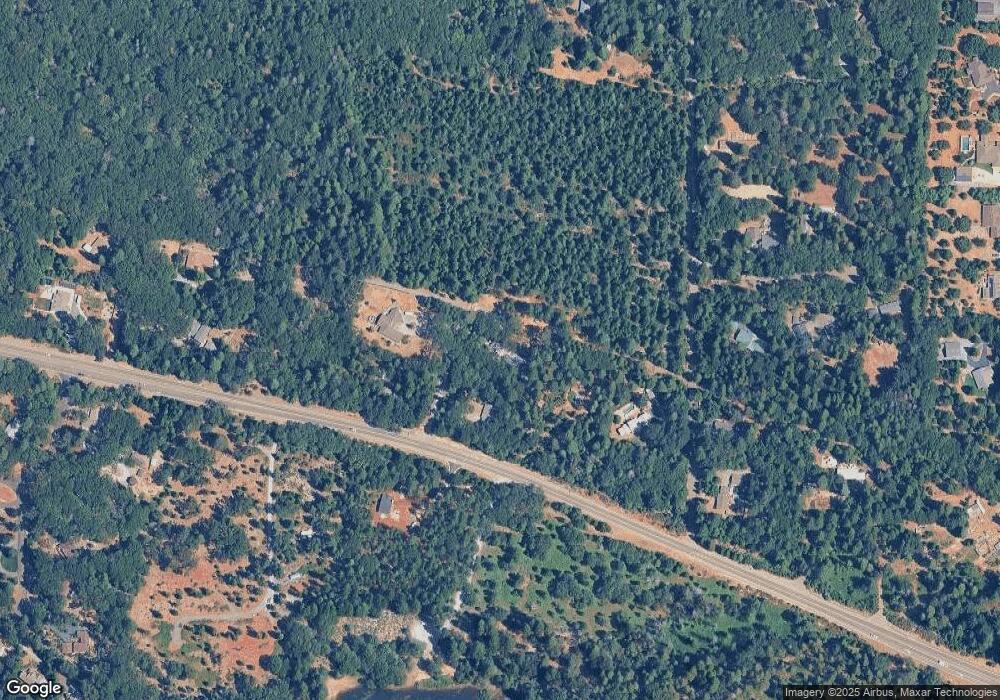
Map
Nearby Homes
- 5120 Happy Pines Dr
- 5353 Buttonwood Ct
- 5379 Crestline Dr
- 5352 Buttonwood Ct
- 21200 Todd Valley Rd Unit 111
- 5117 Cold Springs Dr
- 5043 Virginia Bird Mine Ct
- 5772 Arrowhead Dr
- 5454 Crestline Dr
- 3-ac Todd Valley Rd
- 5897 Silverleaf Dr
- 20945 Todd Valley Rd
- 4110 Pine Mountain Rd
- 5627 Maywood Dr
- 21819 Todd Valley Rd
- 5962 Arrowhead Dr
- 5689 Maywood Dr
- 6225 Green Ridge Dr
- 5701 Maywood Dr
- 5211 Clear Creek Ct
- 4995 Red Ridge Rd
- 4994 Red Ridge Rd
- 4986 Red Ridge Rd
- 5805 Polaris Way
- 21020 Echo Ridge Ct
- 4985 Smoke Tree Rd
- 4993 Smoke Tree Rd
- 5810 Polaris Way
- 5830 Polaris Way
- 5800 Polaris Way
- 21040 Echo Ridge Ct
- 20698 Cedar View Dr
- 5865 Polaris Way
- 1 Foresthill Smoke Tree Ln
- 4984 Smoke Tree Rd
- 20694 Cedar View Dr
- 21075 Foresthill Rd
- 20690 Cedar View Dr
- 4992 Smoke Tree Rd
- 20695 Cedar View Dr
Your Personal Tour Guide
Ask me questions while you tour the home.