499 Currahee Point Toccoa, GA 30577
Estimated Value: $600,866 - $801,000
4
Beds
2
Baths
1,752
Sq Ft
$412/Sq Ft
Est. Value
About This Home
This home is located at 499 Currahee Point, Toccoa, GA 30577 and is currently estimated at $721,467, approximately $411 per square foot. 499 Currahee Point is a home located in Stephens County with nearby schools including Stephens County High School.
Ownership History
Date
Name
Owned For
Owner Type
Purchase Details
Closed on
Oct 28, 2015
Sold by
Bradshaw Grady Elbridge Ir
Bought by
Oswald Teresa W
Current Estimated Value
Purchase Details
Closed on
Sep 12, 2014
Sold by
Bradshaw Grady Elbridge
Bought by
Oswald Teresa W and Bradshaw Grady Elbridge Irrevo
Purchase Details
Closed on
Sep 15, 2013
Sold by
Bradshaw Winona K
Bought by
Bradshaw Winona K Estate
Purchase Details
Closed on
Dec 1, 1984
Bought by
Bradshaw Winona K
Create a Home Valuation Report for This Property
The Home Valuation Report is an in-depth analysis detailing your home's value as well as a comparison with similar homes in the area
Purchase History
| Date | Buyer | Sale Price | Title Company |
|---|---|---|---|
| Oswald Teresa W | -- | -- | |
| Oswald Teresa W | -- | -- | |
| Bradshaw Grady Elbridge | -- | -- | |
| Bradshaw Winona K Estate | -- | -- | |
| Bradshaw Winona K | $13,100 | -- |
Source: Public Records
Tax History
| Year | Tax Paid | Tax Assessment Tax Assessment Total Assessment is a certain percentage of the fair market value that is determined by local assessors to be the total taxable value of land and additions on the property. | Land | Improvement |
|---|---|---|---|---|
| 2025 | $3,371 | $175,006 | $69,142 | $105,864 |
| 2024 | $4,301 | $141,245 | $69,142 | $72,103 |
| 2023 | $3,995 | $131,200 | $69,142 | $62,058 |
| 2022 | $3,821 | $128,340 | $69,142 | $59,198 |
| 2021 | $3,888 | $124,344 | $69,480 | $54,864 |
| 2020 | $3,908 | $123,755 | $69,480 | $54,275 |
| 2019 | $3,924 | $123,755 | $69,480 | $54,275 |
| 2018 | $3,924 | $123,755 | $69,480 | $54,275 |
| 2017 | $3,986 | $123,755 | $69,480 | $54,275 |
| 2016 | $3,924 | $123,755 | $69,480 | $54,275 |
| 2015 | $4,113 | $123,851 | $69,480 | $54,371 |
| 2014 | $2,957 | $123,668 | $69,480 | $54,188 |
| 2013 | -- | $123,668 | $69,479 | $54,188 |
Source: Public Records
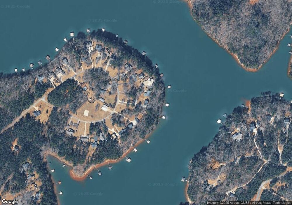
Map
Nearby Homes
- 604 Mckinney Way
- 49 Currahee Point
- 287 Spring Branch Cir
- 455 Chase Landing Rd
- 333 Oliver Rd
- 223 Brookside Dr
- Lot 9 Block A Brookside Dr
- 1 Brookside Dr
- LOT 7 Springview Dr
- 0 Springview Dr Unit 21515079
- 0 Springview Dr Unit 18549576
- 9B Lost Forest Dr
- 0 Lost Forest Dr
- 104 Overlook Dr
- 1687 Jenkins Ferry Rd
- 112 Laura Dr
- Lot 31 N Shores Dr
- 88 Currahee Place
- 347 River Trail
- 120 Ridgemore Cir
- 487 Currahee Point
- 505 Currahee Point
- 483 Currahee Point
- 525 Currahee Point
- 543 Currahee Point
- 453 Currahee Point
- 472 Currahee Point
- 540 Currahee Point
- 553 Currahee Point
- 431 Currahee Point
- 572 Currahee Point
- 565 Currahee Point
- 419 Currahee Point
- 604 Currahee Point
- 142 Currahee Point
- 573 Currahee Point
- 364 Currahee Point
- 589 Currahee Point
- 411 Currahee Point
- 112 Currahee Point
Your Personal Tour Guide
Ask me questions while you tour the home.