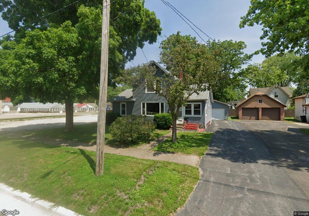
499 Sherman St Marseilles, IL 61341
Estimated Value: $133,000 - $200,000
4
Beds
2
Baths
1,600
Sq Ft
$103/Sq Ft
Est. Value
About This Home
This home is located at 499 Sherman St, Marseilles, IL 61341 and is currently estimated at $165,367, approximately $103 per square foot. 499 Sherman St is a home located in LaSalle County with nearby schools including Marseilles Elementary School and Ottawa Township High School.
Ownership History
Date
Name
Owned For
Owner Type
Purchase Details
Closed on
Oct 12, 2022
Sold by
Hollenbeck James
Bought by
Hart Julie M
Current Estimated Value
Home Financials for this Owner
Home Financials are based on the most recent Mortgage that was taken out on this home.
Original Mortgage
$70,325
Outstanding Balance
$67,475
Interest Rate
5.63%
Mortgage Type
New Conventional
Estimated Equity
$97,892
Create a Home Valuation Report for This Property
The Home Valuation Report is an in-depth analysis detailing your home's value as well as a comparison with similar homes in the area
Home Values in the Area
Average Home Value in this Area
Purchase History
| Date | Buyer | Sale Price | Title Company |
|---|---|---|---|
| Hart Julie M | -- | None Available | |
| Hart Julie M | $70,000 | None Available |
Source: Public Records
Mortgage History
| Date | Status | Borrower | Loan Amount |
|---|---|---|---|
| Open | Hart Julie M | $70,325 | |
| Closed | Hart Julie M | $70,325 |
Source: Public Records
Tax History Compared to Growth
Tax History
| Year | Tax Paid | Tax Assessment Tax Assessment Total Assessment is a certain percentage of the fair market value that is determined by local assessors to be the total taxable value of land and additions on the property. | Land | Improvement |
|---|---|---|---|---|
| 2024 | $2,932 | $36,256 | $3,174 | $33,082 |
| 2023 | $2,889 | $36,333 | $3,181 | $33,152 |
| 2022 | $3,021 | $28,374 | $3,653 | $24,721 |
| 2021 | $3,231 | $28,374 | $3,653 | $24,721 |
| 2020 | $3,198 | $28,374 | $3,653 | $24,721 |
| 2019 | $3,199 | $28,594 | $3,681 | $24,913 |
| 2018 | $3,353 | $28,500 | $3,669 | $24,831 |
| 2017 | $3,340 | $28,500 | $3,669 | $24,831 |
| 2016 | $3,328 | $28,646 | $3,688 | $24,958 |
| 2015 | $3,367 | $28,646 | $3,688 | $24,958 |
| 2012 | -- | $32,261 | $4,154 | $28,107 |
Source: Public Records
Map
Nearby Homes
- 9.58 Acres Us Highway 6
- 1260 E Bluff St
- 1385 Washington St
- 660 1st Ave
- 664 Oak Ct
- 674 Oak Ct
- 598 Illinois St
- 612 Briarwood Rd
- 521 Broadway St
- 454 Washington St
- 916-918 Prairie St
- 904-906 Prairie St
- 401 Scott St
- 330 E Bluff St
- 516 - 517 Northfork Dr
- 901-903 Colorado St
- 893-895 Colorado St
- 897-899 Colorado St
- 922 Andrew Ln
- 921 Andrew Ln