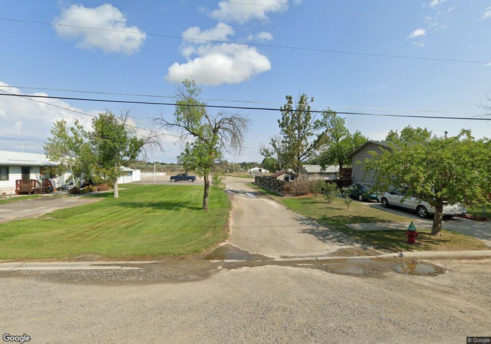
4990 Old Highway 10 W Laurel, MT 59044
Estimated Value: $498,000 - $785,000
4
Beds
3
Baths
1,520
Sq Ft
$438/Sq Ft
Est. Value
About This Home
This home is located at 4990 Old Highway 10 W, Laurel, MT 59044 and is currently estimated at $665,065, approximately $437 per square foot. 4990 Old Highway 10 W is a home located in Yellowstone County with nearby schools including West School, Fred W. Graff School, and Laurel Middle School.
Ownership History
Date
Name
Owned For
Owner Type
Purchase Details
Closed on
Jul 23, 2012
Sold by
Slater Paul and Slater Jenny
Bought by
Hartley Jon T and Hartley Kathryn M
Current Estimated Value
Purchase Details
Closed on
Dec 27, 2006
Sold by
Slater Paul and Slater Jenny
Bought by
Slater Paul and Slater Jenny
Home Financials for this Owner
Home Financials are based on the most recent Mortgage that was taken out on this home.
Original Mortgage
$132,475
Interest Rate
6.17%
Mortgage Type
Stand Alone Second
Create a Home Valuation Report for This Property
The Home Valuation Report is an in-depth analysis detailing your home's value as well as a comparison with similar homes in the area
Home Values in the Area
Average Home Value in this Area
Purchase History
| Date | Buyer | Sale Price | Title Company |
|---|---|---|---|
| Hartley Jon T | -- | None Available | |
| Slater Paul | -- | Custom Title Solutions |
Source: Public Records
Mortgage History
| Date | Status | Borrower | Loan Amount |
|---|---|---|---|
| Previous Owner | Slater Paul | $132,475 |
Source: Public Records
Tax History Compared to Growth
Tax History
| Year | Tax Paid | Tax Assessment Tax Assessment Total Assessment is a certain percentage of the fair market value that is determined by local assessors to be the total taxable value of land and additions on the property. | Land | Improvement |
|---|---|---|---|---|
| 2025 | $3,499 | $673,700 | $134,781 | $538,919 |
| 2024 | $3,499 | $530,000 | $104,042 | $425,958 |
| 2023 | $3,498 | $530,000 | $104,042 | $425,958 |
| 2022 | $3,074 | $457,700 | $0 | $0 |
| 2021 | $3,063 | $457,700 | $0 | $0 |
| 2020 | $3,028 | $443,400 | $0 | $0 |
| 2019 | $2,908 | $443,400 | $0 | $0 |
| 2018 | $3,259 | $428,200 | $0 | $0 |
| 2017 | $2,804 | $428,200 | $0 | $0 |
| 2016 | $2,714 | $400,100 | $0 | $0 |
| 2015 | $2,671 | $400,100 | $0 | $0 |
| 2014 | $2,320 | $187,037 | $0 | $0 |
Source: Public Records
Map
Nearby Homes
- TBD Lot 1 Lori Rae Ln
- TBD Lot 2 Lori Rae Ln
- 8 Pryor View Cir
- 5930 Chief Buffalo Horn Trail
- 1450 Red and King Gulch Rd
- 12 Silverado Rd
- 2307 Sportsman Park Rd
- NHN 3rd St SE
- NHN Schreiner Rd
- 113 3rd St E
- 321 4th Ave SE
- 2410 Boggio Ln
- TBD Wold Rd
- 00 Rodeo Dr
- 113 4th St SW
- 403 3rd St SW
- 522 3rd St SW
- 3 Backforty Rd
- 2275 Shay Rd
- 2900 Chief White Bird Trail
- 4970 Old Highway 10 W
- 5010 Hwy 10
- 5010 Old Highway 10 W
- 4928 Old Highway 10 W
- 5050 Old Highway 10 W
- 5050 Old Hwy 10 W
- 4903 Old Highway 10 W
- 4895 Old Highway 10 W
- 4880 Old Highway 10 W
- 718 Pope Rd
- 4960 Lori Rae Ln
- 3061 Us Highway 10 E
- 4920 Lori Rae Ln
- 4880 Highway 10
- 1025 Tracy Way
- 1000 Tracy Way
- 32 Benedict Gulch Rd
- 5050 Lori Rae Ln
- 1005 Tracy Way
- 5070 Lori Rae Ln
