4998 Anderson Rd Doylestown, PA 18902
Estimated Value: $539,000 - $664,000
3
Beds
2
Baths
2,323
Sq Ft
$261/Sq Ft
Est. Value
About This Home
This home is located at 4998 Anderson Rd, Doylestown, PA 18902 and is currently estimated at $607,145, approximately $261 per square foot. 4998 Anderson Rd is a home with nearby schools including Buckingham Elementary School, Holicong Middle School, and Central Bucks High School - East.
Ownership History
Date
Name
Owned For
Owner Type
Purchase Details
Closed on
Apr 28, 2020
Sold by
Barndt Diane L and Macfarlane Janet L
Bought by
Distefano Diano and Beschen Mary T
Current Estimated Value
Home Financials for this Owner
Home Financials are based on the most recent Mortgage that was taken out on this home.
Original Mortgage
$276,250
Outstanding Balance
$244,796
Interest Rate
3.3%
Mortgage Type
New Conventional
Estimated Equity
$362,349
Purchase Details
Closed on
Aug 12, 1988
Bought by
Stover George P and Stover Bertha L
Create a Home Valuation Report for This Property
The Home Valuation Report is an in-depth analysis detailing your home's value as well as a comparison with similar homes in the area
Home Values in the Area
Average Home Value in this Area
Purchase History
| Date | Buyer | Sale Price | Title Company |
|---|---|---|---|
| Distefano Diano | $325,000 | Tohickon Settlement Svcs Inc | |
| Stover George P | -- | -- |
Source: Public Records
Mortgage History
| Date | Status | Borrower | Loan Amount |
|---|---|---|---|
| Open | Distefano Diano | $276,250 |
Source: Public Records
Tax History Compared to Growth
Tax History
| Year | Tax Paid | Tax Assessment Tax Assessment Total Assessment is a certain percentage of the fair market value that is determined by local assessors to be the total taxable value of land and additions on the property. | Land | Improvement |
|---|---|---|---|---|
| 2025 | $5,496 | $33,760 | $19,600 | $14,160 |
| 2024 | $5,496 | $33,760 | $19,600 | $14,160 |
| 2023 | $5,310 | $33,760 | $19,600 | $14,160 |
| 2022 | $5,247 | $33,760 | $19,600 | $14,160 |
| 2021 | $5,184 | $33,760 | $19,600 | $14,160 |
| 2020 | $7,917 | $51,560 | $19,600 | $31,960 |
| 2019 | $7,865 | $51,560 | $19,600 | $31,960 |
| 2018 | $7,865 | $51,560 | $19,600 | $31,960 |
| 2017 | $7,801 | $51,560 | $19,600 | $31,960 |
| 2016 | $7,878 | $51,560 | $19,600 | $31,960 |
| 2015 | -- | $51,560 | $19,600 | $31,960 |
| 2014 | -- | $51,560 | $19,600 | $31,960 |
Source: Public Records
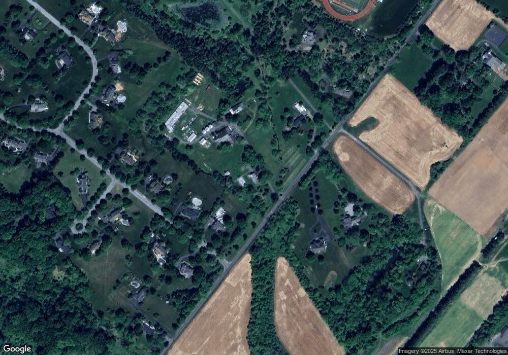
Map
Nearby Homes
- 5025 Anderson Rd
- 2565 Bogarts Tavern Rd
- 5358 York Rd
- 4604 Sands Way
- 4871 E Blossom Dr
- 5110 Harmony Ct W
- 2855 Ash Mill Rd
- 2880 Snake Hill Rd
- 2905 Ash Mill Rd
- 3111 Burnt House Hill Rd
- 2728 Red Gate Dr
- 4928 Edgewood Rd
- 2799 Manion Way
- 4350 Church Rd
- 3479 Durham Rd
- 3455 Durham Rd
- 5765 Valley Stream Dr
- 3468 Holicong Rd
- 3146 Mill Rd
- 3196 Mill Rd
- 0 0 Anderson Rd Unit PABU2020234
- 0 Anderson Rd Unit 5486335
- 0 Anderson Rd Unit 5581086
- 0 Anderson Rd Unit PABU2020236
- 2725 Stover Trail
- 2745 Stover Trail
- 5024 Anderson Rd
- 5017 Anderson Rd
- 5043 Anderson Rd
- 2775 Stover Trail
- 5008 Anderson Rd
- 2720 Stover Trail
- 2750 Stover Trail
- 5052 Anderson Rd
- 2815 Stover Trail
- 4943 Fawn Ct
- 5080 Anderson Rd
- 4902 Anderson Rd
- 4923 Fawn Ct
- 2843 White Tail Ct