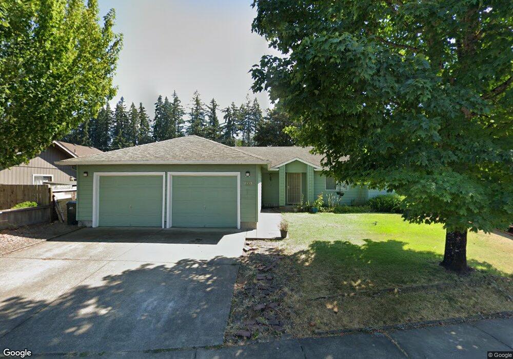
4999 Forsythia Dr Springfield, OR 97478
East Springfield NeighborhoodEstimated Value: $420,386 - $466,000
3
Beds
2
Baths
1,448
Sq Ft
$300/Sq Ft
Est. Value
About This Home
This home is located at 4999 Forsythia Dr, Springfield, OR 97478 and is currently estimated at $435,097, approximately $300 per square foot. 4999 Forsythia Dr is a home located in Lane County with nearby schools including Mt. Vernon Elementary School, Agnes Stewart Middle School, and Thurston High School.
Ownership History
Date
Name
Owned For
Owner Type
Purchase Details
Closed on
Apr 19, 2005
Sold by
Block Kenneth D and Block Ardyth A
Bought by
Midyette Harold G
Current Estimated Value
Home Financials for this Owner
Home Financials are based on the most recent Mortgage that was taken out on this home.
Original Mortgage
$148,000
Outstanding Balance
$76,172
Interest Rate
5.84%
Mortgage Type
Purchase Money Mortgage
Estimated Equity
$358,925
Create a Home Valuation Report for This Property
The Home Valuation Report is an in-depth analysis detailing your home's value as well as a comparison with similar homes in the area
Home Values in the Area
Average Home Value in this Area
Purchase History
| Date | Buyer | Sale Price | Title Company |
|---|---|---|---|
| Midyette Harold G | $185,000 | American Title Group |
Source: Public Records
Mortgage History
| Date | Status | Borrower | Loan Amount |
|---|---|---|---|
| Open | Midyette Harold G | $148,000 |
Source: Public Records
Tax History Compared to Growth
Tax History
| Year | Tax Paid | Tax Assessment Tax Assessment Total Assessment is a certain percentage of the fair market value that is determined by local assessors to be the total taxable value of land and additions on the property. | Land | Improvement |
|---|---|---|---|---|
| 2025 | $4,072 | $222,034 | -- | -- |
| 2024 | $4,006 | $215,567 | -- | -- |
| 2023 | $4,006 | $209,289 | $0 | $0 |
| 2022 | $3,710 | $203,194 | $0 | $0 |
| 2021 | $3,643 | $197,276 | $0 | $0 |
| 2020 | $3,537 | $191,531 | $0 | $0 |
| 2019 | $3,431 | $185,953 | $0 | $0 |
| 2018 | $3,234 | $175,279 | $0 | $0 |
| 2017 | $3,110 | $175,279 | $0 | $0 |
| 2016 | $3,044 | $170,174 | $0 | $0 |
| 2015 | $2,957 | $165,217 | $0 | $0 |
| 2014 | $2,913 | $160,405 | $0 | $0 |
Source: Public Records
Map
Nearby Homes
- 4970 Squirrel St
- The Darrington Plan at Woodland Ridge
- 5150 Holly St
- 5190 Holly St
- 5128 Holly St
- The Cascade Plan at Woodland Ridge
- The Harrison Plan at Woodland Ridge
- The Talent Plan at Woodland Ridge
- The Middleton Plan at Woodland Ridge
- 5112 Holly St
- 5142 Holly St
- 5184 Holly St
- The Edgewood Plan at Woodland Ridge
- The Hudson Plan at Woodland Ridge
- 4967 Cedar View Dr
- 4883 Elderberry Loop
- 5258 Cedar View Dr
- 5236 Cedar View Dr
- 5270 Cedar View Dr
- 5273 Cedar View Dr
- 5007 Forsythia St
- 5007 Forsythia Dr
- 4991 Forsythia Dr
- 5029 Forsythia Dr
- 4985 Forsythia Dr
- 4985 Forsythia St
- 4990 Forsythia Dr
- 4988 Squirrel St
- 4996 Forsythia Dr
- 5041 Forsythia Dr
- 4973 Forsythia St
- 4973 Forsythia Dr
- 5006 Forsythia Dr
- 4973 S Forsythia
- 5010 Squirrel St
- 4948 Squirrel St
- 4974 Forsythia Dr
- 4988 Forsythia Dr
- 5024 Squirrel St
- 5028 Forsythia Dr