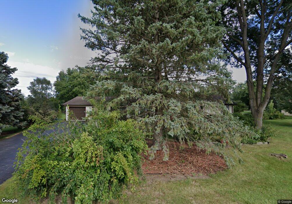
4N795 Brookside West Dr Saint Charles, IL 60175
Estimated Value: $391,283 - $478,000
Studio
--
Bath
1,740
Sq Ft
$257/Sq Ft
Est. Value
About This Home
This home is located at 4N795 Brookside West Dr, Saint Charles, IL 60175 and is currently estimated at $447,821, approximately $257 per square foot. 4N795 Brookside West Dr is a home located in Kane County with nearby schools including Wasco Elementary School, Thompson Middle School, and St Charles North High School.
Ownership History
Date
Name
Owned For
Owner Type
Purchase Details
Closed on
Mar 13, 1998
Bought by
Callister Deborah
Current Estimated Value
Home Financials for this Owner
Home Financials are based on the most recent Mortgage that was taken out on this home.
Original Mortgage
$127,900
Outstanding Balance
$23,357
Interest Rate
7%
Estimated Equity
$424,465
Create a Home Valuation Report for This Property
The Home Valuation Report is an in-depth analysis detailing your home's value as well as a comparison with similar homes in the area
Home Values in the Area
Average Home Value in this Area
Purchase History
| Date | Buyer | Sale Price | Title Company |
|---|---|---|---|
| Callister Deborah | $160,000 | Inter County Title Co |
Source: Public Records
Mortgage History
| Date | Status | Borrower | Loan Amount |
|---|---|---|---|
| Open | Callister Deborah | $127,900 |
Source: Public Records
Tax History
| Year | Tax Paid | Tax Assessment Tax Assessment Total Assessment is a certain percentage of the fair market value that is determined by local assessors to be the total taxable value of land and additions on the property. | Land | Improvement |
|---|---|---|---|---|
| 2024 | $7,003 | $117,466 | $22,717 | $94,749 |
| 2023 | $6,764 | $105,021 | $20,310 | $84,711 |
| 2022 | $5,663 | $83,189 | $18,506 | $64,683 |
| 2021 | $5,376 | $78,547 | $17,473 | $61,074 |
| 2020 | $5,759 | $77,417 | $17,222 | $60,195 |
| 2019 | $5,680 | $76,280 | $16,969 | $59,311 |
| 2018 | $5,670 | $76,280 | $16,969 | $59,311 |
| 2017 | $5,612 | $75,160 | $16,720 | $58,440 |
| 2016 | $5,931 | $73,263 | $16,298 | $56,965 |
| 2015 | -- | $71,240 | $15,848 | $55,392 |
| 2014 | -- | $72,332 | $16,091 | $56,241 |
| 2013 | -- | $73,546 | $16,361 | $57,185 |
Source: Public Records
Map
Nearby Homes
- 41W716 Hunters Hill Dr Unit 1
- 42W439 Sylvan Ln
- 42W420 Campton Hills Rd
- 42W668 Steeplechase
- 3N805 Town Hall Rd
- 43W140 Campton Hills Rd Unit 2
- 40W789 Whitney Rd
- 41W219 Forest Ln
- 41W329 Prairie View Ln
- Lot 15 Campton Meadow Dr
- 24 Autumn Ct
- 41W461 Burlington Rd
- 43W880 Pathfinder Dr Unit 3
- 6N530 Crestwood Dr
- 5N975 E Sunset Views Dr
- 43W951 Fox Hill Ct
- 42W690 Illinois 64
- 41W815 Bowgren Dr Unit 1
- 40W412 Winchester Way
- 39W901 Carl Sandburg Rd Unit 1
- 4N755 Brookside West Dr
- 4N841 Brookside West Dr
- 4N841 Brookside West Dr
- 4N786 Brookside West Dr
- 4N818 Brookside West Dr
- 4N786 Brookside Dr W
- 41W954 N Circle Dr
- Lot 1 Brookside Dr W
- 4N752 Brookside West Dr
- 4N752 Brookside Dr W
- 4N846 Brookside West Dr
- 41W944 N Circle Dr
- 4N730 Brookside West Dr
- 4N769 N Circle Dr
- 4N727 N Circle Dr
- 41W918 N Circle Dr
- 4N733 N Circle Dr
- 4N773 N Circle Dr
- 4N855 Chaffield Dr
- 41W898 N Circle Dr
Your Personal Tour Guide
Ask me questions while you tour the home.