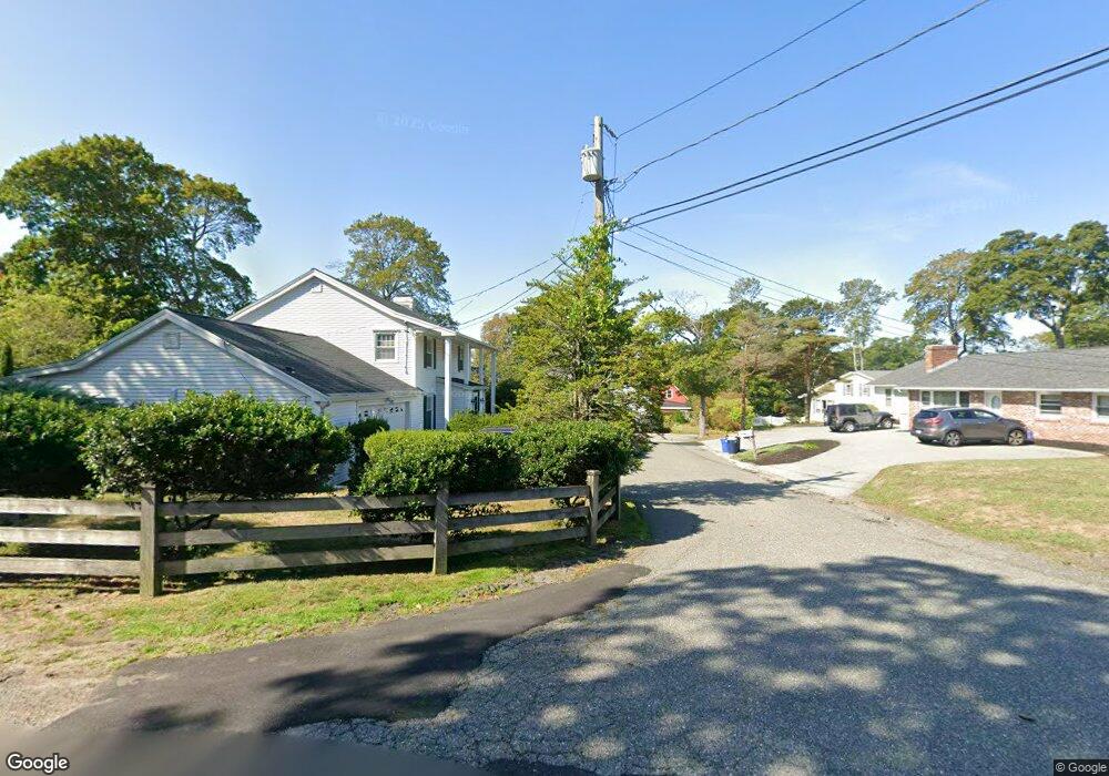
4R Lowe Dr Gloucester, MA 01930
Magnolia NeighborhoodEstimated Value: $757,101 - $935,000
3
Beds
3
Baths
1,788
Sq Ft
$476/Sq Ft
Est. Value
About This Home
This home is located at 4R Lowe Dr, Gloucester, MA 01930 and is currently estimated at $850,525, approximately $475 per square foot. 4R Lowe Dr is a home located in Essex County with nearby schools including West Parish, Ralph B O'maley Middle School, and Gloucester High School.
Ownership History
Date
Name
Owned For
Owner Type
Purchase Details
Closed on
Dec 1, 1992
Sold by
Saldi Ronald L and Saldi Marylou
Bought by
Faunce Deborah E and Buckley Bryan
Current Estimated Value
Home Financials for this Owner
Home Financials are based on the most recent Mortgage that was taken out on this home.
Original Mortgage
$156,750
Interest Rate
8.06%
Mortgage Type
Purchase Money Mortgage
Create a Home Valuation Report for This Property
The Home Valuation Report is an in-depth analysis detailing your home's value as well as a comparison with similar homes in the area
Home Values in the Area
Average Home Value in this Area
Purchase History
| Date | Buyer | Sale Price | Title Company |
|---|---|---|---|
| Faunce Deborah E | $165,000 | -- |
Source: Public Records
Mortgage History
| Date | Status | Borrower | Loan Amount |
|---|---|---|---|
| Open | Faunce Deborah E | $137,500 | |
| Closed | Faunce Deborah E | $156,750 |
Source: Public Records
Tax History
| Year | Tax Paid | Tax Assessment Tax Assessment Total Assessment is a certain percentage of the fair market value that is determined by local assessors to be the total taxable value of land and additions on the property. | Land | Improvement |
|---|---|---|---|---|
| 2025 | $6,554 | $674,300 | $261,600 | $412,700 |
| 2024 | $6,559 | $674,100 | $249,100 | $425,000 |
| 2023 | $6,368 | $601,300 | $222,500 | $378,800 |
| 2022 | $5,759 | $491,000 | $189,100 | $301,900 |
| 2021 | $5,798 | $466,100 | $171,900 | $294,200 |
| 2020 | $5,569 | $451,700 | $171,900 | $279,800 |
| 2019 | $5,554 | $437,700 | $171,900 | $265,800 |
| 2018 | $5,675 | $438,900 | $171,900 | $267,000 |
| 2017 | $5,458 | $413,800 | $163,700 | $250,100 |
| 2016 | $5,371 | $394,600 | $164,200 | $230,400 |
| 2015 | $4,954 | $362,900 | $164,200 | $198,700 |
Source: Public Records
Map
Nearby Homes
- 17 Butler Ave
- 2 Ocean Ave Unit 3B
- 2 Ocean Ave Unit 3C
- 468 Summer St
- 450 Summer St
- 335 Summer St
- 13 Hickory Hill Rd
- 239 Summer St
- 25 Forest St
- 4 Cobb Ave
- 368 Essex Ave
- 5 Marshfield St
- 5 Samoset Rd Unit B
- 55 Mansfield St Unit A
- 55 Mansfield St Unit B
- 55 Mansfield St
- 84 Centennial Ave
- 7 Hawthorne Ln
- 15 Harvard St
- 7 Rackliffe St Unit 1
- 6 Norman Ave
- 4 Lowe Dr
- 6 Lowe Dr
- 6R Lowe Dr
- 3 Magnolia Ave
- 5 Magnolia Ave
- 4 Norman Ave
- 8 Norman Ave
- 1 Magnolia Ave
- 1 Magnolia Ave Unit 1
- 8 Lowe Dr
- 9 Magnolia Ave
- 7 Magnolia Ave Unit 2
- 7 Magnolia Ave Unit 1
- 3 Lowe Dr
- 10 Norman Ave
- 35 Fuller St
- 35 Fuller St Unit 302
- 35 Fuller St Unit Penthouse
- 35 Fuller St Unit 202.
