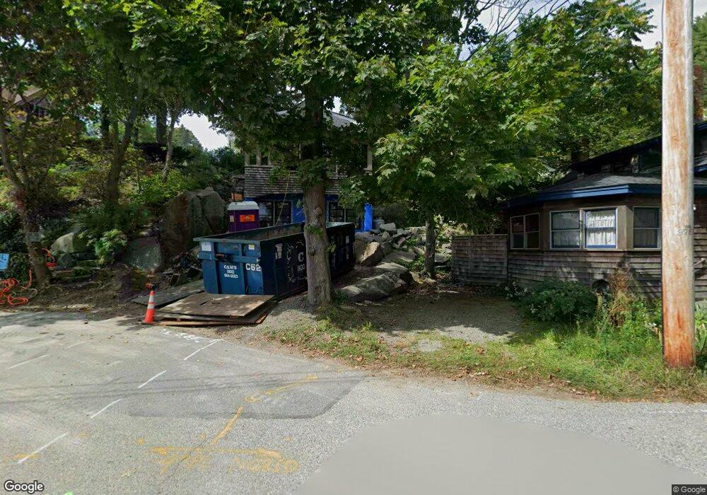
5 Adams Hill Rd Gloucester, MA 01930
Annisquam NeighborhoodEstimated Value: $1,691,000 - $2,929,000
7
Beds
4
Baths
3,484
Sq Ft
$660/Sq Ft
Est. Value
About This Home
This home is located at 5 Adams Hill Rd, Gloucester, MA 01930 and is currently estimated at $2,297,927, approximately $659 per square foot. 5 Adams Hill Rd is a home located in Essex County with nearby schools including Plum Cove School, Ralph B O'maley Middle School, and Gloucester High School.
Ownership History
Date
Name
Owned For
Owner Type
Purchase Details
Closed on
Jun 18, 2021
Sold by
Greenstein David
Bought by
Martin Andrew and Martin Michele
Current Estimated Value
Home Financials for this Owner
Home Financials are based on the most recent Mortgage that was taken out on this home.
Original Mortgage
$1,567,500
Outstanding Balance
$1,419,176
Interest Rate
2.9%
Mortgage Type
Purchase Money Mortgage
Estimated Equity
$878,751
Purchase Details
Closed on
Feb 3, 2021
Sold by
Swan Winifred
Bought by
Greenstein David
Purchase Details
Closed on
Nov 1, 2010
Sold by
Petrel Rlty Assoc Llc
Bought by
Swan Winifred and Greenstein David
Purchase Details
Closed on
Feb 2, 2010
Sold by
Langer William D and Langer Leonard W
Bought by
Petrel Realty Assoc Ll
Create a Home Valuation Report for This Property
The Home Valuation Report is an in-depth analysis detailing your home's value as well as a comparison with similar homes in the area
Home Values in the Area
Average Home Value in this Area
Purchase History
| Date | Buyer | Sale Price | Title Company |
|---|---|---|---|
| Martin Andrew | $2,090,000 | None Available | |
| Greenstein David | -- | None Available | |
| Swan Winifred | $1,280,000 | -- | |
| Petrel Realty Assoc Ll | -- | -- |
Source: Public Records
Mortgage History
| Date | Status | Borrower | Loan Amount |
|---|---|---|---|
| Open | Martin Andrew | $1,567,500 |
Source: Public Records
Tax History
| Year | Tax Paid | Tax Assessment Tax Assessment Total Assessment is a certain percentage of the fair market value that is determined by local assessors to be the total taxable value of land and additions on the property. | Land | Improvement |
|---|---|---|---|---|
| 2025 | $21,799 | $2,242,700 | $1,005,100 | $1,237,600 |
| 2024 | $21,354 | $2,194,700 | $957,100 | $1,237,600 |
| 2023 | $20,160 | $1,903,700 | $815,800 | $1,087,900 |
| 2022 | $19,574 | $1,668,700 | $709,200 | $959,500 |
| 2021 | $18,952 | $1,523,500 | $645,300 | $878,200 |
| 2020 | $19,051 | $1,545,100 | $645,300 | $899,800 |
| 2019 | $18,401 | $1,450,000 | $615,200 | $834,800 |
| 2018 | $17,980 | $1,390,600 | $600,200 | $790,400 |
| 2017 | $17,458 | $1,323,600 | $571,500 | $752,100 |
| 2016 | $16,917 | $1,243,000 | $546,600 | $696,400 |
| 2015 | $15,349 | $1,124,500 | $534,200 | $590,300 |
Source: Public Records
Map
Nearby Homes
- 136 Leonard St
- 672 Washington St
- 226 Atlantic St
- 2 Breezy Point Rd
- 4 Ciaramitaro Ct
- 178 Atlantic St
- 167 Atlantic St
- 3 Deacon Farm Ln
- 13 Honeysuckle Rd
- 9 Hickory St
- 1030 Washington St
- 31 Echo Ave
- 43 High St Unit B
- 10 Emerald St
- 13 Mystic Ave
- 3 Rockland St
- 8 Mystic Ave
- 6 Monroe Ct
- 98 Maplewood Ave
- 12 Arthur St
Your Personal Tour Guide
Ask me questions while you tour the home.