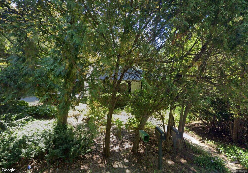
5 Amherst Rd Pelham, MA 01002
Estimated Value: $436,000 - $579,000
4
Beds
3
Baths
1,955
Sq Ft
$261/Sq Ft
Est. Value
About This Home
This home is located at 5 Amherst Rd, Pelham, MA 01002 and is currently estimated at $509,593, approximately $260 per square foot. 5 Amherst Rd is a home located in Hampshire County with nearby schools including Pelham Elementary School, Amherst Regional Middle School, and Amherst Regional High School.
Ownership History
Date
Name
Owned For
Owner Type
Purchase Details
Closed on
Jan 29, 2024
Sold by
Ozereko Frank R and Ozereko Francine T
Bought by
Ozereko John and Ozereko Zoe E
Current Estimated Value
Create a Home Valuation Report for This Property
The Home Valuation Report is an in-depth analysis detailing your home's value as well as a comparison with similar homes in the area
Home Values in the Area
Average Home Value in this Area
Purchase History
| Date | Buyer | Sale Price | Title Company |
|---|---|---|---|
| Ozereko John | -- | None Available |
Source: Public Records
Tax History
| Year | Tax Paid | Tax Assessment Tax Assessment Total Assessment is a certain percentage of the fair market value that is determined by local assessors to be the total taxable value of land and additions on the property. | Land | Improvement |
|---|---|---|---|---|
| 2025 | $6,160 | $363,000 | $113,800 | $249,200 |
| 2024 | $6,852 | $391,100 | $113,800 | $277,300 |
| 2023 | $6,483 | $363,000 | $113,800 | $249,200 |
| 2022 | $6,760 | $328,800 | $94,800 | $234,000 |
| 2021 | $6,724 | $313,900 | $94,800 | $219,100 |
| 2019 | $6,777 | $313,900 | $94,800 | $219,100 |
| 2018 | $6,551 | $313,900 | $94,800 | $219,100 |
| 2017 | $6,397 | $304,600 | $107,700 | $196,900 |
| 2016 | $6,461 | $304,600 | $107,700 | $196,900 |
| 2015 | $6,333 | $304,600 | $107,700 | $196,900 |
| 2014 | $6,055 | $296,800 | $107,700 | $189,100 |
Source: Public Records
Map
Nearby Homes
- 9 Harkness Rd
- 0 Amherst Rd
- 0 Heatherstone Rd
- 61 S Valley Rd
- 156 Aubinwood Rd
- 135 Pelham Rd
- LOT 3 Harkness Rd
- 0 Red Gate Ln Unit 73348273
- 12 White Pine Rd
- 35 Taylor St
- 36 Trillium Way
- 104 Spring St
- 130 Linden Ridge Rd
- 100 Larkspur Dr
- 0 Main St
- 12 Pleasant Ct
- 50 Mount Pleasant
- 23 Alyssum Dr
- 32 N Prospect St Unit 5
- 494 Station Rd
Your Personal Tour Guide
Ask me questions while you tour the home.