5 Ashworth Dr Auburn, MA 01501
West Auburn NeighborhoodEstimated Value: $685,000 - $845,000
4
Beds
3
Baths
2,766
Sq Ft
$280/Sq Ft
Est. Value
About This Home
This home is located at 5 Ashworth Dr, Auburn, MA 01501 and is currently estimated at $773,231, approximately $279 per square foot. 5 Ashworth Dr is a home located in Worcester County with nearby schools including Auburn Senior High School and Shrewsbury Montessori School - Auburn Campus.
Ownership History
Date
Name
Owned For
Owner Type
Purchase Details
Closed on
Jan 31, 2007
Sold by
Mcdermott Christine A and Mcdermott John F
Bought by
Vincent Eric L and Vincent Jeannette L
Current Estimated Value
Home Financials for this Owner
Home Financials are based on the most recent Mortgage that was taken out on this home.
Original Mortgage
$304,000
Outstanding Balance
$182,083
Interest Rate
6.16%
Mortgage Type
Purchase Money Mortgage
Estimated Equity
$591,148
Create a Home Valuation Report for This Property
The Home Valuation Report is an in-depth analysis detailing your home's value as well as a comparison with similar homes in the area
Home Values in the Area
Average Home Value in this Area
Purchase History
| Date | Buyer | Sale Price | Title Company |
|---|---|---|---|
| Vincent Eric L | $380,000 | -- |
Source: Public Records
Mortgage History
| Date | Status | Borrower | Loan Amount |
|---|---|---|---|
| Open | Vincent Eric L | $304,000 |
Source: Public Records
Tax History Compared to Growth
Tax History
| Year | Tax Paid | Tax Assessment Tax Assessment Total Assessment is a certain percentage of the fair market value that is determined by local assessors to be the total taxable value of land and additions on the property. | Land | Improvement |
|---|---|---|---|---|
| 2025 | $80 | $557,300 | $133,100 | $424,200 |
| 2024 | $8,671 | $580,800 | $129,500 | $451,300 |
| 2023 | $8,262 | $520,300 | $117,800 | $402,500 |
| 2022 | $7,650 | $454,800 | $117,800 | $337,000 |
| 2021 | $5,514 | $420,500 | $104,000 | $316,500 |
| 2020 | $10,026 | $420,500 | $104,000 | $316,500 |
| 2019 | $7,364 | $399,800 | $102,800 | $297,000 |
| 2018 | $9,747 | $395,300 | $96,200 | $299,100 |
| 2017 | $7,096 | $386,900 | $87,800 | $299,100 |
| 2016 | $6,787 | $375,200 | $90,200 | $285,000 |
| 2015 | $6,398 | $370,700 | $90,200 | $280,500 |
| 2014 | $6,326 | $365,900 | $86,000 | $279,900 |
Source: Public Records
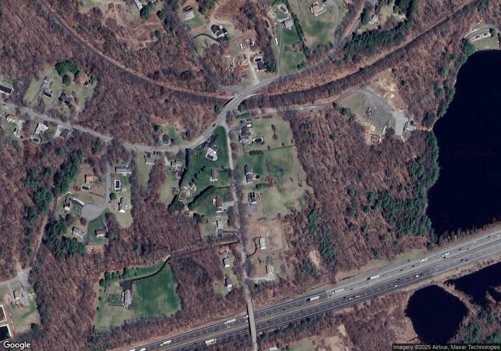
Map
Nearby Homes
- 620 Henshaw St
- 19 Virginia Dr Unit 19
- 23 Thayer Pond Dr Unit 1
- 6 Ryans Way Unit 6
- 24 Thayer Pond Dr Unit 16
- 28 Thayer Pond Dr Unit 12
- 34 Thayer Pond Dr Unit 8
- 1098 Stafford St Unit 9
- 748-A Stafford St
- 48 Appleton Rd
- 808 Washington St
- 0 Athens St
- 45 Leicester St
- 217 Prospect St
- 2 Sherman Ave
- 31-37 Leicester St
- 20 Leicester St
- 4 Linden Ln
- 27 W Applewood Dr
- 21 Linda Ave