5 Ballister St Unit 514 Wakefield, MA 01880
West Side NeighborhoodEstimated Value: $280,000 - $601,000
2
Beds
2
Baths
1,257
Sq Ft
$324/Sq Ft
Est. Value
About This Home
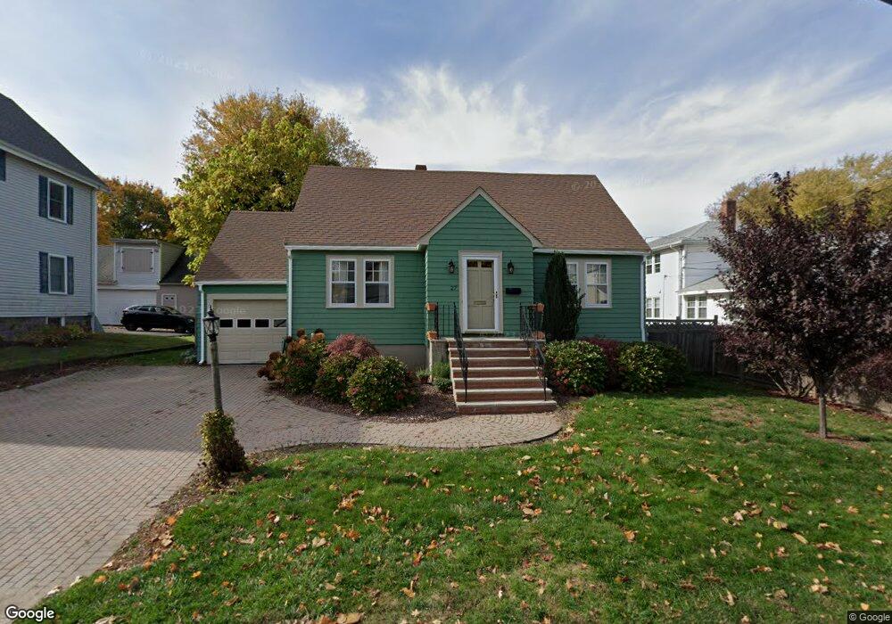
This home is located at 5 Ballister St Unit 514, Wakefield, MA 01880 and is currently estimated at $407,272, approximately $324 per square foot. 5 Ballister St Unit 514 is a home located in Middlesex County with nearby schools including Wakefield Memorial High School, St Joseph School, and St. Patrick Elementary School.
Ownership History
Date
Name
Owned For
Owner Type
Purchase Details
Closed on
Sep 12, 2007
Sold by
Wakefield Xing Llc
Bought by
Cummings Kimberly
Current Estimated Value
Home Financials for this Owner
Home Financials are based on the most recent Mortgage that was taken out on this home.
Original Mortgage
$107,820
Outstanding Balance
$68,718
Interest Rate
6.7%
Mortgage Type
Purchase Money Mortgage
Estimated Equity
$338,554
Create a Home Valuation Report for This Property
The Home Valuation Report is an in-depth analysis detailing your home's value as well as a comparison with similar homes in the area
Home Values in the Area
Average Home Value in this Area
Purchase History
| Date | Buyer | Sale Price | Title Company |
|---|---|---|---|
| Cummings Kimberly | $167,900 | -- |
Source: Public Records
Mortgage History
| Date | Status | Borrower | Loan Amount |
|---|---|---|---|
| Open | Cummings Kimberly | $107,820 |
Source: Public Records
Tax History Compared to Growth
Tax History
| Year | Tax Paid | Tax Assessment Tax Assessment Total Assessment is a certain percentage of the fair market value that is determined by local assessors to be the total taxable value of land and additions on the property. | Land | Improvement |
|---|---|---|---|---|
| 2025 | $3,102 | $273,300 | $0 | $273,300 |
| 2024 | $2,964 | $263,500 | $0 | $263,500 |
| 2023 | $2,977 | $253,800 | $0 | $253,800 |
| 2022 | $3,006 | $244,000 | $0 | $244,000 |
| 2021 | $2,843 | $223,300 | $0 | $223,300 |
| 2020 | $2,770 | $216,900 | $0 | $216,900 |
| 2019 | $2,707 | $211,000 | $0 | $211,000 |
| 2018 | $2,404 | $185,600 | $0 | $185,600 |
| 2017 | $2,164 | $166,100 | $0 | $166,100 |
| 2016 | $2,146 | $159,100 | $0 | $159,100 |
| 2015 | $2,145 | $159,100 | $0 | $159,100 |
| 2014 | $2,033 | $159,100 | $0 | $159,100 |
Source: Public Records
Map
Nearby Homes
- 69 Foundry St Unit 416
- 69 Foundry St Unit 310
- 62 Foundry St Unit 310
- 62 Foundry St Unit 312
- 62 Foundry St Unit 506
- 62 Foundry St Unit 202
- 62 Foundry St Unit 208
- 62 Foundry St Unit 414
- 62 Foundry St Unit 406
- 62 Foundry St Unit 313
- Unit 208 Plan at Wrenly
- Unit 310 Plan at Wrenly
- 5 Byron St
- 10 Converse St
- 6 Avon Ct Unit 2
- 50 Albion St
- 34 Cedar St
- 47 Emerson St
- 9 Avon St Unit 2
- 22 Jefferson Rd
- 5 Ballister St Unit 545
- 5 Ballister St Unit 544
- 5 Ballister St Unit 543
- 5 Ballister St Unit 542
- 5 Ballister St Unit 541
- 5 Ballister St Unit 535
- 5 Ballister St Unit 534
- 5 Ballister St Unit 533
- 5 Ballister St Unit 532
- 5 Ballister St Unit 531
- 5 Ballister St Unit 525
- 5 Ballister St Unit 524
- 5 Ballister St Unit 523
- 5 Ballister St Unit 522
- 5 Ballister St Unit 515
- 5 Ballister St Unit 513
- 5 Ballister St Unit 512
- 5 Ballister St Unit 511
- 5 Ballister St Unit AA
- 5 Ballister St Unit 31