5 Bayle Ln Gloucester, MA 01930
West Gloucester NeighborhoodEstimated Value: $1,137,000 - $1,727,000
3
Beds
1
Bath
1,262
Sq Ft
$1,103/Sq Ft
Est. Value
About This Home
This home is located at 5 Bayle Ln, Gloucester, MA 01930 and is currently estimated at $1,392,335, approximately $1,103 per square foot. 5 Bayle Ln is a home located in Essex County with nearby schools including West Parish, Ralph B O'maley Middle School, and Gloucester High School.
Ownership History
Date
Name
Owned For
Owner Type
Purchase Details
Closed on
Oct 14, 2014
Sold by
Surabian George A and Surabian Surabin Lisa
Bought by
Bayle Lane Properties
Current Estimated Value
Purchase Details
Closed on
Aug 21, 1996
Sold by
Schultz Stephen
Bought by
Surabian George A and Sarabian Lisa
Home Financials for this Owner
Home Financials are based on the most recent Mortgage that was taken out on this home.
Original Mortgage
$176,000
Interest Rate
8.4%
Mortgage Type
Purchase Money Mortgage
Create a Home Valuation Report for This Property
The Home Valuation Report is an in-depth analysis detailing your home's value as well as a comparison with similar homes in the area
Home Values in the Area
Average Home Value in this Area
Purchase History
| Date | Buyer | Sale Price | Title Company |
|---|---|---|---|
| Bayle Lane Properties | -- | -- | |
| Surabian George A | $220,000 | -- |
Source: Public Records
Mortgage History
| Date | Status | Borrower | Loan Amount |
|---|---|---|---|
| Previous Owner | Surabian George A | $206,000 | |
| Previous Owner | Surabian George A | $134,300 | |
| Previous Owner | Surabian George A | $176,000 |
Source: Public Records
Tax History
| Year | Tax Paid | Tax Assessment Tax Assessment Total Assessment is a certain percentage of the fair market value that is determined by local assessors to be the total taxable value of land and additions on the property. | Land | Improvement |
|---|---|---|---|---|
| 2025 | $12,435 | $1,279,300 | $946,000 | $333,300 |
| 2024 | $11,960 | $1,229,200 | $901,200 | $328,000 |
| 2023 | $11,404 | $1,076,900 | $768,600 | $308,300 |
| 2022 | $10,888 | $928,200 | $668,400 | $259,800 |
| 2021 | $9,591 | $771,000 | $519,100 | $251,900 |
| 2020 | $9,229 | $748,500 | $519,100 | $229,400 |
| 2019 | $9,015 | $710,400 | $495,000 | $215,400 |
| 2018 | $8,887 | $687,300 | $482,900 | $204,400 |
| 2017 | $8,485 | $643,300 | $460,200 | $183,100 |
| 2016 | $8,129 | $597,300 | $440,100 | $157,200 |
| 2015 | $7,950 | $582,400 | $430,100 | $152,300 |
Source: Public Records
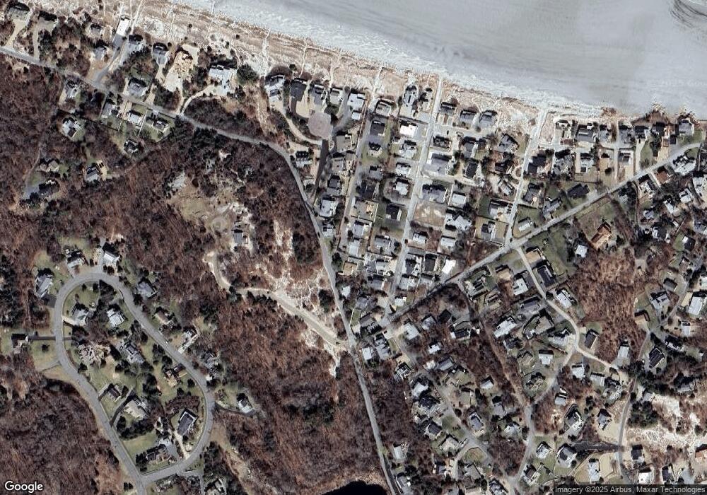
Map
Nearby Homes
- 226 Atlantic St
- 178 Atlantic St
- 167 Atlantic St
- 2 Breezy Point Rd
- 672 Washington St
- 13 Honeysuckle Rd
- 3 Deacon Farm Ln
- 31 Echo Ave
- 7 Colburn St
- 7 Leaman Dr
- 1030 Washington St
- 5 Samoset Rd Unit B
- 43 High St Unit B
- 13 Mystic Ave
- 8 Mystic Ave
- 6 Monroe Ct
- 145 Essex Ave Unit 402
- 24 Cobblestone Ln Unit 603
- 368 Essex Ave
- 5 Lepage Ln
- 3 Bayle Ln
- 7 Bayle Ln
- 1 Sandy Way
- 10 Sleepy Hollow Rd
- 8 Sleepy Hollow Rd
- 9 Bayle Ln
- 3 Sandy Way
- 6 Sleepy Hollow Rd
- 53 Atlantic Ave
- 16 Sleepy Hollow Rd
- 4 Sleepy Hollow Rd
- 7 Sleepy Hollow Rd
- 11 Bayle Ln
- 5 Sandy Way
- 5 Sleepy Hollow Rd
- 18 Sleepy Hollow Rd
- 1 Sleepy Hollow Rd
- 9 Sleepy Hollow Rd
- 9 Sleepy Hollow Rd Unit 1
- 2 Bungalow Rd
Your Personal Tour Guide
Ask me questions while you tour the home.