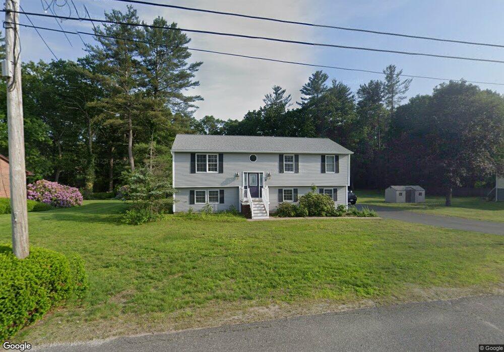
5 Belanger Rd Southampton, MA 01073
Estimated Value: $392,905 - $470,000
2
Beds
3
Baths
1,424
Sq Ft
$292/Sq Ft
Est. Value
About This Home
This home is located at 5 Belanger Rd, Southampton, MA 01073 and is currently estimated at $415,726, approximately $291 per square foot. 5 Belanger Rd is a home located in Hampshire County with nearby schools including William E Norris School, Blessed Sacrament School, and Westfield Christian Academy.
Ownership History
Date
Name
Owned For
Owner Type
Purchase Details
Closed on
Jan 27, 2000
Sold by
Troy Paul R
Bought by
Maharne Gary J
Current Estimated Value
Home Financials for this Owner
Home Financials are based on the most recent Mortgage that was taken out on this home.
Original Mortgage
$147,250
Interest Rate
7.83%
Mortgage Type
Purchase Money Mortgage
Create a Home Valuation Report for This Property
The Home Valuation Report is an in-depth analysis detailing your home's value as well as a comparison with similar homes in the area
Home Values in the Area
Average Home Value in this Area
Purchase History
| Date | Buyer | Sale Price | Title Company |
|---|---|---|---|
| Maharne Gary J | $159,900 | -- |
Source: Public Records
Mortgage History
| Date | Status | Borrower | Loan Amount |
|---|---|---|---|
| Open | Maharne Gary J | $215,000 | |
| Closed | Maharne Gary J | $193,600 | |
| Closed | Maharne Gary J | $36,300 | |
| Closed | Maharne Gary J | $147,250 |
Source: Public Records
Tax History Compared to Growth
Tax History
| Year | Tax Paid | Tax Assessment Tax Assessment Total Assessment is a certain percentage of the fair market value that is determined by local assessors to be the total taxable value of land and additions on the property. | Land | Improvement |
|---|---|---|---|---|
| 2025 | $4,920 | $347,200 | $68,600 | $278,600 |
| 2024 | $4,765 | $334,400 | $68,600 | $265,800 |
| 2023 | $4,792 | $334,400 | $68,600 | $265,800 |
| 2022 | $4,459 | $295,900 | $61,500 | $234,400 |
| 2021 | $4,302 | $269,400 | $56,700 | $212,700 |
| 2020 | $4,298 | $271,700 | $56,700 | $215,000 |
| 2019 | $4,192 | $257,000 | $56,700 | $200,300 |
| 2018 | $3,949 | $236,200 | $50,900 | $185,300 |
| 2017 | $3,855 | $236,200 | $50,900 | $185,300 |
| 2015 | $3,616 | $230,200 | $46,300 | $183,900 |
Source: Public Records
Map
Nearby Homes
- 351 Apremont Hsy
- 397 Apremont Hwy
- 94 Pequot Rd (Rear)
- 16 Davis St
- 150 Middle Rd
- 64 Old Stage Rd
- 21 Old County Rd
- 128 Middle Rd
- 0 Char Dr
- Lot 57 White Loaf Rd
- 178 County Rd
- 36 County Rd
- Lot A Homestead Ave
- 695 Homestead Ave
- 794 Homestead Ave
- 36 Susan Dr
- lot b Homestead Ave
- 7 Vermont St
- 39 Cook Rd
- 101 North Rd