5 Berkshire Ave Linwood, NJ 08221
Estimated Value: $702,053 - $843,000
--
Bed
--
Bath
2,730
Sq Ft
$287/Sq Ft
Est. Value
About This Home
This home is located at 5 Berkshire Ave, Linwood, NJ 08221 and is currently estimated at $784,263, approximately $287 per square foot. 5 Berkshire Ave is a home located in Atlantic County with nearby schools including Seaview Elementary School, Belhaven Middle School, and Mainland Regional High School.
Ownership History
Date
Name
Owned For
Owner Type
Purchase Details
Closed on
Jan 3, 2003
Sold by
Dinenberg Gary
Bought by
Dirkes Clifford and Dirkes Linda
Current Estimated Value
Home Financials for this Owner
Home Financials are based on the most recent Mortgage that was taken out on this home.
Original Mortgage
$180,000
Outstanding Balance
$77,741
Interest Rate
6.19%
Estimated Equity
$706,522
Purchase Details
Closed on
Jul 7, 1992
Sold by
Dinenberg Gary
Bought by
Dinenberg Lynne R
Create a Home Valuation Report for This Property
The Home Valuation Report is an in-depth analysis detailing your home's value as well as a comparison with similar homes in the area
Home Values in the Area
Average Home Value in this Area
Purchase History
| Date | Buyer | Sale Price | Title Company |
|---|---|---|---|
| Dirkes Clifford | $327,500 | -- | |
| Dinenberg Lynne R | -- | -- |
Source: Public Records
Mortgage History
| Date | Status | Borrower | Loan Amount |
|---|---|---|---|
| Open | Dirkes Clifford | $180,000 |
Source: Public Records
Tax History Compared to Growth
Tax History
| Year | Tax Paid | Tax Assessment Tax Assessment Total Assessment is a certain percentage of the fair market value that is determined by local assessors to be the total taxable value of land and additions on the property. | Land | Improvement |
|---|---|---|---|---|
| 2025 | $13,272 | $347,900 | $161,200 | $186,700 |
| 2024 | $13,272 | $347,900 | $161,200 | $186,700 |
| 2023 | $11,634 | $319,800 | $161,200 | $158,600 |
| 2022 | $11,634 | $319,800 | $161,200 | $158,600 |
| 2021 | $11,532 | $319,800 | $161,200 | $158,600 |
| 2020 | $11,372 | $319,800 | $161,200 | $158,600 |
| 2019 | $11,129 | $319,800 | $161,200 | $158,600 |
| 2018 | $10,880 | $319,800 | $161,200 | $158,600 |
| 2017 | $10,662 | $319,800 | $161,200 | $158,600 |
| 2016 | $10,304 | $319,800 | $161,200 | $158,600 |
| 2015 | $10,314 | $319,800 | $161,200 | $158,600 |
| 2014 | $9,939 | $320,600 | $161,200 | $159,400 |
Source: Public Records
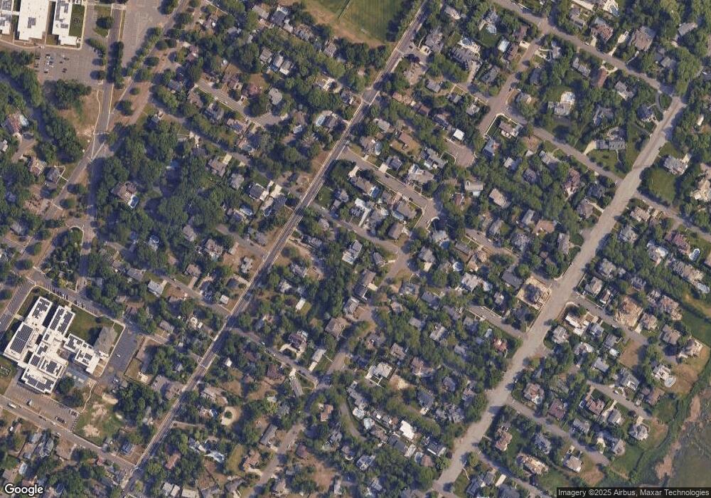
Map
Nearby Homes
- 7 Woodstock Dr
- 1201 Woodlynne Blvd
- 209 Berkshire Ave
- 1917 Ventnor Ave
- 102 Morris Ave
- 208 Balfour Ave
- 103 E Patcong Ave
- 110 E Patcong Ave
- 1610 Shore Rd
- 1610 Woodlynne Blvd
- 108 Holly Ln
- 1050 Shore Rd
- 105 W Edgewood Ave
- 209 Belhaven Ave
- 4 Princeton Ln
- 1016 Richard Dr
- 1011 New Rd
- 110 E Seaview Ave
- 104 W Poplar Ave
- 110 W Poplar Ave
- 1401 Woodlynne Blvd
- 1403 Woodlynne Blvd
- 1410 Shore Rd
- 1406 Shore Rd
- 1405 Woodlynne Blvd
- 8 Berkshire Ave
- 6 Berkshire Ave
- 1418 Shore Rd
- 1325 Woodlynne Blvd
- 1330 Shore Rd
- 17 Cambridge Ave
- 1411 Woodlynne Blvd
- 1315 Woodlynne Blvd
- 101 Berkshire Ave
- 5 Cambridge Ave
- 100 Arlington Ave
- 1426 Shore Rd
- 1324 Woodlynne Blvd
- 1421 Woodlynne Blvd
- 1401 Shore Rd