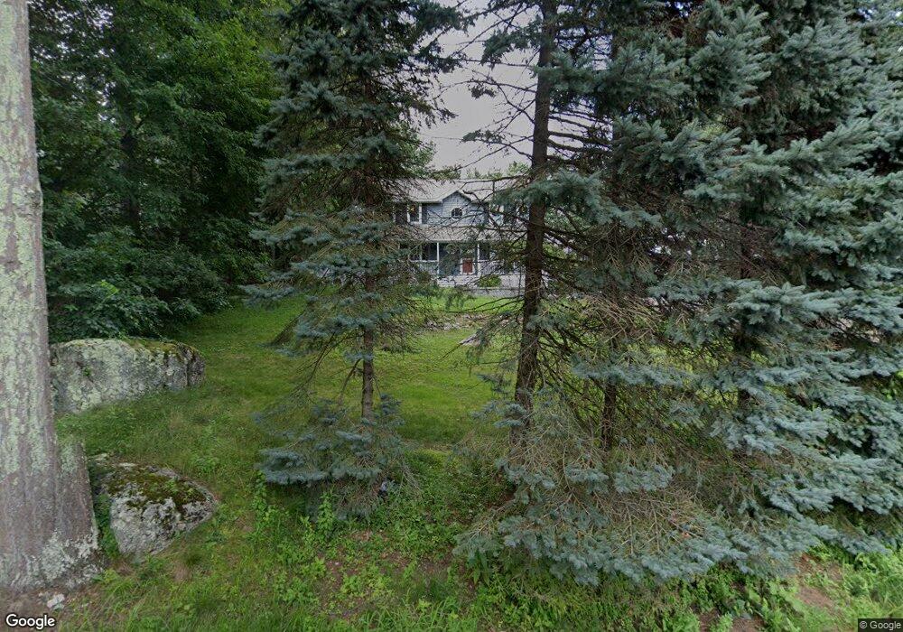
5 Birch Rd Wilmington, MA 01887
Estimated Value: $856,000 - $1,018,000
4
Beds
3
Baths
2,388
Sq Ft
$399/Sq Ft
Est. Value
About This Home
This home is located at 5 Birch Rd, Wilmington, MA 01887 and is currently estimated at $952,245, approximately $398 per square foot. 5 Birch Rd is a home located in Middlesex County with nearby schools including Wilmington Middle School, Wilmington High School, and Abundant Life Christian School and Childcare.
Ownership History
Date
Name
Owned For
Owner Type
Purchase Details
Closed on
Sep 20, 2010
Sold by
Woods Brian A and Woods Mary E
Bought by
Drozdowski Douglas H
Current Estimated Value
Home Financials for this Owner
Home Financials are based on the most recent Mortgage that was taken out on this home.
Original Mortgage
$461,250
Outstanding Balance
$305,658
Interest Rate
4.51%
Mortgage Type
Purchase Money Mortgage
Estimated Equity
$646,587
Purchase Details
Closed on
Nov 29, 1999
Sold by
Newhouse Craig S and Newhouse Linda C
Bought by
Woods Brian A
Home Financials for this Owner
Home Financials are based on the most recent Mortgage that was taken out on this home.
Original Mortgage
$240,000
Interest Rate
7.77%
Mortgage Type
Purchase Money Mortgage
Purchase Details
Closed on
Oct 13, 1994
Sold by
Fritsch Louis H
Bought by
Newhouse Craig S
Create a Home Valuation Report for This Property
The Home Valuation Report is an in-depth analysis detailing your home's value as well as a comparison with similar homes in the area
Home Values in the Area
Average Home Value in this Area
Purchase History
| Date | Buyer | Sale Price | Title Company |
|---|---|---|---|
| Drozdowski Douglas H | $512,500 | -- | |
| Woods Brian A | $304,000 | -- | |
| Newhouse Craig S | $42,500 | -- |
Source: Public Records
Mortgage History
| Date | Status | Borrower | Loan Amount |
|---|---|---|---|
| Open | Drozdowski Douglas H | $461,250 | |
| Previous Owner | Newhouse Craig S | $300,000 | |
| Previous Owner | Newhouse Craig S | $240,000 | |
| Previous Owner | Newhouse Craig S | $50,000 |
Source: Public Records
Tax History Compared to Growth
Tax History
| Year | Tax Paid | Tax Assessment Tax Assessment Total Assessment is a certain percentage of the fair market value that is determined by local assessors to be the total taxable value of land and additions on the property. | Land | Improvement |
|---|---|---|---|---|
| 2025 | $9,351 | $816,700 | $303,400 | $513,300 |
| 2024 | $9,227 | $807,300 | $303,400 | $503,900 |
| 2023 | $8,611 | $721,200 | $275,800 | $445,400 |
| 2022 | $8,124 | $623,500 | $229,800 | $393,700 |
| 2021 | $8,110 | $586,000 | $208,900 | $377,100 |
| 2020 | $7,628 | $561,700 | $208,900 | $352,800 |
| 2019 | $7,495 | $545,100 | $198,900 | $346,200 |
| 2018 | $7,352 | $510,200 | $189,500 | $320,700 |
| 2017 | $7,138 | $494,000 | $185,900 | $308,100 |
| 2016 | $6,658 | $455,100 | $177,100 | $278,000 |
| 2015 | $6,406 | $445,800 | $177,100 | $268,700 |
| 2014 | $6,062 | $425,700 | $168,700 | $257,000 |
Source: Public Records
Map
Nearby Homes
- 142 Burlington Ave
- 414-418 Main St
- 14 Roberts Rd
- 48 Brand Ave
- 11 Patchs Pond Ln
- 40 Agostino Dr
- 96 Middlesex Ave
- 3 Cochrane Rd
- 15 Forest St
- 27 Fairview Ave
- 8 Cushing Dr
- 56 Grove Ave
- 62 Adams St
- 9 Parker St
- 2 Winston Ave
- 7 Cross St Unit 306
- 7 Cross St Unit 304
- 7 Cross St Unit 205
- 7 Cross St (Units 201 & 202)
- 61 Lowell St